2000s (21st Century) Maps of Pleasant Lake Township, South Dakota
Explore 16 historic maps of Pleasant Lake Township from the 2000s (21st Century). These maps offer a rare glimpse into what life looked like during the 2000s — showing old roads, neighborhoods, homes, and landmarks that have changed or disappeared over time.
Whether you're researching your family's past, planning a metal detecting trip, or studying how Pleasant Lake Township's landscape evolved across the 2000s, these high-resolution maps are a powerful tool for exploring the history of this region.
- Focus on a specific era: All maps on this page are from the 2000s, giving you a focused view of this time period.
- See what’s changed: Compare century-old streets, trails, and buildings to today's modern landscape using overlays and satellite layers.
- Research with precision: Use these maps for genealogy, historical research, land use analysis, or educational projects.
- View, download, or print: Maps are fully viewable online in high resolution, and can be downloaded or printed for your own records.
Start exploring Pleasant Lake Township's history through authentic maps from the 2000s. This is your window into the past.
Pleasant Lake Township, SD maps
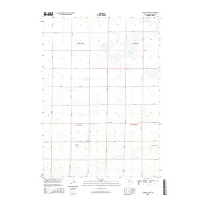
(16)- 2012 Map of Aurora Center, 2012 Print
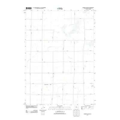 2012 Aurora Center2012 Print · USGSCovers Pleasant Lake Township, including Truro Township, Crystal Lake Township, and other nearby areas
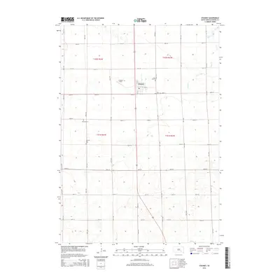
 - 2012 Map of Stickney, 2012 Print
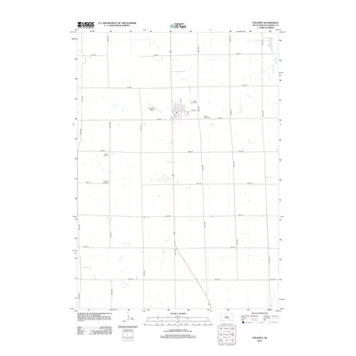 2012 Stickney2012 Print · USGSCovers Pleasant Lake Township, including Stickney, Truro Township, and other nearby areas
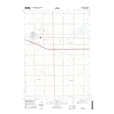
 - 2012 Map of Plankinton, 2012 Print
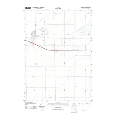 2012 Plankinton2012 Print · USGSCovers Pleasant Lake Township, including Plankinton, Hopper Township, and other nearby areas
 - 2012 Map of Crystal Lake, 2012 Print
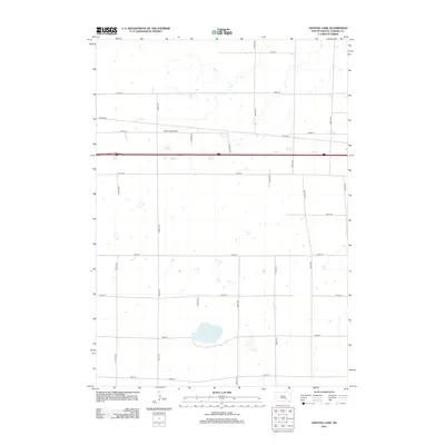 2012 Crystal Lake2012 Print · USGSCovers Pleasant Lake Township, including Eureka Township, Crystal Lake Township, and other nearby areas
 - 2015 Map of Crystal Lake, 2015 Print
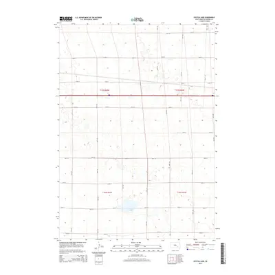 2015 Crystal Lake2015 Print · USGSCovers Pleasant Lake Township, including Eureka Township, Crystal Lake Township, and other nearby areas
 - 2015 Map of Aurora Center, 2015 Print
 2015 Aurora Center2015 Print · USGSCovers Pleasant Lake Township, including Truro Township, Crystal Lake Township, and other nearby areas
 - 2015 Map of Stickney, 2015 Print
 2015 Stickney2015 Print · USGSCovers Pleasant Lake Township, including Stickney, Truro Township, and other nearby areas
 - 2015 Map of Plankinton, 2015 Print
 2015 Plankinton2015 Print · USGSCovers Pleasant Lake Township, including Plankinton, Hopper Township, and other nearby areas
 - 2017 Map of Plankinton, 2017 Print
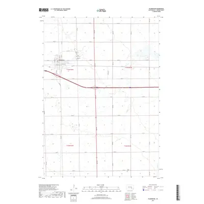 2017 Plankinton2017 Print · USGSCovers Pleasant Lake Township, including Plankinton, Hopper Township, and other nearby areas
 - 2017 Map of Aurora Center, 2017 Print
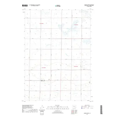 2017 Aurora Center2017 Print · USGSCovers Pleasant Lake Township, including Truro Township, Crystal Lake Township, and other nearby areas
 - 2017 Map of Crystal Lake, 2017 Print
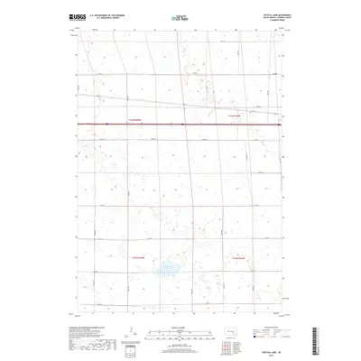 2017 Crystal Lake2017 Print · USGSCovers Pleasant Lake Township, including Eureka Township, Crystal Lake Township, and other nearby areas
 - 2017 Map of Stickney, 2017 Print
 2017 Stickney2017 Print · USGSCovers Pleasant Lake Township, including Stickney, Truro Township, and other nearby areas
 - 2021 Map of Aurora Center, 2021 Print
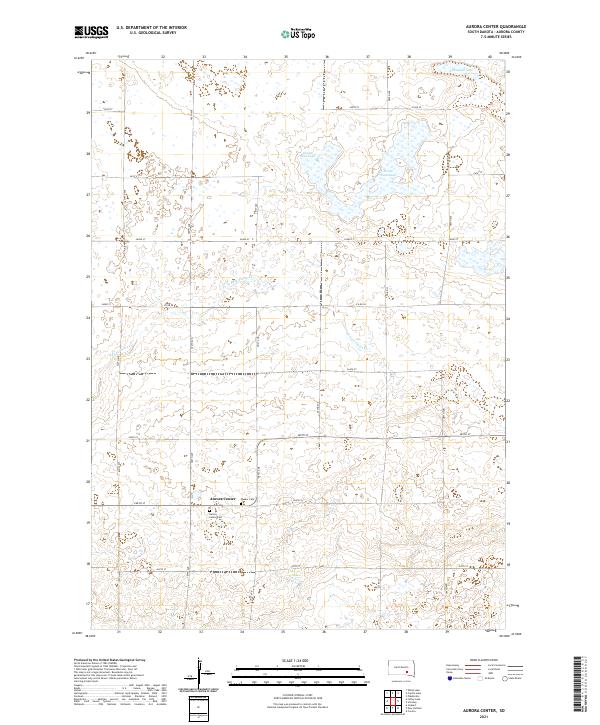 2021 Aurora Center2021 Print · USGSAurora County in the early 2020s remains a landscape defined by its agricultural grid and the small settlement of Aurora Center. Genealogists and local historians can locate the Aurora Center Cem and Quaker Cem or trace the path of the E Fork Platte Cr.
 - 2021 Map of Stickney, 2021 Print
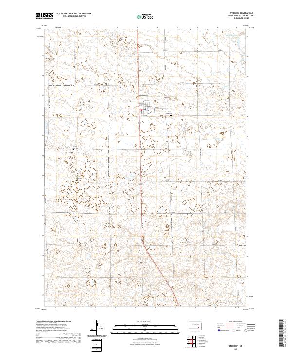 2021 Stickney2021 Print · USGSThe rural prairie around Stickney is documented here in the early twenty-first century, showing a landscape defined by agriculture and community history. Researchers can locate several burial grounds including Silver Ridge Cem and Old Saint Paul Cem or trace the course of Enemy Cr.
 - 2021 Map of Crystal Lake, 2021 Print
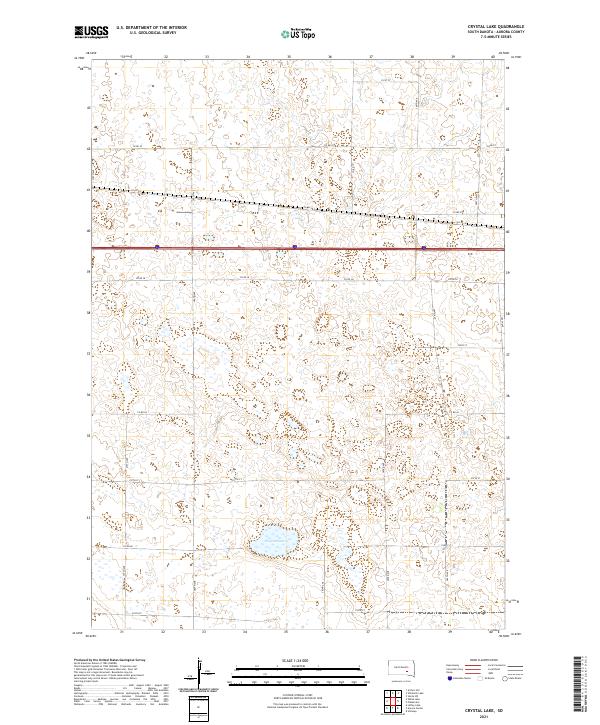 2021 Crystal Lake2021 Print · USGSAurora County's prairie landscape is captured in the early 2020s, showing a traditional grid of section-line roads and seasonal wetlands. Genealogists and local historians can trace property boundaries near Crystal Lake or follow the route of Interstate 90 across the plains.
 - 2021 Map of Plankinton, 2021 Print
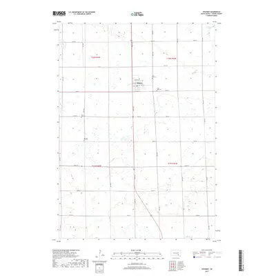
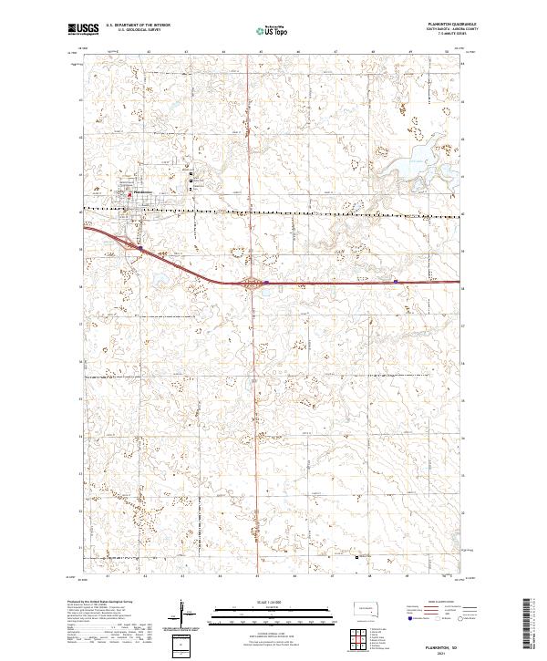 2021 Plankinton2021 Print · USGSPlankinton and its surrounding Aurora County farmstead lands are captured here in the early twenty-first century. Researchers can trace local heritage at the Aurora County Courthouse or locate family sites at Mizpah Cem, Saint Johns Cem, and Dudley Cem.
End of results
Showing maps 1-16 of 16
Top cities near Pleasant Lake Township
- Corsica historical maps
- Plankinton historical maps
- White Lake historical maps
- Stickney historical maps
- Joubert historical maps
Frequently asked questions
- What are the different types of historical maps available for Pleasant Lake Township?
- What is the oldest map of Pleasant Lake Township?
- Where can I purchase historical maps of Pleasant Lake Township for my home or office?
- Where can I download high-res historical maps of Pleasant Lake Township?
- Are there historical topographic maps available for Pleasant Lake Township?
- Is there historical aerial imagery available for Pleasant Lake Township?
- Where are historical maps of Pleasant Lake Township sourced from?