Old Maps of Harrington, Martin for Genealogy
Trace your family roots with 8 historic maps of Harrington. These high-res maps reveal old neighborhoods, homesites, landmarks, and streets — helping you uncover where your ancestors lived and how the area evolved over time.
- Explore historic neighborhoods: Identify where your relatives may have lived in the 1800s or 1900s.
- Compare maps over time: Trace the changes in streets, buildings, and landmarks for multi-generational research.
- Perfect for genealogy & ancestry research: Used by family historians and researchers to map out lineage and migration.
These maps are an incredible resource for exploring your personal connection to Harrington's past.
Harrington, Martin maps
(8)- 1955 Map of Martin, 1968 Print
 1955 Martin1968 Print · USGSTribal lands and rail corridors define the South Dakota plains in the mid-fifties, from the sand hills to the badlands. Genealogists and historians can trace the early layout of Pine Ridge Indian Reservation settlements and find small rail towns like Stamford and Witten.2 unique versions available
 - 1958 Map of Martin
 1958 Martin1958 Print · USGSSouth Dakota's southern plains are documented here in the late fifties, showing the expansive Pine Ridge and Rosebud Indian Reservations. Genealogists and historians can locate early settlements along the Chicago Milwaukee St Paul and Pacific line or find family roots near Martin and the Indian Cemetery.
 - 1981 Map of Tuthill
 1981 Tuthill1981 Print · USGSBennett County ranching country comes into focus in the early eighties as the Little White River winds through the prairie. Genealogists and local researchers can trace early homestead footprints near Vetal, Tuthill, and the rural England Sch.2 unique versions available
 - 1983 Map of Martin
 1983 Martin1983 Print · USGSBennett County and the neighboring tribal lands appear here in the early eighties as a network of High Plains settlements and conservation areas. Researchers can trace tribal boundaries and local genealogy through sites like Pine Ridge Indian Reservation, Long Valley, and Arnold Ranch.
 - 2012 Map of Harrington, 2012 Print
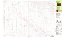
 2012 Harrington2012 Print · USGSCovers Harrington, including Martin, Bennett County, and other nearby areas
 - 2015 Map of Harrington, 2015 Print
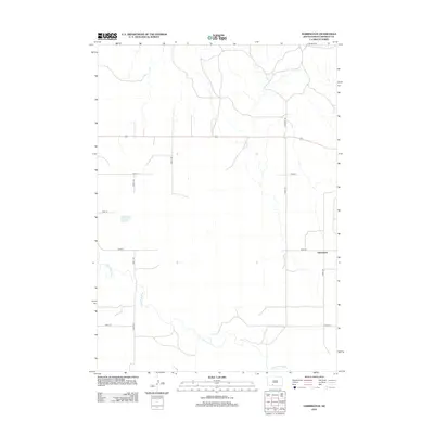
 2015 Harrington2015 Print · USGSCovers Harrington, including Martin, Bennett County, and other nearby areas
 - 2017 Map of Harrington, 2017 Print
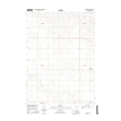
 2017 Harrington2017 Print · USGSCovers Harrington, including Martin, Bennett County, and other nearby areas
 - 2021 Map of Harrington, 2021 Print
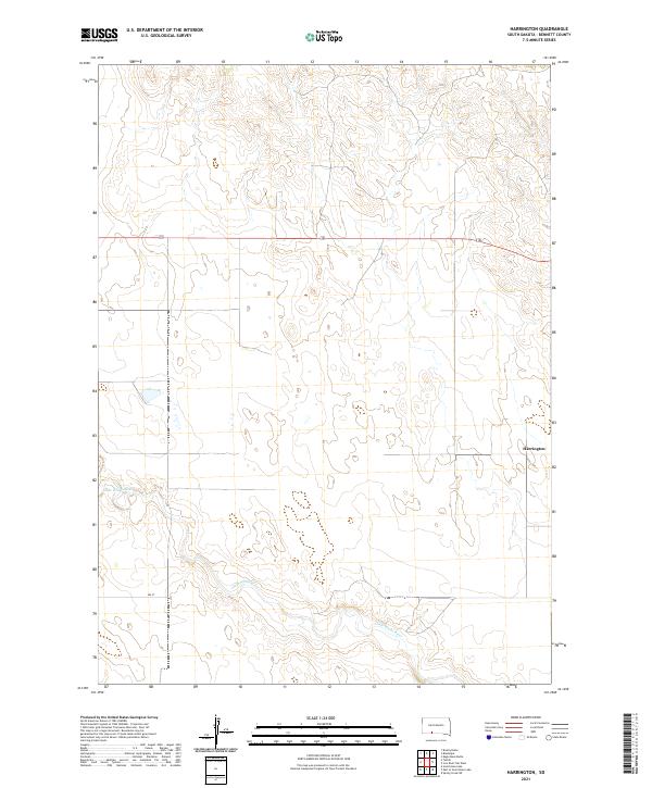 2021 Harrington2021 Print · USGSThe high plains of Bennett County come into focus in this recent survey, capturing the rural character of the Harrington vicinity. Genealogists and historians can trace the meandering Little White River and locate section lines within T37N R34W or along 294 St.
End of results
Showing maps 1-8 of 8
Top cities near Harrington
Frequently asked questions
- What are the different types of historical maps available for Harrington?
- What is the oldest map of Harrington?
- Where can I purchase historical maps of Harrington for my home or office?
- Where can I download high-res historical maps of Harrington?
- Are there historical topographic maps available for Harrington?
- Is there historical aerial imagery available for Harrington?
- Where are historical maps of Harrington sourced from?