Old Maps of Plenty Bears, Martin for Genealogy
Trace your family roots with 8 historic maps of Plenty Bears. These high-res maps reveal old neighborhoods, homesites, landmarks, and streets — helping you uncover where your ancestors lived and how the area evolved over time.
- Explore historic neighborhoods: Identify where your relatives may have lived in the 1800s or 1900s.
- Compare maps over time: Trace the changes in streets, buildings, and landmarks for multi-generational research.
- Perfect for genealogy & ancestry research: Used by family historians and researchers to map out lineage and migration.
These maps are an incredible resource for exploring your personal connection to Plenty Bears's past.
Plenty Bears, Martin maps
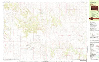
(8)- 1955 Map of Martin, 1968 Print
 1955 Martin1968 Print · USGSTribal lands and rail corridors define the South Dakota plains in the mid-fifties, from the sand hills to the badlands. Genealogists and historians can trace the early layout of Pine Ridge Indian Reservation settlements and find small rail towns like Stamford and Witten.2 unique versions available
 - 1958 Map of Martin
 1958 Martin1958 Print · USGSSouth Dakota's southern plains are documented here in the late fifties, showing the expansive Pine Ridge and Rosebud Indian Reservations. Genealogists and historians can locate early settlements along the Chicago Milwaukee St Paul and Pacific line or find family roots near Martin and the Indian Cemetery.
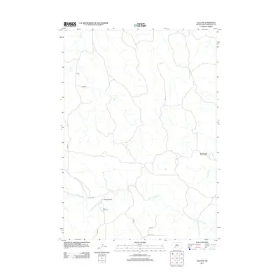
 - 1981 Map of Allen
 1981 Allen1981 Print · USGSBennett County in the early eighties reveals a sparse ranching and creek-side landscape focused on the community of Allen. Researchers can find numerous family-named landmarks and rural burial sites including Red Bear Cem, Plenty Bears, and Peyote Cem.
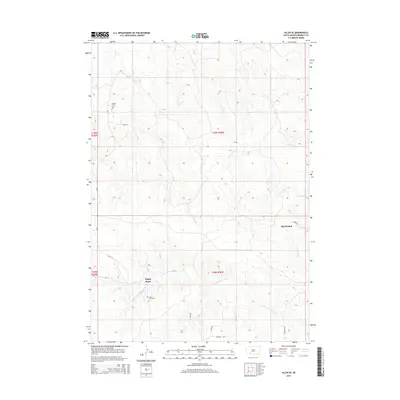
 - 1983 Map of Martin
 1983 Martin1983 Print · USGSBennett County and the neighboring tribal lands appear here in the early eighties as a network of High Plains settlements and conservation areas. Researchers can trace tribal boundaries and local genealogy through sites like Pine Ridge Indian Reservation, Long Valley, and Arnold Ranch.
 - 2012 Map of Allen SE, 2012 Print
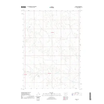
 2012 Allen SE2012 Print · USGSCovers Plenty Bears, including Martin, Allen, and other nearby areas
 - 2015 Map of Allen SE, 2015 Print
 2015 Allen SE2015 Print · USGSCovers Plenty Bears, including Martin, Allen, and other nearby areas
 - 2017 Map of Allen SE, 2017 Print
 2017 Allen SE2017 Print · USGSCovers Plenty Bears, including Martin, Allen, and other nearby areas
 - 2021 Map of Allen SE, 2021 Print
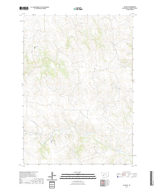 2021 Allen SE2021 Print · USGSBennett County's high prairie landscape is captured here in the early twenty-first century, showing a remote part of South Dakota. Family historians can locate rural burial sites such as Saint Johns Cemetery and Salaway Cemetery along the banks of Bear-in-the-Lodge Creek.
End of results
Showing maps 1-8 of 8
Top cities near Plenty Bears
Frequently asked questions
- What are the different types of historical maps available for Plenty Bears?
- What is the oldest map of Plenty Bears?
- Where can I purchase historical maps of Plenty Bears for my home or office?
- Where can I download high-res historical maps of Plenty Bears?
- Are there historical topographic maps available for Plenty Bears?
- Is there historical aerial imagery available for Plenty Bears?
- Where are historical maps of Plenty Bears sourced from?