Old Maps of Beresford, South Dakota for Hiking & Exploration
Hike through history with 7 historic maps of Beresford. Explore old trails, ghost towns, and forgotten backroads — perfect for outdoor adventurers and local explorers.
- Rediscover forgotten places: Map out old mining camps, roads, and footpaths that no longer exist on modern maps.
- Layer with modern tools: Combine with LiDAR or satellite views to plan hikes through historical terrain.
- Made for exploration: Popular among hikers, overlanders, and local history lovers.
Use these maps to find adventure and explore the hidden past of Beresford.
Beresford, SD maps
(7)- 1897 Map of Canton, 1954 Print
 1897 Canton1954 Print · USGSSoutheastern South Dakota and the Iowa borderlands were undergoing a railway-driven expansion during the 1890s. Genealogists and historians can trace early settlements like Beloit, Centerville, and Lennox as they grew along the Big Sioux River.
 - 1900 Map of Canton
 1900 Canton1900 Print · USGSSoutheastern South Dakota and the Iowa borderlands are captured here at a peak of late-nineteenth-century rail expansion. Genealogists can trace the early foundations of towns like Canton, Centerville, and Beresford along the Big Sioux River.2 unique versions available
 - 1955 Map of Sioux Falls, 1967 Print
 1955 Sioux Falls1967 Print · USGSThe eastern South Dakota and western Minnesota borderlands come alive in the mid-fifties, showing the vital rail-to-river connections of the era. Genealogists can trace family footprints across townships like Madison and Pipestone, while following the paths of the Big Sioux River and the Chicago and North Western line.3 unique versions available
 - 1958 Map of Sioux Falls
 1958 Sioux Falls1958 Print · USGSThe tri-state borderlands of South Dakota, Minnesota, and Iowa are captured here during the mid-century peak of the regional rail network. Genealogists and historians can trace local landmarks like Augustana Academy, the St Marys Cem, and the path of the Illinois Central through Rock Rapids.
 - 1968 Map of Beresford, 1971 Print
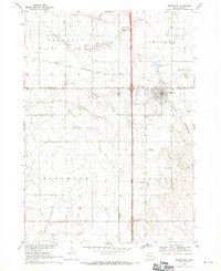 1968 Beresford1971 Print · USGSBeresford and the surrounding prairie townships are captured in the late sixties as modern highway interchanges began to reshape the rural landscape. Researchers can locate numerous country schools and cemeteries like Glenwood Sch, St Johns Cem, and Brooklyn Ch.
 - 1985 Map of Rock Rapids
 1985 Rock Rapids1985 Print · USGSThe borderlands of South Dakota and Iowa come into focus in the mid-1980s, centered on the fertile valleys of the Big Sioux River. Genealogists and researchers can trace rural homesteads near Rock Rapids, find Dordt College in Sioux Center, or locate old burial sites like Grace Hill Cem.2 unique versions available
 - 2021 Map of Beresford, 2021 Print
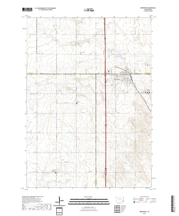 2021 Beresford2021 Print · USGSBeresford sits at a tri-county junction in southeastern South Dakota during the early 2020s. Genealogists can locate an unusual density of rural burial grounds such as Bonine Cem, Brooklyn Cem, and Danefield Seventh Day Advent Cem along the township lines.
End of results
Showing maps 1-7 of 7
Top cities near Beresford
- Canton historical maps
- Centerville historical maps
- Alcester historical maps
- Big Springs historical maps
- Emmet historical maps
- Davis historical maps
Frequently asked questions
- What are the different types of historical maps available for Beresford?
- What is the oldest map of Beresford?
- Where can I purchase historical maps of Beresford for my home or office?
- Where can I download high-res historical maps of Beresford?
- Are there historical topographic maps available for Beresford?
- Is there historical aerial imagery available for Beresford?
- Where are historical maps of Beresford sourced from?