Old Maps of Springfield Township, South Dakota for Academic Research
Study the evolution of Springfield Township with 25 high-resolution historic maps. Whether you're teaching, researching, or modeling changes in land use, these maps provide essential visual documentation of urban, environmental, and geographic change.
- Analyze long-term change: Track patterns in development, transportation, and natural features.
- Ideal for environmental or urban studies: Support academic projects with primary historical map data.
- Use in the classroom or lab: Educators and researchers rely on these maps to bring historical context to life.
These maps are a powerful tool for teaching, research, and visualizing how Springfield Township has changed over the decades.
Springfield Township, SD maps
(25)- 1955 Map of Sioux City, 1959 Print
 1955 Sioux City1959 Print · USGSThe Missouri River valley in the mid-fifties is captured here during a time of major engineering and social transition. Genealogists and historians can trace the foundations of Gavins Point Dam, tribal boundaries on the Santee Sioux Indian Reservation, and local landmarks like the Norfolk State Hospital.4 unique versions available
 - 1958 Map of Sioux City
 1958 Sioux City1958 Print · USGSThe Missouri River valley in the late fifties was a bustling intersection of tribal lands, rail corridors, and river towns. Genealogists can trace family roots through specific rural sites like Daisy Valley School, St Johns Church and School, and Yankton State Hospital.
 - 1959 Map of Sioux City
 1959 Sioux City1959 Print · USGSThe tri-state region surrounding the Missouri River is captured here in the late fifties, showing the convergence of Nebraska, South Dakota, and Iowa. Researchers can trace rural lineages through numerous country schoolhouses like Cemetery School and the many numbered Washington School districts.
 - 1977 Map of Springfield, 1979 Print
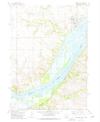
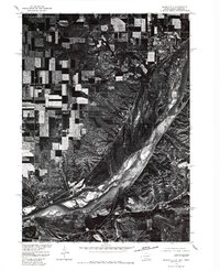 1977 Springfield1979 Print · USGSNear the South Dakota and Nebraska border in the late seventies, this aerial survey captures the town of Springfield perched above the river bluffs. Researchers can trace the mid-century channel of the Missouri River and examine the local layout of rural roads and homesteads.
 - 1978 Map of Santee
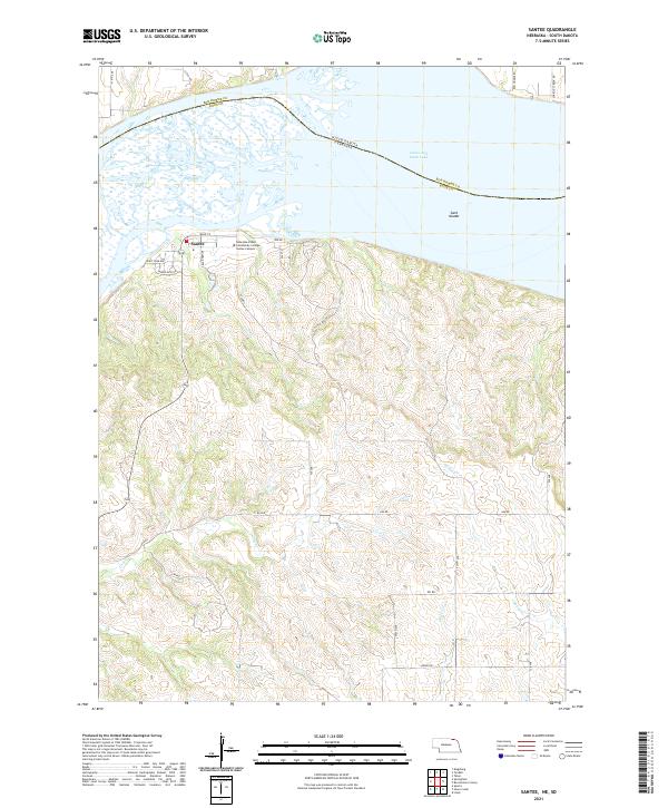
 1978 Santee1978 Print · USGSThe Missouri River borderlands of Nebraska and South Dakota are captured here in the late seventies. Researchers can trace the Santee Indian Res Bdy and locate local landmarks like the Santee Recreation Area, Sand Islands, and several upland cemeteries.
 - 1978 Map of Tyndall, 1979 Print
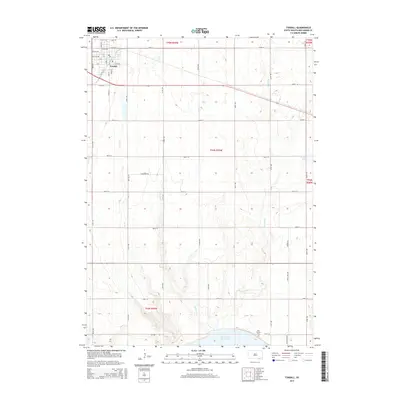
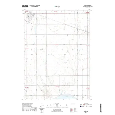
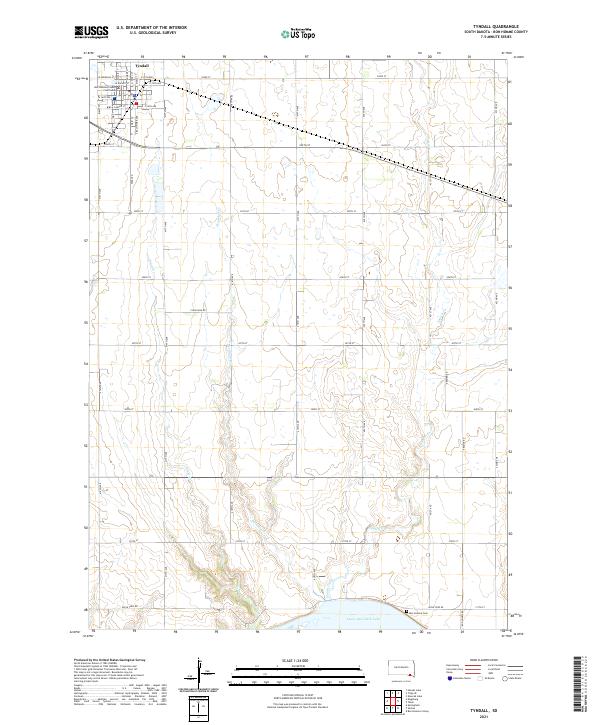
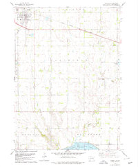 1978 Tyndall1979 Print · USGSTyndall and the surrounding Bon Homme County landscape are captured here during the late 1970s, as the railroad still connected these prairie townships. Researchers can locate vanished rural landmarks like Cottonwood Sch, the Bon Homme Cem, and early industry at the Sandpit.
 - 1978 Map of Kingsburg, 1979 Print
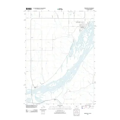
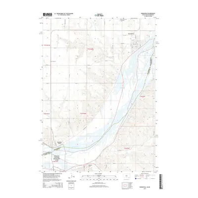
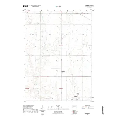
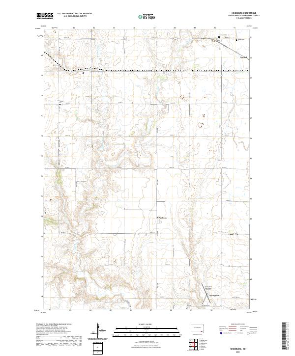
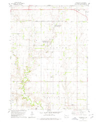 1978 Kingsburg1979 Print · USGSBon Homme County in the late seventies is captured here as a landscape of established townships and winding prairie creeks. Genealogists and local historians can locate Evangelical Cem, the settlement of Kingsburg, and the Albion Sch grounds.
 - 1978 Map of Springfield, 1979 Print
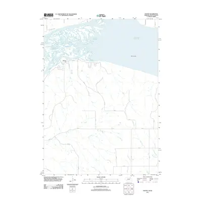
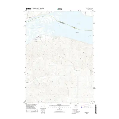
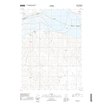
 1978 Springfield1979 Print · USGSThe Missouri River borderlands of South Dakota and Nebraska are captured here in the late seventies. Researchers can trace the layout of Springfield and the University of South Dakota at Springfield, or locate local burial grounds like St Vincents Cem and Emanuel Cem.
 - 1985 Map of Yankton
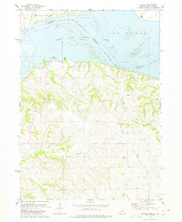
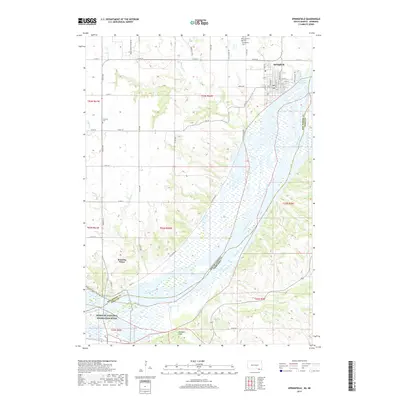
 1985 Yankton1985 Print · USGSThe Missouri River borderlands of South Dakota and Nebraska come alive in this mid-eighties survey, centered on the newly created Lewis and Clark Lake. Researchers can trace the Santee Indian Reservation and locate historic river features like the St Helena Island Chute and Sand Island.2 unique versions available
 - 2011 Map of Santee, 2011 Print
 2011 Santee2011 Print · USGSCovers Springfield Township, including Santee, Little Tabor Township, and other nearby areas
 - 2012 Map of Kingsburg, 2012 Print
 2012 Kingsburg2012 Print · USGSCovers Springfield Township, including Springfield, Tyndall, and other nearby areas
 - 2012 Map of Springfield, 2012 Print
 2012 Springfield2012 Print · USGSCovers Springfield Township, including Springfield, Running Water Township, and other nearby areas
 - 2012 Map of Tyndall, 2012 Print
 2012 Tyndall2012 Print · USGSCovers Springfield Township, including Tyndall, Bon Homme Township, and other nearby areas
 - 2014 Map of Santee, 2014 Print
 2014 Santee2014 Print · USGSCovers Springfield Township, including Santee, Little Tabor Township, and other nearby areas
 - 2015 Map of Springfield, 2015 Print
 2015 Springfield2015 Print · USGSCovers Springfield Township, including Springfield, Running Water Township, and other nearby areas
 - 2015 Map of Tyndall, 2015 Print
 2015 Tyndall2015 Print · USGSCovers Springfield Township, including Tyndall, Bon Homme Township, and other nearby areas
 - 2015 Map of Kingsburg, 2015 Print
 2015 Kingsburg2015 Print · USGSCovers Springfield Township, including Springfield, Tyndall, and other nearby areas
 - 2017 Map of Santee, 2017 Print
 2017 Santee2017 Print · USGSCovers Springfield Township, including Santee, Little Tabor Township, and other nearby areas
 - 2017 Map of Tyndall, 2017 Print
 2017 Tyndall2017 Print · USGSCovers Springfield Township, including Tyndall, Bon Homme Township, and other nearby areas
 - 2017 Map of Kingsburg, 2017 Print
 2017 Kingsburg2017 Print · USGSCovers Springfield Township, including Springfield, Tyndall, and other nearby areas
 - 2017 Map of Springfield, 2017 Print
 2017 Springfield2017 Print · USGSCovers Springfield Township, including Springfield, Running Water Township, and other nearby areas
 - 2021 Map of Springfield, 2021 Print
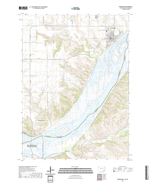 2021 Springfield2021 Print · USGSThe Missouri River borderlands of Bon Homme County are captured here in the early twenty-first century. Genealogists and local researchers can trace the streets of Springfield, locate burial sites like Saint Vincents Cem, and find the riverfront hamlet of Running Water.
 - 2021 Map of Kingsburg, 2021 Print
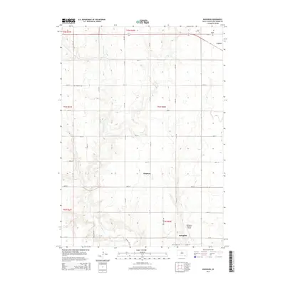
 2021 Kingsburg2021 Print · USGSBon Homme County is shown in this modern era as a grid of prairie townships centered on the settlement of Kingsburg. Family historians can locate several local burial grounds, including Sattler Cem, Evangelical Cem, and Saint Leo Cem.
 - 2021 Map of Santee, 2021 Print
 2021 Santee2021 Print · USGSThe Missouri River shoreline at Santee is captured here in the early twenty-first century, showing the intersection of tribal land and the river's reach. Genealogists and researchers can trace the Santee settlement, the Nebraska Indian Community College Santee Campus, and the shifting Sand Islands.
 - 2021 Map of Tyndall, 2021 Print
 2021 Tyndall2021 Print · USGSThe Bon Homme County seat and the shores of the Missouri River dominate this recent study of the South Dakota plains. Genealogists can trace the surroundings of Tyndall and the Bon Homme County Courthouse down to the Bon Homme Cem near the water.
End of results
Showing maps 1-25 of 25
Top cities near Springfield Township
- Springfield historical maps
- Tyndall historical maps
- Avon historical maps
- Niobrara historical maps
- Santee historical maps
- Sparta historical maps
Top neighborhoods of Springfield Township
Frequently asked questions
- What are the different types of historical maps available for Springfield Township?
- What is the oldest map of Springfield Township?
- Where can I purchase historical maps of Springfield Township for my home or office?
- Where can I download high-res historical maps of Springfield Township?
- Are there historical topographic maps available for Springfield Township?
- Is there historical aerial imagery available for Springfield Township?
- Where are historical maps of Springfield Township sourced from?