Old Maps of Vermillion Township, South Dakota
Explore 26 old maps of Vermillion Township, spanning from 1898 to today. These high-resolution historic maps reveal how streets, neighborhoods, landmarks, and natural features evolved over time — perfect for genealogy, metal detecting, research, and local history exploration.
What you can do with these maps:
- See how Vermillion Township changed over time: Compare historical maps to modern-day views to trace roads, homesites, rail lines & more.
- View detailed metadata: Each map includes creators, publishers, year, scale, and archive source.
- Overlay maps with satellite & LiDAR: Visualize the past alongside modern tools to explore terrain & human change.
- Trusted historical sources: Maps sourced from the USGS, Library of Congress, and other archives.
- Access maps your way: View online, download high-res files, or order prints for personal or research use.
Start exploring old maps of Vermillion Township to uncover forgotten places, hidden landmarks, and the deep history beneath your feet.
Vermillion Township, SD maps
(26)- 1898 Map of Elk Point, 1960 Print
 1898 Elk Point1960 Print · USGSThe tri-state borderlands of South Dakota, Nebraska, and Iowa are captured here in the late nineteenth century as a landscape of ferries and river-fed commerce. Researchers can trace the early foundations of Elk Point and Vermillion or locate vanished crossings like Ionia Ferry and the Ponca Ferry.2 unique versions available
 - 1901 Map of Elk Point
 1901 Elk Point1901 Print · USGSThe tri-state borderlands of South Dakota, Nebraska, and Iowa are captured here at the turn of the century during the peak of the steam rail era. Researchers can trace the original paths of the Chicago Milwaukee and St. Paul Ry. and locate early settlements like Spirit Mound, Newcastle, and Burbank.
 - 1907 Map of Elk Point
 1907 Elk Point1907 Print · USGSThe tri-state borderlands of South Dakota, Nebraska, and Iowa are shown here at the start of the century, centered on the Missouri and Big Sioux river valleys. Researchers can trace the river's old path through oxbows like Mc Cook Lake and locate early river crossings including Vermilion Ferry and Ponca Ferry.6 unique versions available
 - 1955 Map of Sioux City, 1959 Print
 1955 Sioux City1959 Print · USGSThe Missouri River valley in the mid-fifties is captured here during a time of major engineering and social transition. Genealogists and historians can trace the foundations of Gavins Point Dam, tribal boundaries on the Santee Sioux Indian Reservation, and local landmarks like the Norfolk State Hospital.4 unique versions available
 - 1958 Map of Sioux City
 1958 Sioux City1958 Print · USGSThe Missouri River valley in the late fifties was a bustling intersection of tribal lands, rail corridors, and river towns. Genealogists can trace family roots through specific rural sites like Daisy Valley School, St Johns Church and School, and Yankton State Hospital.
 - 1959 Map of Sioux City
 1959 Sioux City1959 Print · USGSThe tri-state region surrounding the Missouri River is captured here in the late fifties, showing the convergence of Nebraska, South Dakota, and Iowa. Researchers can trace rural lineages through numerous country schoolhouses like Cemetery School and the many numbered Washington School districts.
 - 1964 Map of Maskell, 1966 Print
 1964 Maskell1966 Print · USGSNorthern Dixon County and the Missouri River bluffs are captured in the 1960s, showing a landscape of upland farms and river bottomlands. Researchers can trace rural lineages through Maskell, Newcastle, and local burial sites like Maskell Cem.
 - 1968 Map of Meckling, 1971 Print
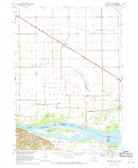 1968 Meckling1971 Print · USGSThe Missouri River bottomlands in the late sixties are anchored by the settlement of Meckling and the prominent Goat Island. Trace local family history through the sites of Bergen Ch, Norway Sch, and multiple country cemeteries.
 - 1969 Map of Vermillion, 1971 Print
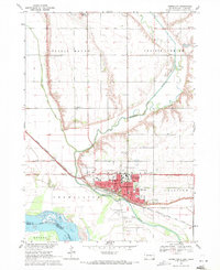 1969 Vermillion1971 Print · USGSThe university campus and Missouri River floodplain meet in this late-sixties portrait of Vermillion. Genealogists and historians can trace local landmarks like Spirit Mound, Bluff View Cemetery, and the University of South Dakota.2 unique versions available
 - 1985 Map of Yankton
 1985 Yankton1985 Print · USGSThe Missouri River borderlands of South Dakota and Nebraska come alive in this mid-eighties survey, centered on the newly created Lewis and Clark Lake. Researchers can trace the Santee Indian Reservation and locate historic river features like the St Helena Island Chute and Sand Island.2 unique versions available
 - 1986 Map of Sioux City North
 1986 Sioux City North1986 Print · USGSThe tri-state borderlands of Iowa, South Dakota, and Nebraska are captured here in the mid-eighties as the region's agricultural and academic centers thrived. Researchers can trace historic rail lines like the Illinois Central Gulf and locate landmarks from Briar Cliff College to the heights of Spirit Mound.2 unique versions available
 - 1994 Map of Maskell, 1995 Print
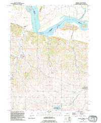 1994 Maskell1995 Print · USGSDixon County and the Missouri River bluffs are documented here during the mid-nineties, showing the rural landscape before modern development. Researchers can locate early burial sites at Maskell Cem and trace the paths of Turkey Creek and North Aowa Creek.
 - 1994 Map of Vermillion, 1995 Print
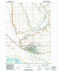 1994 Vermillion1995 Print · USGSVermillion and the surrounding Missouri River bottomlands are shown in great detail in the mid-nineties. Local historians can trace the development of the University of South Dakota campus, the Dakotadome, and family sites like Bluff View Cemetery.
 - 1994 Map of Meckling, 1995 Print
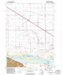 1994 Meckling1995 Print · USGSThe South Dakota and Nebraska borderlands come into focus in the 1990s as the Missouri River winds past Meckling. Genealogists can trace local roots at Bergen Ch or search for family sites at Evergreen Cem and Taylor Cem.
 - 2011 Map of Maskell, 2011 Print
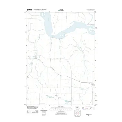 2011 Maskell2011 Print · USGSDixon County's rural character remains on full display in the early twenty-first century as the winding Missouri River forms its northern boundary. Genealogists and local historians can trace the foundations of Maskell, including the Maskell Cemetery and Maskell Post Office.
 - 2012 Map of Meckling, 2012 Print
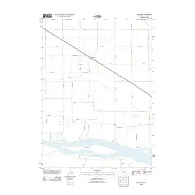 2012 Meckling2012 Print · USGSMeckling and the fertile bottoms of the Missouri River valley are captured here in the early twenty-first century. Genealogists and local historians can locate family plots at Meckling Cem and Taylor Cem or trace the river shoreline near Goat Island.
 - 2012 Map of Vermillion, 2012 Print
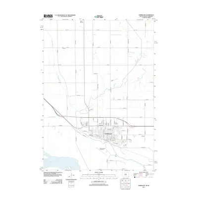 2012 Vermillion2012 Print · USGSThe university city of Vermillion is captured here in the early twenty-first century as it sits between the Missouri and Vermillion Rivers. Researchers can trace the layout of the University of South Dakota and locate landmarks like Spirit Mound and Bluff View Cem.
 - 2014 Map of Maskell, 2014 Print
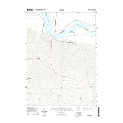 2014 Maskell2014 Print · USGSNorthern Nebraska and the South Dakota borderlands are captured here during the mid-2010s, centered on the Missouri riverfront. Researchers can trace local heritage through the Maskell Cem and Lime Creek Cem or locate the settlements of Maskell and Newcastle.
 - 2015 Map of Meckling, 2015 Print
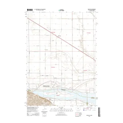 2015 Meckling2015 Print · USGSThe Missouri River bottomlands in Clay County appear here in detail during the mid-2010s. Researchers can trace family history at Taylor Cem or Evergreen Cem and explore the shifting banks around Goat Island.
 - 2015 Map of Vermillion, 2015 Print
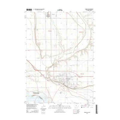 2015 Vermillion2015 Print · USGSVermillion and the Missouri River valley are captured in this mid-2010s survey as the city expands around the University of S Dakota. Researchers can trace local burial sites at Clay Creek Cem or locate landmarks like Spirit Mound and Harold Davidson Field.
 - 2017 Map of Maskell, 2017 Print
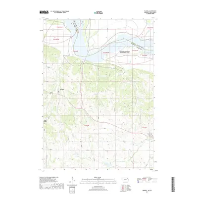 2017 Maskell2017 Print · USGSDixon County, Nebraska, and Clay County, South Dakota, meet along the winding Missouri River in this recent topographic survey. Researchers can trace rural lineages through sites like Maskell Cem or locate the small communities of Maskell, Newcastle, and Lime Grove.
 - 2017 Map of Meckling, 2017 Print
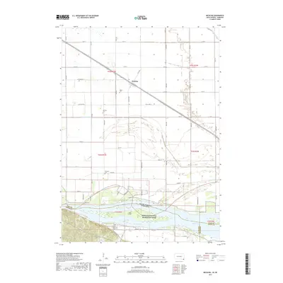 2017 Meckling2017 Print · USGSMeckling and the surrounding Clay County bottomlands are shown in the late 2010s, where the railroad and Missouri River shape the landscape. Local historians can trace family roots at Meckling Cem, Taylor Cem, and Evergreen Cem, or explore the riparian geography of Goat Island.
 - 2017 Map of Vermillion, 2017 Print
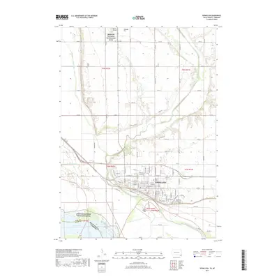 2017 Vermillion2017 Print · USGSVermillion and the Missouri River valley are captured here in the late twenty-teens, showing the city's relationship with the surrounding plains. Researchers can locate the Univ of South Dakota campus and landmark sites like Spirit Mound and Clay Creek Cem.
 - 2021 Map of Maskell, 2021 Print
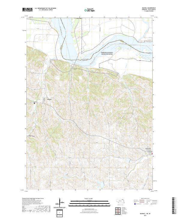 2021 Maskell2021 Print · USGSDixon County, Nebraska, and the border with South Dakota are shown here in the modern era as the Missouri River winds past rural bluffs. Genealogists and local historians can trace the roads around Maskell, find the Maskell Cemetery, and locate the community of Lime Grove.
 - 2021 Map of Vermillion, 2021 Print
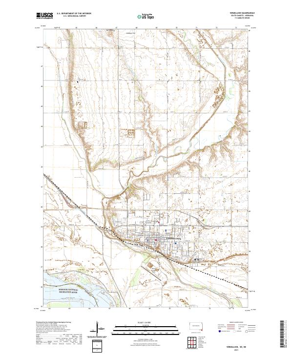 2021 Vermillion2021 Print · USGSThe riverfront city of Vermillion and its university campus are documented here in the early twenty-first century as the city meets the Missouri River. Researchers can trace local landmarks like the Clay County Courthouse, Spirit Mound, and the historic Clay Creek Cem.
Showing maps 1-25 of 26
Top cities near Vermillion Township
- Vermillion historical maps
- Gayville historical maps
- Emmet historical maps
- Spink historical maps
- Newcastle historical maps
- Meckling historical maps
See more
Top neighborhoods of Vermillion Township
Frequently asked questions
- What are the different types of historical maps available for Vermillion Township?
- What is the oldest map of Vermillion Township?
- Where can I purchase historical maps of Vermillion Township for my home or office?
- Where can I download high-res historical maps of Vermillion Township?
- Are there historical topographic maps available for Vermillion Township?
- Is there historical aerial imagery available for Vermillion Township?
- Where are historical maps of Vermillion Township sourced from?