Old Maps of Argyle, South Dakota
Explore 10 old maps of Argyle, spanning from 1896 to today. These high-resolution historic maps reveal how streets, neighborhoods, landmarks, and natural features evolved over time — perfect for genealogy, metal detecting, research, and local history exploration.
What you can do with these maps:
- See how Argyle changed over time: Compare historical maps to modern-day views to trace roads, homesites, rail lines & more.
- View detailed metadata: Each map includes creators, publishers, year, scale, and archive source.
- Overlay maps with satellite & LiDAR: Visualize the past alongside modern tools to explore terrain & human change.
- Trusted historical sources: Maps sourced from the USGS, Library of Congress, and other archives.
- Access maps your way: View online, download high-res files, or order prints for personal or research use.
Start exploring old maps of Argyle to uncover forgotten places, hidden landmarks, and the deep history beneath your feet.
Argyle, SD maps
(10)- 1896 Map of Harney Peak
 1896 Harney Peak1896 Print · USGSThe Black Hills were at the height of their early development in the 1890s as railroads and mining settlements reshaped the mountains. Genealogists and historians can trace the early tracks of the Burlington and Missouri River and locate the original town sites of Hill City, Custer, and Pringle.
 - 1901 Map of Harney Peak
 1901 Harney Peak1901 Print · USGSThe Black Hills at the dawn of the twentieth century was a hub of hard-rock mining and frontier ranching. Genealogists and historians can trace dozens of family-named homesteads like Hawks Ranch alongside significant early mines such as the Storm Hill Mine and Grizzly Bear Mine.4 unique versions available
 - 1955 Map of Argyle, 1956 Print
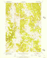 1955 Argyle1956 Print · USGSCuster County ranching and forestry are captured in this mid-century survey of the Black Hills just as remote school districts were shifting. Genealogists and historians can locate family holdings like Stringham Ranch and Waisnan Ranch or trace the Chicago Burlington and Quincy rail line.5 unique versions available
 - 1955 Map of Hot Springs, 1958 Print
 1955 Hot Springs1958 Print · USGSThe Black Hills and South Dakota badlands are captured here in the mid-fifties, during a peak of military and industrial activity. Researchers can locate the Black Hills Ordnance Depot, early Uranium Mines, and historic rail stops like Pringle or Oglala.5 unique versions available
 - 1956 Map of Pringle, 1958 Print
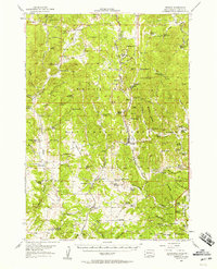 1956 Pringle1958 Print · USGSMid-century Custer County ranching and mining life is documented here just as the local rural school system began to consolidate. Genealogists and historians can trace family properties like McCurran Ranch or locate the historic State Sanatorium and Tin Mountain Mine.
 - 1977 Map of Mount Rushmore, 1978 Print
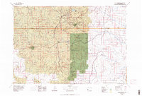 1977 Mount Rushmore1978 Print · USGSThe Black Hills landscape of the late 1970s is shown here at a moment when historic mining and modern tourism converged. Genealogists and researchers can trace the rail lines of the Burlington Northern and find sites like Spokane Mine or the town of Pringle.2 unique versions available
 - 2012 Map of Argyle, 2012 Print
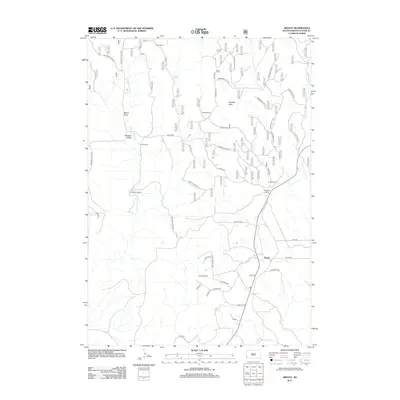 2012 Argyle2012 Print · USGSCuster County ranching country and the settlement of Argyle are captured here during the early twenty-first century. Researchers can trace the footprints of family land holdings like Carter Ranch and Richmond Ranch or the rail-related geography of Loring Siding.
 - 2015 Map of Argyle, 2015 Print
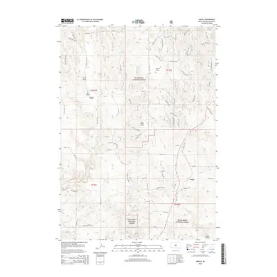 2015 Argyle2015 Print · USGSCuster County, South Dakota, is shown here in the mid-2010s, where the forested hills meet the open canyon systems. Researchers can trace the path of the Mickelson Trl near the settlement of Argyle and locate landmarks like Hopkins Flats.
 - 2017 Map of Argyle, 2017 Print
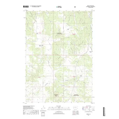 2017 Argyle2017 Print · USGSCuster County highlands and the forest communities around Argyle are captured here in the late twenty-tens. Researchers can trace the drainage of Pleasant Valley Creek and locate family landmarks at Hopkins Flats or Callan Spring.
 - 2021 Map of Argyle, 2021 Print
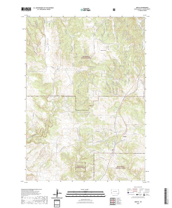 2021 Argyle2021 Print · USGSArgyle and the surrounding Black Hills highlands are captured here in the early twenty-first century. Researchers can trace land use patterns across Hopkins Flats and locate remote landmarks like Dallan Spring and the steep walls of Red Canyon.
End of results
Showing maps 1-10 of 10
Top cities near Argyle
Frequently asked questions
- What are the different types of historical maps available for Argyle?
- What is the oldest map of Argyle?
- Where can I purchase historical maps of Argyle for my home or office?
- Where can I download high-res historical maps of Argyle?
- Are there historical topographic maps available for Argyle?
- Is there historical aerial imagery available for Argyle?
- Where are historical maps of Argyle sourced from?