Old Maps of Fourmile, South Dakota for Metal Detecting
Plan your next treasure hunt with 10 historic maps of Fourmile. Find old homesites, ghost towns, trails, and gathering spots that may be lost to time — perfect for identifying promising metal detecting locations.
- Locate forgotten sites: Uncover places like long-lost settlements, abandoned rail lines, or gathering spots.
- Plan better hunts: Use map overlays combined with LiDAR or satellite views to narrow in on historically rich areas.
- Made for detectorists: Thousands of hobbyists use these maps to discover relics, coins, and hidden history.
Use these historic maps to boost your research and find new opportunities beneath the surface of Fourmile.
Fourmile, SD maps
(10)- 1896 Map of Harney Peak
 1896 Harney Peak1896 Print · USGSThe Black Hills were at the height of their early development in the 1890s as railroads and mining settlements reshaped the mountains. Genealogists and historians can trace the early tracks of the Burlington and Missouri River and locate the original town sites of Hill City, Custer, and Pringle.
 - 1901 Map of Harney Peak
 1901 Harney Peak1901 Print · USGSThe Black Hills at the dawn of the twentieth century was a hub of hard-rock mining and frontier ranching. Genealogists and historians can trace dozens of family-named homesteads like Hawks Ranch alongside significant early mines such as the Storm Hill Mine and Grizzly Bear Mine.4 unique versions available
 - 1954 Map of Fourmile, 1955 Print
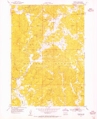 1954 Fourmile1955 Print · USGSThe Black Hills during the mid-fifties reveal a landscape shaped by active mining and rural education. Genealogists and historians can locate remote schoolhouses like Sevenmile Sch and trace numerous mineral sites including the Tin Mountain Mine and Tiptop Mine.4 unique versions available
 - 1955 Map of Hot Springs, 1958 Print
 1955 Hot Springs1958 Print · USGSThe Black Hills and South Dakota badlands are captured here in the mid-fifties, during a peak of military and industrial activity. Researchers can locate the Black Hills Ordnance Depot, early Uranium Mines, and historic rail stops like Pringle or Oglala.5 unique versions available
 - 1956 Map of Pringle, 1958 Print
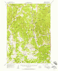 1956 Pringle1958 Print · USGSMid-century Custer County ranching and mining life is documented here just as the local rural school system began to consolidate. Genealogists and historians can trace family properties like McCurran Ranch or locate the historic State Sanatorium and Tin Mountain Mine.
 - 1977 Map of Mount Rushmore, 1978 Print
 1977 Mount Rushmore1978 Print · USGSThe Black Hills landscape of the late 1970s is shown here at a moment when historic mining and modern tourism converged. Genealogists and researchers can trace the rail lines of the Burlington Northern and find sites like Spokane Mine or the town of Pringle.2 unique versions available
 - 2012 Map of Fourmile, 2012 Print
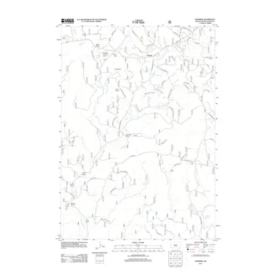 2012 Fourmile2012 Print · USGSCovers Fourmile, including Custer County, United States, and other nearby areas
 - 2015 Map of Fourmile, 2015 Print
 2015 Fourmile2015 Print · USGSCovers Fourmile, including Custer County, United States, and other nearby areas
 - 2017 Map of Fourmile, 2017 Print
 2017 Fourmile2017 Print · USGSCovers Fourmile, including Custer County, United States, and other nearby areas
 - 2021 Map of Fourmile, 2021 Print
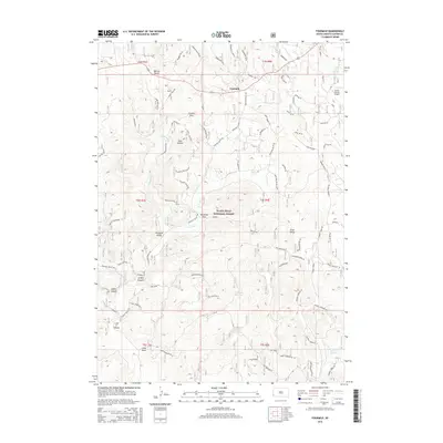
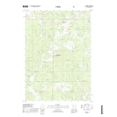
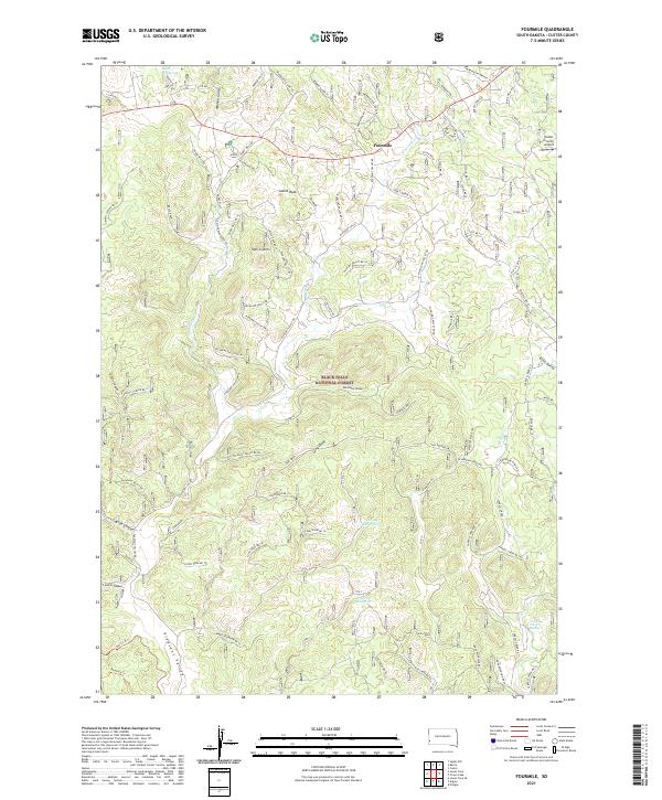 2021 Fourmile2021 Print · USGSCuster County, South Dakota, reveals a landscape of national forest management and remote settlements in this recent survey. Researchers can trace the rugged drainage of Ninemile Draw and locate specific local landmarks like Castle Rock and the Custer County Airport.
End of results
Showing maps 1-10 of 10
Top cities near Fourmile
Frequently asked questions
- What are the different types of historical maps available for Fourmile?
- What is the oldest map of Fourmile?
- Where can I purchase historical maps of Fourmile for my home or office?
- Where can I download high-res historical maps of Fourmile?
- Are there historical topographic maps available for Fourmile?
- Is there historical aerial imagery available for Fourmile?
- Where are historical maps of Fourmile sourced from?