2020s Maps of Tobin Township, South Dakota
Explore 4 historic maps of Tobin Township from the 2020s. These maps offer a rare glimpse into what life looked like during the 2020s — showing old roads, neighborhoods, homes, and landmarks that have changed or disappeared over time.
Whether you're researching your family's past, planning a metal detecting trip, or studying how Tobin Township's landscape evolved across the 2020s, these high-resolution maps are a powerful tool for exploring the history of this region.
- Focus on a specific era: All maps on this page are from the 2020s, giving you a focused view of this time period.
- See what’s changed: Compare century-old streets, trails, and buildings to today's modern landscape using overlays and satellite layers.
- Research with precision: Use these maps for genealogy, historical research, land use analysis, or educational projects.
- View, download, or print: Maps are fully viewable online in high resolution, and can be downloaded or printed for your own records.
Start exploring Tobin Township's history through authentic maps from the 2020s. This is your window into the past.
Tobin Township, SD maps
(4)- 2021 Map of Delmont NE, 2021 Print
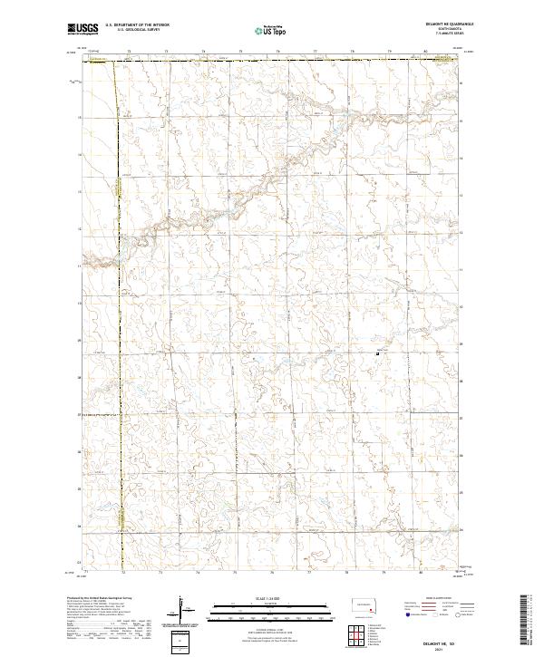 2021 Delmont NE2021 Print · USGSHutchinson County at the start of the 2020s remains a landscape of traditional section-line homesteads and prairie waterways. Genealogists and local historians can locate the Miller Cem or trace the meandering forks of S Fork Twelvemile Cr and Coffee Creek.
 - 2021 Map of Hillside, 2021 Print
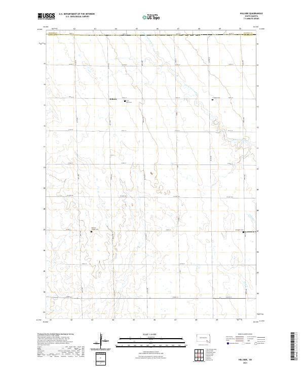 2021 Hillside2021 Print · USGSDouglas County farming life is captured here in the early twenty-first century as it centers on the community of Hillside. Researchers can locate family heritage sites at Saint John Cemetery and trace the drainage of S Fork Twelvemile Creek.
 - 2021 Map of Mitchell SW, 2021 Print
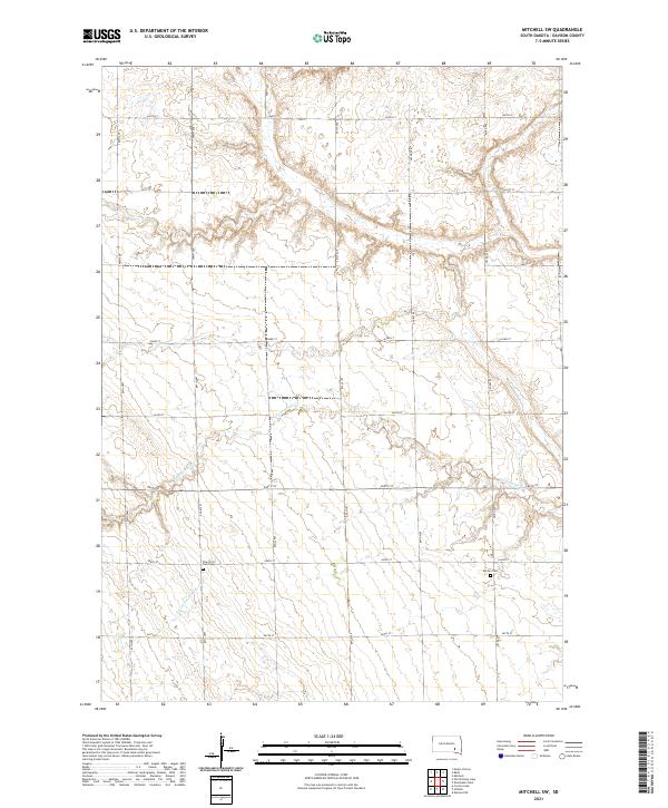 2021 Mitchell SW2021 Print · USGSDavison County agriculture and drainage are documented here in the early twenty-first century. Genealogists and local historians can locate rural burial sites such as the Church of God Cemetery and Emsley Cemetery along the banks of Twelvemile Creek.
 - 2021 Map of Shoemaker Dam, 2021 Print
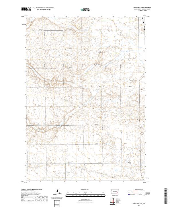 2021 Shoemaker Dam2021 Print · USGSDavison County is depicted here in the early 2020s, showing a rural landscape defined by prairie wetlands and a precise section-line road grid. Researchers can locate New Home Lutheran Cem and trace the course of Twelvemile Cr toward the Shoemaker Dam.
End of results
Showing maps 1-4 of 4
Top cities near Tobin Township
- Mitchell historical maps
- Parkston historical maps
- Armour historical maps
- Mount Vernon historical maps
- Ethan historical maps
- Dimock historical maps
Frequently asked questions
- What are the different types of historical maps available for Tobin Township?
- What is the oldest map of Tobin Township?
- Where can I purchase historical maps of Tobin Township for my home or office?
- Where can I download high-res historical maps of Tobin Township?
- Are there historical topographic maps available for Tobin Township?
- Is there historical aerial imagery available for Tobin Township?
- Where are historical maps of Tobin Township sourced from?