Old Maps of Holmquist, South Dakota for Metal Detecting
Plan your next treasure hunt with 8 historic maps of Holmquist. Find old homesites, ghost towns, trails, and gathering spots that may be lost to time — perfect for identifying promising metal detecting locations.
- Locate forgotten sites: Uncover places like long-lost settlements, abandoned rail lines, or gathering spots.
- Plan better hunts: Use map overlays combined with LiDAR or satellite views to narrow in on historically rich areas.
- Made for detectorists: Thousands of hobbyists use these maps to discover relics, coins, and hidden history.
Use these historic maps to boost your research and find new opportunities beneath the surface of Holmquist.
Holmquist, SD maps
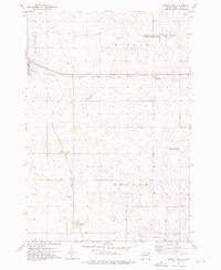
(8)- 1953 Map of Milbank, 1958 Print
 1953 Milbank1958 Print · USGSThe tri-state border region of South Dakota, North Dakota, and Minnesota is shown here during the early fifties, a landscape defined by glacial lakes and the Sisseton Indian Reservation. Researchers can trace the legacy of the western railroads, locating old stops along the Great Northern and settlements like Milbank, Webster, and Sisseton.3 unique versions available
 - 1958 Map of Milbank
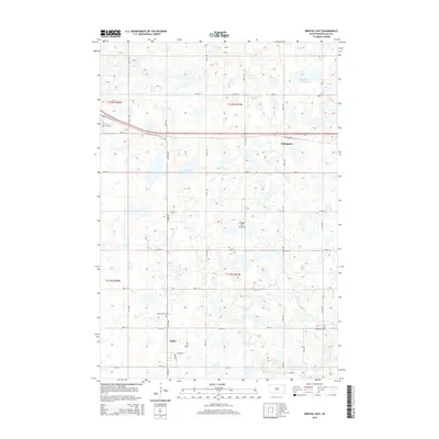
 1958 Milbank1958 Print · USGSThe northern Great Plains in the late fifties show a landscape of glacial lakes and reservation lands shaped by the Great Northern railroad. Genealogists and local historians can trace the grid of settlements from Britton to Milbank and locate landmarks like Enemy Swim Lake and the Sisseton Indian Reservation.
 - 1973 Map of Bristol East, 1976 Print
 1973 Bristol East1976 Print · USGSDay County prairie life in the early seventies centered on the rail stops and wetland basins of eastern South Dakota. Genealogists and local historians can locate small-town sites like Bristol and Butler or trace family roots at Prairie Mound Cem and Ebenezer Cem.
 - 1985 Map of Webster
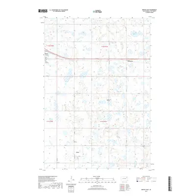
 1985 Webster1985 Print · USGSNortheastern South Dakota in the mid-eighties reveals a landscape of prairie potholes and rail-line towns centered on the Webster region. Genealogists and historians can trace rail-town development along the Burlington Northern and find early conservation boundaries like the Waubay National Wildlife Refuge.2 unique versions available
 - 2012 Map of Bristol East, 2012 Print
 2012 Bristol East2012 Print · USGSCovers Holmquist, including Bristol, Butler, and other nearby areas
 - 2015 Map of Bristol East, 2015 Print
 2015 Bristol East2015 Print · USGSCovers Holmquist, including Bristol, Butler, and other nearby areas
 - 2017 Map of Bristol East, 2017 Print
 2017 Bristol East2017 Print · USGSCovers Holmquist, including Bristol, Butler, and other nearby areas
 - 2021 Map of Bristol East, 2021 Print
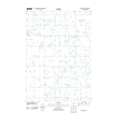
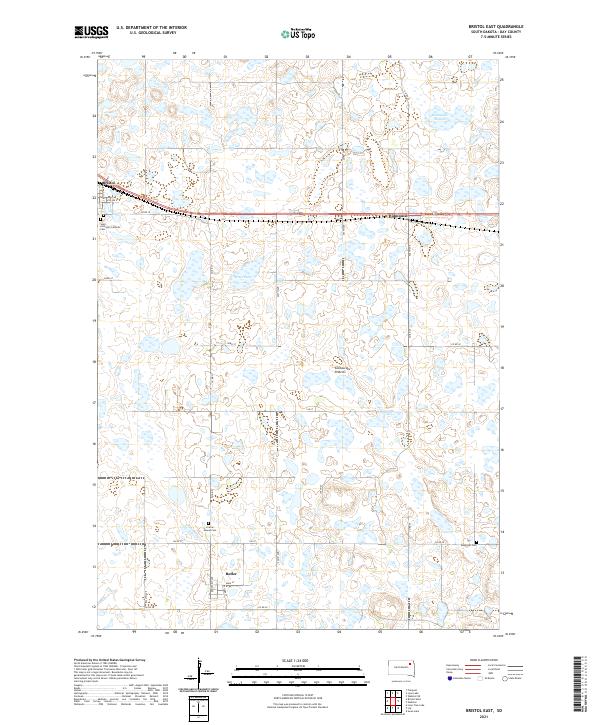 2021 Bristol East2021 Print · USGSThe glacial plateau of Day County is shown here in the 2020s, featuring a landscape dotted with wetlands. Researchers can trace local history through Bristol, Butler, and several sites like Prairie Mound Cem and Ebenezer Cem.
End of results
Showing maps 1-8 of 8
Top cities near Holmquist
- Webster historical maps
- Bristol historical maps
- Roslyn historical maps
- Pierpont historical maps
- Lily historical maps
- Butler historical maps
Frequently asked questions
- What are the different types of historical maps available for Holmquist?
- What is the oldest map of Holmquist?
- Where can I purchase historical maps of Holmquist for my home or office?
- Where can I download high-res historical maps of Holmquist?
- Are there historical topographic maps available for Holmquist?
- Is there historical aerial imagery available for Holmquist?
- Where are historical maps of Holmquist sourced from?