Old Maps of Lucas, South Dakota for Hiking & Exploration
Hike through history with 9 historic maps of Lucas. Explore old trails, ghost towns, and forgotten backroads — perfect for outdoor adventurers and local explorers.
- Rediscover forgotten places: Map out old mining camps, roads, and footpaths that no longer exist on modern maps.
- Layer with modern tools: Combine with LiDAR or satellite views to plan hikes through historical terrain.
- Made for exploration: Popular among hikers, overlanders, and local history lovers.
Use these maps to find adventure and explore the hidden past of Lucas.
Lucas, SD maps
(9)- 1955 Map of Mitchell, 1973 Print
 1955 Mitchell1973 Print · USGSThe Missouri River valley undergoes a massive transformation in the mid-1950s as the Fort Randall Dam creates Lake Francis Case. You can trace the rail lines of the Chicago Milwaukee St Paul and Pacific through Mitchell or locate local landmarks like Butler Town Hall.2 unique versions available
 - 1959 Map of Mitchell
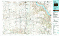
 1959 Mitchell1959 Print · USGSSouth Dakota’s river and rail corridors come alive in the late fifties as the Missouri River valley undergoes dramatic change. Genealogists and historians can trace family roots through numerous small towns and schools such as Academy, Stickney, and Gregory.2 unique versions available
 - 1971 Map of Lucas, 1974 Print
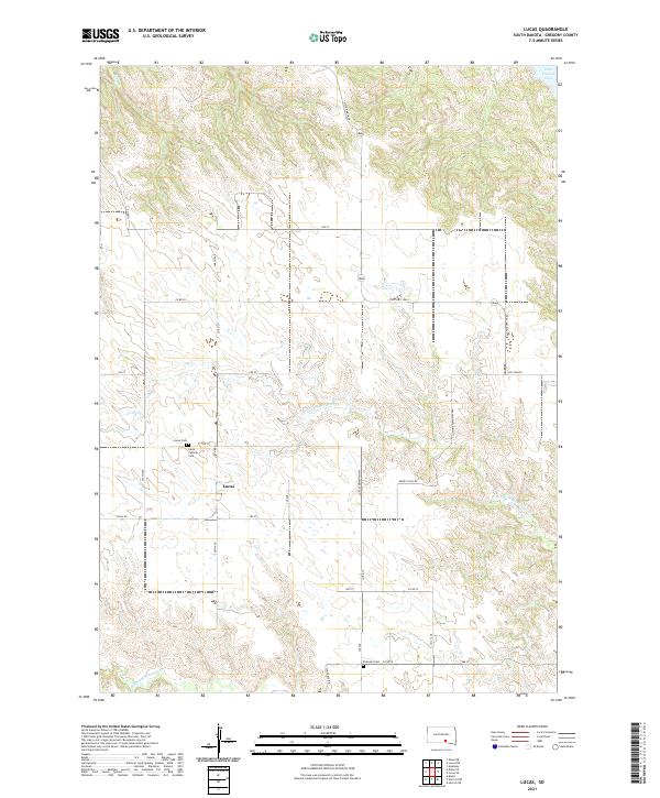
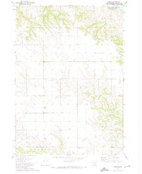 1971 Lucas1974 Print · USGSGregory County was undergoing significant hydrological change in the early 1970s as the Missouri River valley transitioned into a managed reservoir system. Researchers can trace the layout of Lucas, find local burials at Lucas Cem, and see the original drainage of North Fork Whetstone Creek.2 unique versions available
 - 1986 Map of Winner
 1986 Winner1986 Print · USGSTripp and Gregory Counties are captured in the mid-eighties as the agricultural heartland centered on the Chicago and North Western line. Genealogists can trace family footprints near St Charles, Paxton, and Winner, or explore the shoreline of Lake Francis Case.2 unique versions available
 - 1990 Map of Mitchell, 1991 Print
 1990 Mitchell1991 Print · USGSThe Missouri River and the surrounding South Dakota plains are captured here in the early nineties, showing a landscape shaped by water and wire. Genealogists and historians can trace the gridded townships from Mitchell to the Bijou Hills, locating sites like the Platte Colony and Academy.
 - 2012 Map of Lucas, 2012 Print
 2012 Lucas2012 Print · USGSCovers Lucas, including Milk's Camp Segment, Gregory County, and other nearby areas
 - 2015 Map of Lucas, 2015 Print
 2015 Lucas2015 Print · USGSCovers Lucas, including Milk's Camp Segment, Gregory County, and other nearby areas
 - 2017 Map of Lucas, 2017 Print
 2017 Lucas2017 Print · USGSCovers Lucas, including Milk's Camp Segment, Gregory County, and other nearby areas
 - 2021 Map of Lucas, 2021 Print
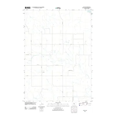
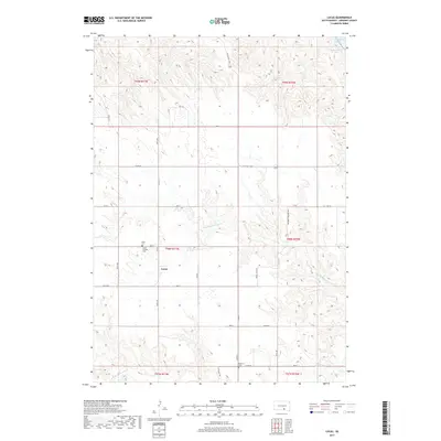
 2021 Lucas2021 Print · USGSThe Gregory County prairie surrounding Lucas is captured in this recent survey of south-central South Dakota. Genealogists and local historians can trace burial sites at Lucas Catholic Cem and Petersen Cem near the headwaters of Rush Cr.
End of results
Showing maps 1-9 of 9
Top cities near Lucas
Frequently asked questions
- What are the different types of historical maps available for Lucas?
- What is the oldest map of Lucas?
- Where can I purchase historical maps of Lucas for my home or office?
- Where can I download high-res historical maps of Lucas?
- Are there historical topographic maps available for Lucas?
- Is there historical aerial imagery available for Lucas?
- Where are historical maps of Lucas sourced from?