Old Maps of Danforth, South Dakota for Genealogy
Trace your family roots with 9 historic maps of Danforth. These high-res maps reveal old neighborhoods, homesites, landmarks, and streets — helping you uncover where your ancestors lived and how the area evolved over time.
- Explore historic neighborhoods: Identify where your relatives may have lived in the 1800s or 1900s.
- Compare maps over time: Trace the changes in streets, buildings, and landmarks for multi-generational research.
- Perfect for genealogy & ancestry research: Used by family historians and researchers to map out lineage and migration.
These maps are an incredible resource for exploring your personal connection to Danforth's past.
Danforth, SD maps
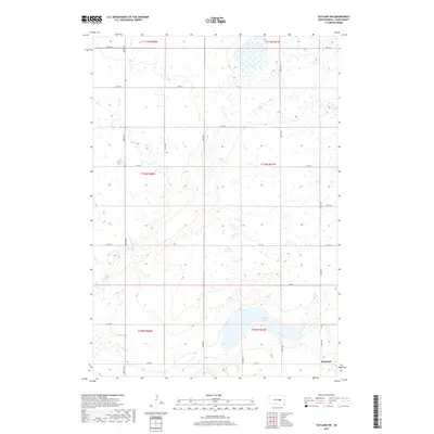
(9)- 1949 Map of Vayland SW, 1976 Print
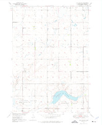 1949 Vayland SW1976 Print · USGSHand County prairie life is documented here during the late 1940s, showing a landscape defined by township grids and rural school districts. Researchers can pinpoint several local landmarks like Spring Lake, Pleasant Valley Ch, and Horseshoe Bend Sch.
 - 1951 Map of Vayland SW
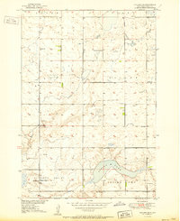 1951 Vayland SW1951 Print · USGSMid-century Hand County is documented here during the Missouri River Basin development program. Researchers can trace the density of rural settlement through numerous country schools like McCool Sch and Keck Sch, as well as landmarks like Spring Lake.2 unique versions available
 - 1953 Map of Huron, 1959 Print
 1953 Huron1959 Print · USGSCentral South Dakota comes alive in the mid-1950s as a thriving rail and agricultural corridor between the Missouri and James Rivers. Trace the legacy of family farms and prairie towns like Huron, Faulkton, and Wessington Springs along the historic Chicago and North Western rail lines.3 unique versions available
 - 1954 Map of Huron, 1977 Print
 1954 Huron1977 Print · USGSCentral South Dakota was a landscape of grain elevators and river bends during the mid-fifties. Genealogists and historians can trace the development of the James River valley through railroad towns like Redfield and the sprawling Crow Creek Indian Reservation.
 - 1985 Map of Huron, 1986 Print
 1985 Huron1986 Print · USGSThe James River valley and the city of Huron come into focus during the mid-eighties as centers of rail and prairie commerce. Genealogists and historians can trace communal sites like Riverside Colony and established rail towns from Wolsey to Woonsocket.2 unique versions available
 - 2012 Map of Vayland SW, 2012 Print
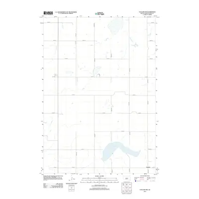 2012 Vayland SW2012 Print · USGSCovers Danforth, including Hand County, United States, and other nearby areas
 - 2015 Map of Vayland SW, 2015 Print
 2015 Vayland SW2015 Print · USGSCovers Danforth, including Hand County, United States, and other nearby areas
 - 2017 Map of Vayland SW, 2017 Print
 2017 Vayland SW2017 Print · USGSCovers Danforth, including Hand County, United States, and other nearby areas
 - 2021 Map of Vayland SW, 2021 Print
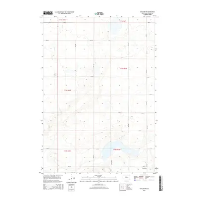
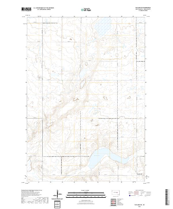 2021 Vayland SW2021 Print · USGSHand County's agricultural heartland is documented here in the early twenty-first century, showing a landscape shaped by prairie hydrology and section-line roads. Trace the small settlement of Danforth and the waters of Spring Lake or Turtle Cr.
End of results
Showing maps 1-9 of 9
Top cities near Danforth
Frequently asked questions
- What are the different types of historical maps available for Danforth?
- What is the oldest map of Danforth?
- Where can I purchase historical maps of Danforth for my home or office?
- Where can I download high-res historical maps of Danforth?
- Are there historical topographic maps available for Danforth?
- Is there historical aerial imagery available for Danforth?
- Where are historical maps of Danforth sourced from?