2020s Maps of Jerauld County, South Dakota
Explore 18 historic maps of Jerauld County from the 2020s. These maps offer a rare glimpse into what life looked like during the 2020s — showing old roads, neighborhoods, homes, and landmarks that have changed or disappeared over time.
Whether you're researching your family's past, planning a metal detecting trip, or studying how Jerauld County's landscape evolved across the 2020s, these high-resolution maps are a powerful tool for exploring the history of this region.
- Focus on a specific era: All maps on this page are from the 2020s, giving you a focused view of this time period.
- See what’s changed: Compare century-old streets, trails, and buildings to today's modern landscape using overlays and satellite layers.
- Research with precision: Use these maps for genealogy, historical research, land use analysis, or educational projects.
- View, download, or print: Maps are fully viewable online in high resolution, and can be downloaded or printed for your own records.
Start exploring Jerauld County's history through authentic maps from the 2020s. This is your window into the past.
Jerauld County, SD maps
(18)- 2021 Map of Lyonville, 2021 Print
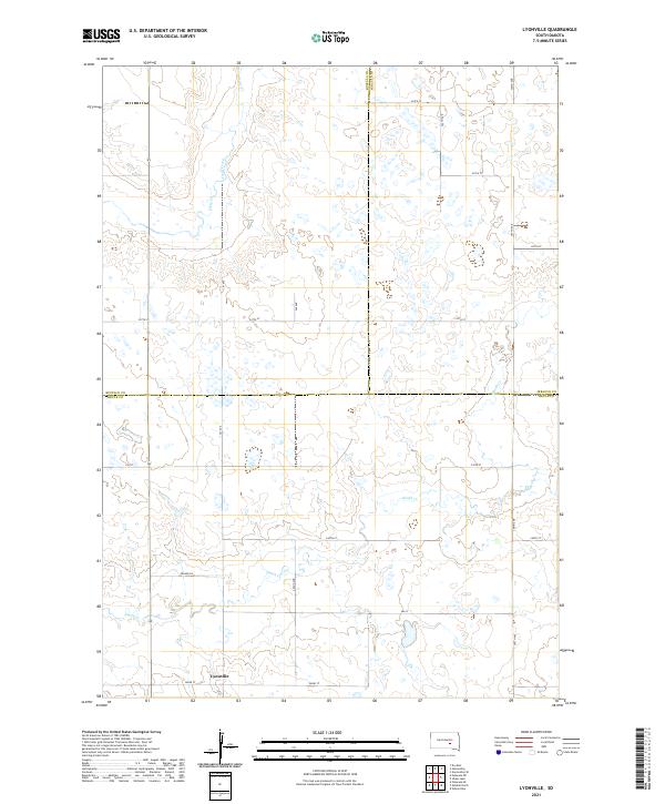 2021 Lyonville2021 Print · USGSBrule County in the early twenty-first century remains a landscape of open prairie and essential township roads. Researchers can trace the quiet settlement of Lyonville and the drainage patterns of Smith Cr and Crow Cr as they cross county lines.
 - 2021 Map of Fraser Dam, 2021 Print
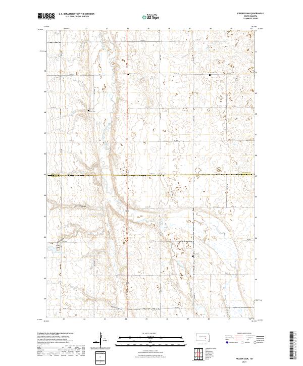 2021 Fraser Dam2021 Print · USGSSouth Dakota's prairie landscape is captured here in the early twenty-first century, showing the enduring agricultural grid across the Jerauld and Aurora county line. Trace family roots at Union Cem or Solberg Cem and locate landmarks like Fraser Dam.
 - 2021 Map of Crow Lake, 2021 Print
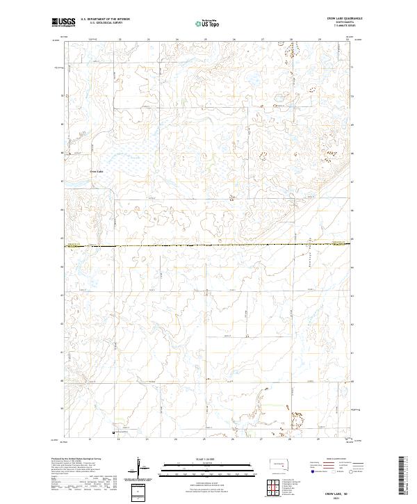 2021 Crow Lake2021 Print · USGSThe South Dakota prairie comes into focus at the dawn of the 2020s, revealing a landscape of managed section lines and vital water sources. Researchers can locate Underwood Cem and trace the drainage of Crow Lake into the East Fork Smith Creek.
 - 2021 Map of Hoagland Lake, 2021 Print
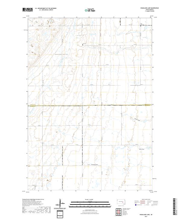 2021 Hoagland Lake2021 Print · USGSCrossing the Jerauld and Aurora county line in the early twenty-first century, this map documents a section of the South Dakota plains defined by its family-named landmarks. Researchers can trace land ties at Union Cem, Viola Valley Cem, and water features like Fraser Dam.
 - 2021 Map of Twin Lakes, 2021 Print
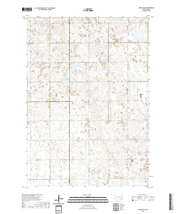 2021 Twin Lakes2021 Print · USGSThe prairie landscape at the junction of Sanborn, Jerauld, and Aurora counties is meticulously documented in this recent survey. Local historians can trace the hydrology of Twin Lakes and Grass Lake alongside rural routes like Co Rd 7.
 - 2021 Map of Mittelstedt Slough, 2021 Print
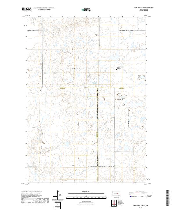 2021 Mittelstedt Slough2021 Print · USGSThe South Dakota prairie at the intersection of four counties reveals a landscape of isolated homesteads and significant glacial wetlands. Genealogists and local historians can locate Ebenezer Baptist Cem and trace the drainage of Mittelstedt Slough and Crow Cr.
 - 2021 Map of Woonsocket, 2021 Print
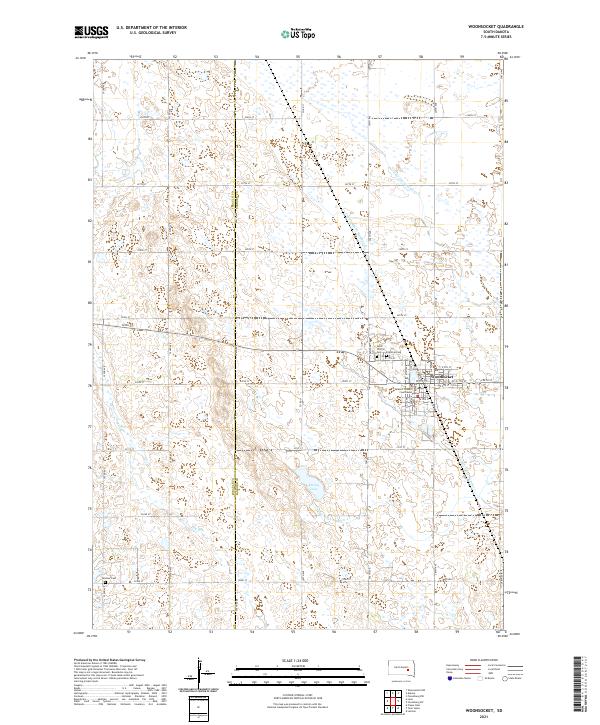 2021 Woonsocket2021 Print · USGSThe town of Woonsocket and its surrounding agricultural plains are meticulously documented in this recent survey. Researchers can trace local history through the Sanborn County Courthouse and burial sites like Saint Wilfrid Cem and Feistner Cem.
 - 2021 Map of Wessington Springs NE, 2021 Print
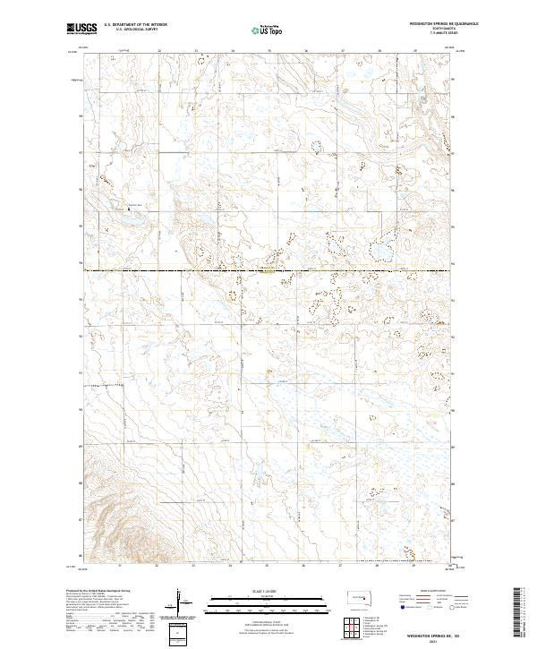 2021 Wessington Springs NE2021 Print · USGSThe prairie wetlands of Jerauld and Beadle Counties are captured here in the early 2020s, showing a landscape defined by glacial potholes and section-line roads. Genealogists and local historians can locate Earlville Cem and trace the drainage of Firesteel Cr and Sand Creek.
 - 2021 Map of Wessington Springs NW, 2021 Print
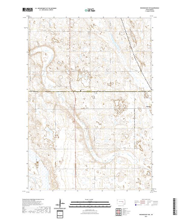
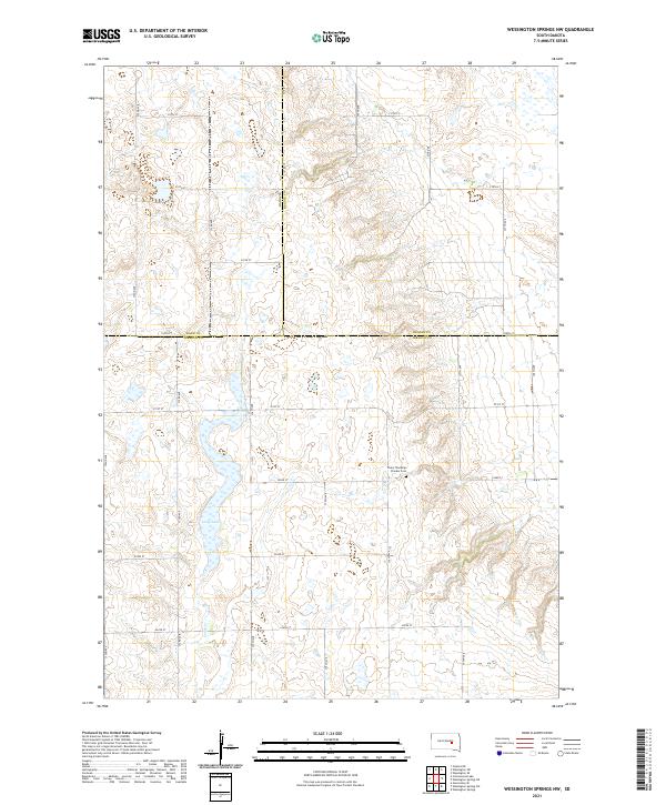 2021 Wessington Springs NW2021 Print · USGSThe rural prairie borders of Jerauld, Hand, and Beadle counties are captured here in the early twenty-first century. Genealogists and local historians can locate Chery Township Pioneer Cem and trace the drainage of Smith Cr through the township grid.
 - 2021 Map of Wessington Springs SW, 2021 Print
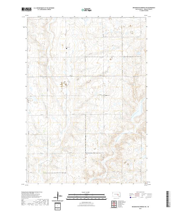 2021 Wessington Springs SW2021 Print · USGSJerauld County's agricultural prairie is documented here in the early twenty-first century, showing the enduring grid of section roads and watercourses. Researchers can locate Hope Cem and trace the headwaters of Smith Cr and the East Fork Smith Creek.
 - 2021 Map of Gannvalley SE, 2021 Print
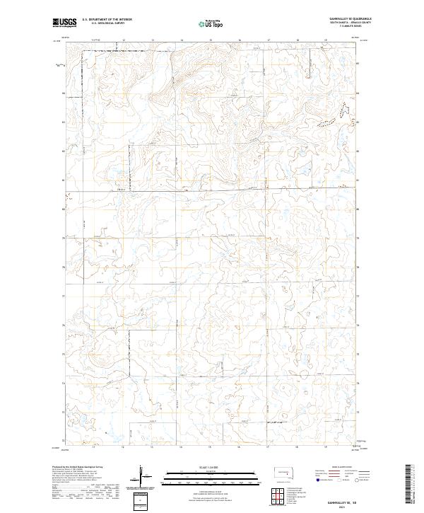 2021 Gannvalley SE2021 Print · USGSThe rural prairie of Jerauld County is captured here in the early twenty-first century, showing the enduring grid of the Public Land Survey System. Researchers can trace the layout of section roads like 225th St and 366th Ave through townships T107N R67W and T108N R66W.
 - 2021 Map of Alpena, 2021 Print
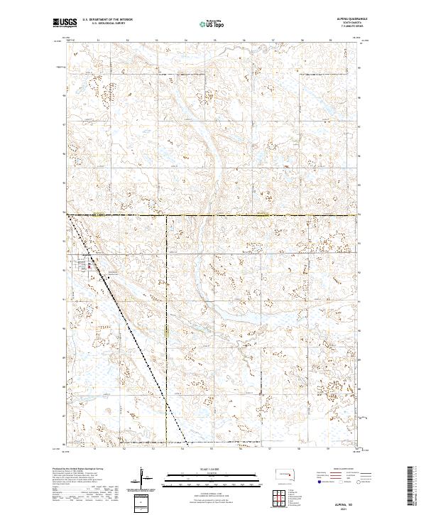 2021 Alpena2021 Print · USGSAlpena and the surrounding prairie lands are captured here at the start of the 2020s, where three counties meet in a landscape of section-line roads and seasonal wetlands. Genealogists can locate the Rest Haven - Alpena Cem and trace the town's layout along Railroad Ave and Main St.
 - 2021 Map of Wessington Springs, 2021 Print
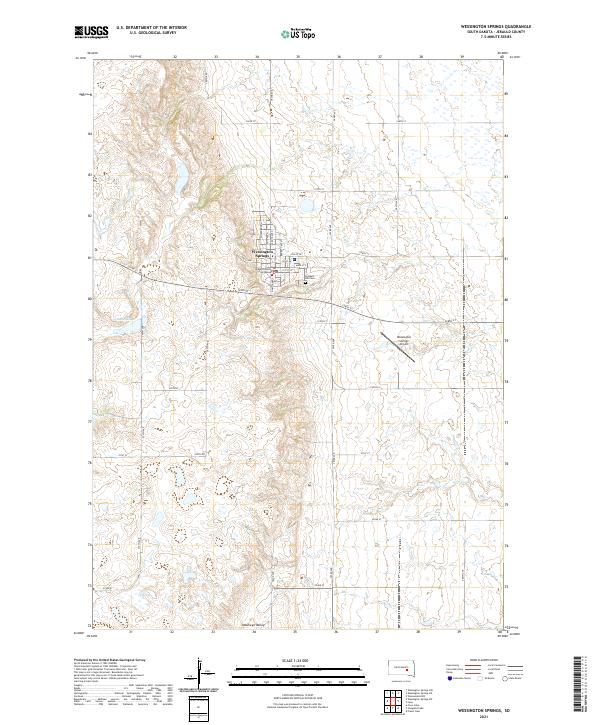 2021 Wessington Springs2021 Print · USGSThe Jerauld County seat of Wessington Springs stands at a crossroads of the Dakota prairie in this contemporary survey. Researchers can locate the Jerauld County Courthouse, trace local lineage at Prospect Hill Cem, and explore the natural hydrology of Deans Lake.
 - 2021 Map of Isham Lake, 2021 Print
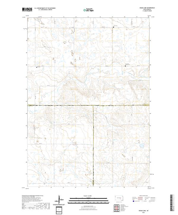 2021 Isham Lake2021 Print · USGSThe rural intersection of Jerauld, Brule, and Aurora counties is captured here in the early twenty-first century. Genealogists and local historians can locate several rural burial sites, including Salem Cem, Pleasant Hill Cem, and Crow Lake Catholic Cem.
 - 2021 Map of Woonsocket NW, 2021 Print
 2021 Woonsocket NW2021 Print · USGSAlpena and the surrounding farmsteads of the Jerauld and Beadle county line are documented here in the early twenty-first century. Family history researchers can locate Zion Cem or trace the winding courses of Sand Cr and Firesteel Cr through the prairie.
 - 2021 Map of Gannvalley, 2021 Print
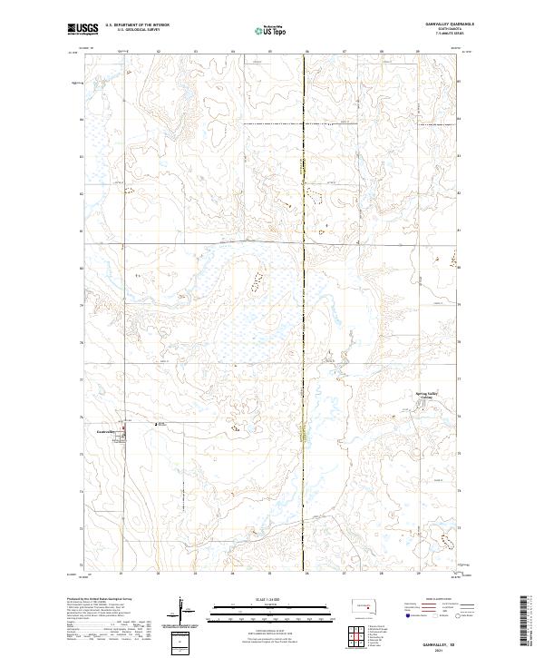 2021 Gannvalley2021 Print · USGSGannvalley and the surrounding South Dakota prairie are captured here in the early twenty-first century. Researchers can trace local history at the Buffalo County Courthouse, locate family roots at Spring Hill Cem, and explore the Spring Valley Colony.
 - 2021 Map of Lane, 2021 Print
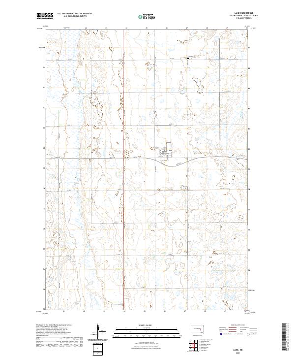 2021 Lane2021 Print · USGSJerauld County's agricultural heartland is captured here in the early twenty-first century, centered on the grid of the small town of Lane. Genealogists and local historians can trace family locations near Fairview Cem or follow the path of Firesteel Cr through the prairie.
 - 2021 Map of Cottonwood Lake, 2021 Print
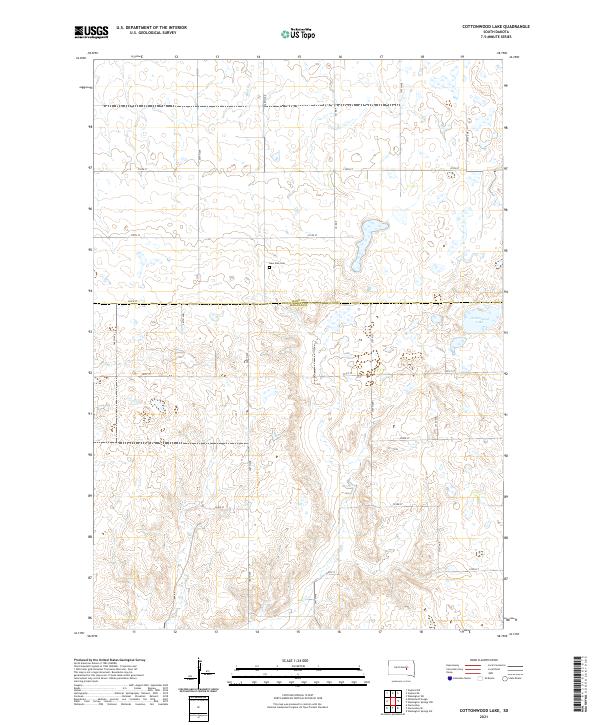 2021 Cottonwood Lake2021 Print · USGSThe rural border of Hand and Jerauld counties is captured here in the early twenty-first century, showcasing a landscape of prairie potholes and section-line roads. Genealogists and local historians can locate New Zion Cem and trace the shores of Cottonwood Lake.
End of results
Showing maps 1-18 of 18
Top cities of Jerauld County
Frequently asked questions
- What are the different types of historical maps available for Jerauld County?
- What is the oldest map of Jerauld County?
- Where can I purchase historical maps of Jerauld County for my home or office?
- Where can I download high-res historical maps of Jerauld County?
- Are there historical topographic maps available for Jerauld County?
- Is there historical aerial imagery available for Jerauld County?
- Where are historical maps of Jerauld County sourced from?