Old Maps of Nunda Township, South Dakota
Explore 23 old maps of Nunda Township, spanning from 1953 to today. These high-resolution historic maps reveal how streets, neighborhoods, landmarks, and natural features evolved over time — perfect for genealogy, metal detecting, research, and local history exploration.
What you can do with these maps:
- See how Nunda Township changed over time: Compare historical maps to modern-day views to trace roads, homesites, rail lines & more.
- View detailed metadata: Each map includes creators, publishers, year, scale, and archive source.
- Overlay maps with satellite & LiDAR: Visualize the past alongside modern tools to explore terrain & human change.
- Trusted historical sources: Maps sourced from the USGS, Library of Congress, and other archives.
- Access maps your way: View online, download high-res files, or order prints for personal or research use.
Start exploring old maps of Nunda Township to uncover forgotten places, hidden landmarks, and the deep history beneath your feet.
Nunda Township, SD maps
(23)- 1953 Map of Watertown, 1968 Print
 1953 Watertown1968 Print · USGSEastern South Dakota and the Minnesota borderlands are captured here during the mid-twentieth century as the region's agricultural and rail-service centers thrived. Genealogists and local historians can trace family-named sites across the Coteau des Prairies and find landmarks in Watertown, De Smet, and Brookings.3 unique versions available
 - 1958 Map of Watertown
 1958 Watertown1958 Print · USGSThe eastern South Dakota prairie and the Minnesota borderlands are captured here in the late fifties, showcasing a landscape of terminal moraine lakes and burgeoning rail hubs. Genealogists and historians can trace the early paths of the Chicago and North Western railroad or locate family roots in Watertown, Clark, or the Sisseton Indian Reservation.2 unique versions available
 - 1968 Map of Ramona, 1970 Print
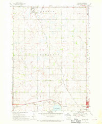 1968 Ramona1970 Print · USGSLake County agriculture and the rail-side life of the late sixties are preserved on this survey of the eastern South Dakota plains. Researchers can trace family sites near Ramona or locate local landmarks like the Drive-in Theater and Prairie Village.
 - 1968 Map of Madison, 1970 Print
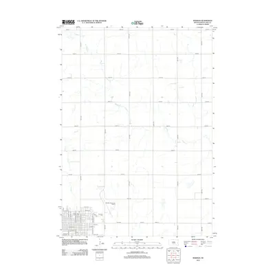
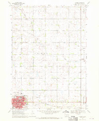 1968 Madison1970 Print · USGSMadison is shown as a thriving regional hub in the late sixties, centered on its college campus and railroad connections. Researchers can trace family roots through mapped landmarks like Graceland Cem, General Beadle State College, and Lake Madison Ch.
 - 1968 Map of Sinai, 1970 Print
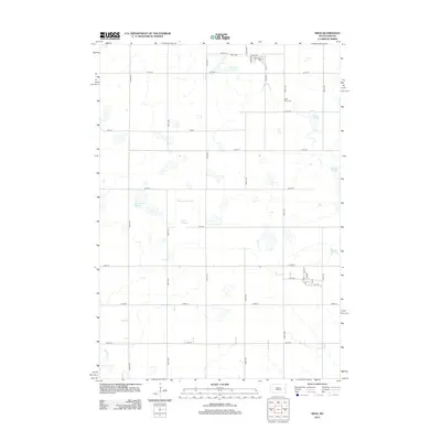
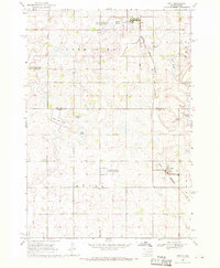 1968 Sinai1970 Print · USGSThe prairie wetlands of Brookings and Lake Counties are captured here in the late sixties as agricultural life centered on the local rail line. Genealogists and historians can trace the foundations of Sinai and Nunda, locating rural landmarks like Ash Grove Cem and the central Townhall.
 - 1968 Map of Madison NW, 1971 Print
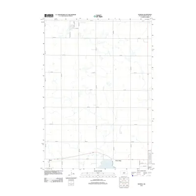
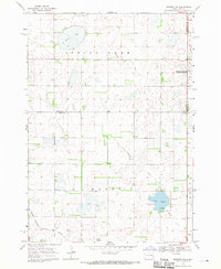 1968 Madison NW1971 Print · USGSLake County and Kingsbury County are captured in the late sixties at the height of their rail-and-water prairie character. Researchers can trace the Milwaukee Road rail line and locate St Anns Cem near the shores of Lake Badus.
 - 1985 Map of De Smet, 1986 Print
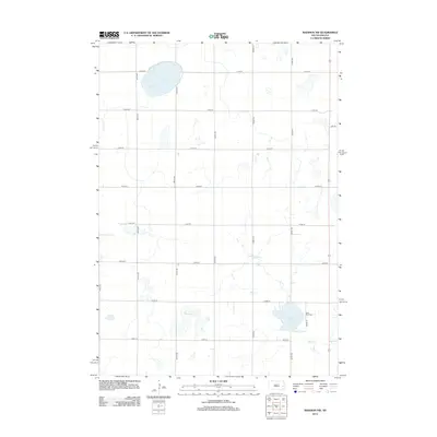
 1985 De Smet1986 Print · USGSEastern South Dakota in the mid-eighties shows a landscape of prairie rail towns and sprawling glacial lakes. Researchers can trace the routes of the Chicago and North Western through De Smet or locate communal sites like Pearl Creek Colony and Cloverleaf Colony.3 unique versions available
 - 2012 Map of Madison, 2012 Print
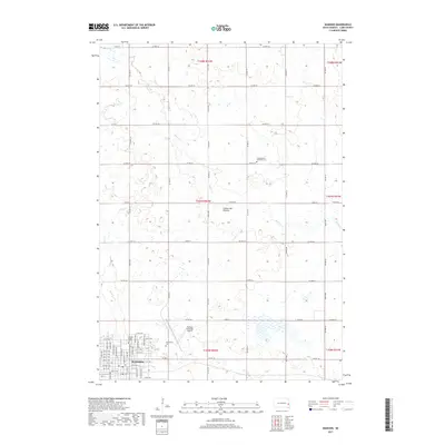
 2012 Madison2012 Print · USGSCovers Nunda Township, including Madison, Rutland Township, and other nearby areas
 - 2012 Map of Sinai, 2012 Print
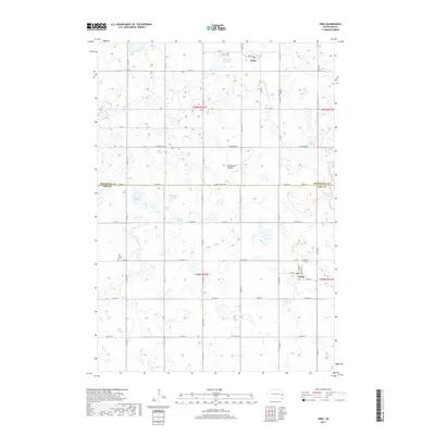
 2012 Sinai2012 Print · USGSCovers Nunda Township, including Sinai, Nunda, and other nearby areas
 - 2012 Map of Ramona, 2012 Print
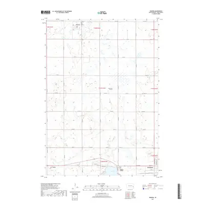
 2012 Ramona2012 Print · USGSCovers Nunda Township, including Madison, Ramona, and other nearby areas
 - 2012 Map of Madison NW, 2012 Print
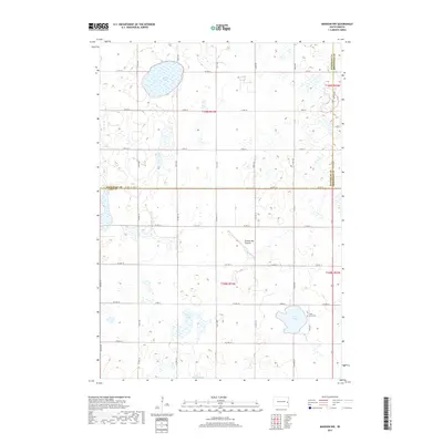
 2012 Madison NW2012 Print · USGSCovers Nunda Township, including Wayne Township, Lake Sinai Township, and other nearby areas
 - 2015 Map of Madison NW, 2015 Print
 2015 Madison NW2015 Print · USGSCovers Nunda Township, including Wayne Township, Lake Sinai Township, and other nearby areas
 - 2015 Map of Sinai, 2015 Print
 2015 Sinai2015 Print · USGSCovers Nunda Township, including Sinai, Nunda, and other nearby areas
 - 2015 Map of Madison, 2015 Print
 2015 Madison2015 Print · USGSCovers Nunda Township, including Madison, Rutland Township, and other nearby areas
 - 2015 Map of Ramona, 2015 Print
 2015 Ramona2015 Print · USGSCovers Nunda Township, including Madison, Ramona, and other nearby areas
 - 2017 Map of Sinai, 2017 Print
 2017 Sinai2017 Print · USGSCovers Nunda Township, including Sinai, Nunda, and other nearby areas
 - 2017 Map of Madison NW, 2017 Print
 2017 Madison NW2017 Print · USGSCovers Nunda Township, including Wayne Township, Lake Sinai Township, and other nearby areas
 - 2017 Map of Ramona, 2017 Print
 2017 Ramona2017 Print · USGSCovers Nunda Township, including Madison, Ramona, and other nearby areas
 - 2017 Map of Madison, 2017 Print
 2017 Madison2017 Print · USGSCovers Nunda Township, including Madison, Rutland Township, and other nearby areas
 - 2021 Map of Sinai, 2021 Print
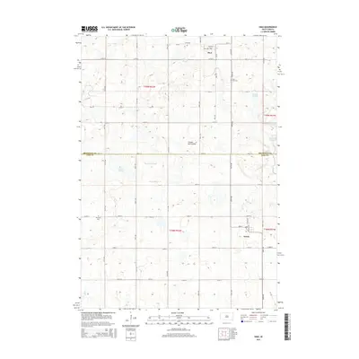
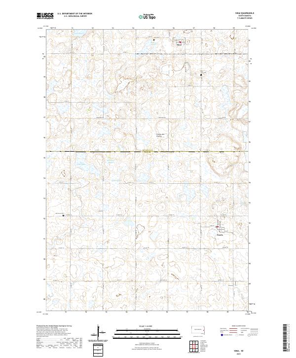 2021 Sinai2021 Print · USGSThe glacial plateau of South Dakota comes to life in this contemporary survey of the Brookings and Lake county line. Researchers can trace rural cemetery sites like Ash Grove Cem and explore the wetland topography of Quam Slough and Lake Sinai.
 - 2021 Map of Madison, 2021 Print
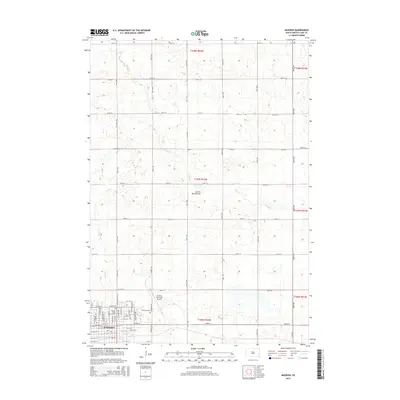
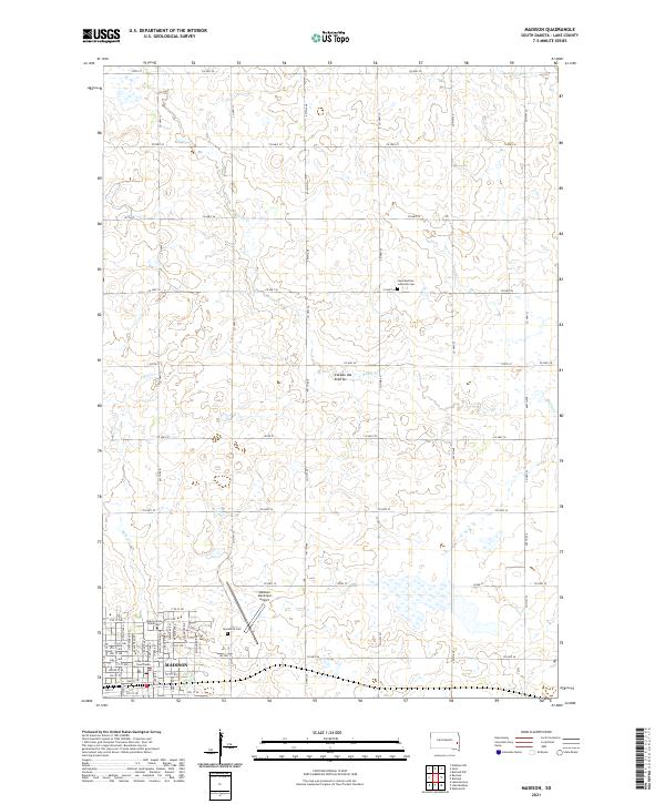 2021 Madison2021 Print · USGSMadison and the surrounding Lake County uplands are documented here in the early twenty-first century as the region continues its role as a regional educational and civic center. Researchers can locate Dakota State University, Graceland Cem, and the Lake County Courthouse.
 - 2021 Map of Madison NW, 2021 Print
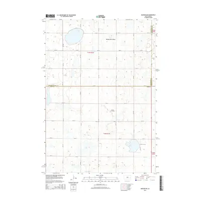
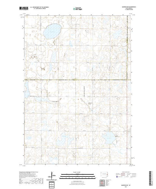 2021 Madison NW2021 Print · USGSThe glacial plateau of northwestern Lake County is captured in the early 2020s, showing a landscape of fertile farmland and numerous basins. Genealogists and historians can locate the 1880s Catholic heritage at Saint Ann's Cem near Lake Badus and trace the course of Battle Cr.
 - 2021 Map of Ramona, 2021 Print
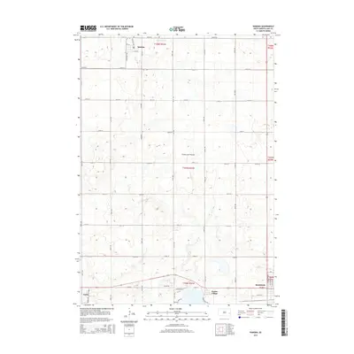
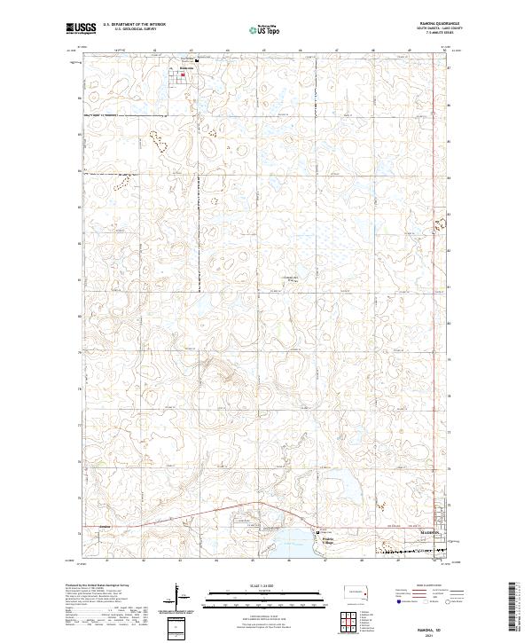 2021 Ramona2021 Print · USGSThe Lake County plains are captured here in the early twenty-first century, showing the rural grid surrounding Ramona and Junius. Genealogists and local historians can locate specific sites including Saint William Church Cem and the waters of Lake Herman.
End of results
Showing maps 1-23 of 23
Top cities near Nunda Township
- Madison historical maps
- Volga historical maps
- Arlington historical maps
- Rutland historical maps
- Ramona historical maps
- Wentworth historical maps
See more
Top neighborhoods of Nunda Township
Frequently asked questions
- What are the different types of historical maps available for Nunda Township?
- What is the oldest map of Nunda Township?
- Where can I purchase historical maps of Nunda Township for my home or office?
- Where can I download high-res historical maps of Nunda Township?
- Are there historical topographic maps available for Nunda Township?
- Is there historical aerial imagery available for Nunda Township?
- Where are historical maps of Nunda Township sourced from?