Old Maps of Westwood Hutterite Colony, South Dakota for Academic Research
Study the evolution of Westwood Hutterite Colony with 9 high-resolution historic maps. Whether you're teaching, researching, or modeling changes in land use, these maps provide essential visual documentation of urban, environmental, and geographic change.
- Analyze long-term change: Track patterns in development, transportation, and natural features.
- Ideal for environmental or urban studies: Support academic projects with primary historical map data.
- Use in the classroom or lab: Educators and researchers rely on these maps to bring historical context to life.
These maps are a powerful tool for teaching, research, and visualizing how Westwood Hutterite Colony has changed over the decades.
Westwood Hutterite Colony, SD maps
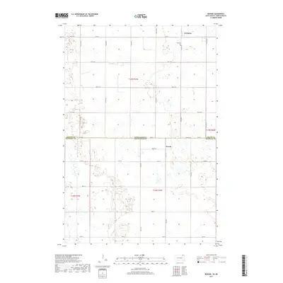
(9)- 1953 Map of Newark, 1955 Print
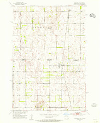 1953 Newark1955 Print · USGSThe North Dakota and South Dakota borderlands come alive in this mid-century survey of the Newark vicinity. Genealogists and local historians can trace the tracks of the Milwaukee Road past the Chadwick Sch and Brampton Cem.2 unique versions available
 - 1953 Map of Milbank, 1958 Print
 1953 Milbank1958 Print · USGSThe tri-state border region of South Dakota, North Dakota, and Minnesota is shown here during the early fifties, a landscape defined by glacial lakes and the Sisseton Indian Reservation. Researchers can trace the legacy of the western railroads, locating old stops along the Great Northern and settlements like Milbank, Webster, and Sisseton.3 unique versions available
 - 1958 Map of Milbank
 1958 Milbank1958 Print · USGSThe northern Great Plains in the late fifties show a landscape of glacial lakes and reservation lands shaped by the Great Northern railroad. Genealogists and local historians can trace the grid of settlements from Britton to Milbank and locate landmarks like Enemy Swim Lake and the Sisseton Indian Reservation.
 - 1979 Map of Sisseton, 1980 Print
 1979 Sisseton1980 Print · USGSNortheastern South Dakota and the North Dakota borderlands appear here in the late seventies, centered on the high glacial plateau. Genealogists and historians can trace the Sisseton Indian Reservation and rail-stop towns like Britton and Lake City.
 - 2011 Map of Newark, 2011 Print
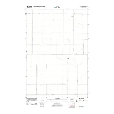 2011 Newark2011 Print · USGSCovers Westwood Hutterite Colony, including Brampton Township, Newark, and other nearby areas
 - 2012 Map of Newark, 2012 Print
 2012 Newark2012 Print · USGSCovers Westwood Hutterite Colony, including Brampton Township, Newark, and other nearby areas
 - 2015 Map of Newark, 2015 Print
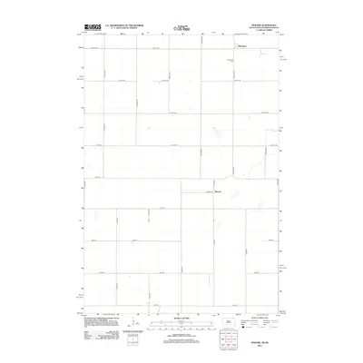
 2015 Newark2015 Print · USGSCovers Westwood Hutterite Colony, including Brampton Township, Newark, and other nearby areas
 - 2017 Map of Newark, 2017 Print
 2017 Newark2017 Print · USGSCovers Westwood Hutterite Colony, including Brampton Township, Newark, and other nearby areas
 - 2021 Map of Newark, 2021 Print
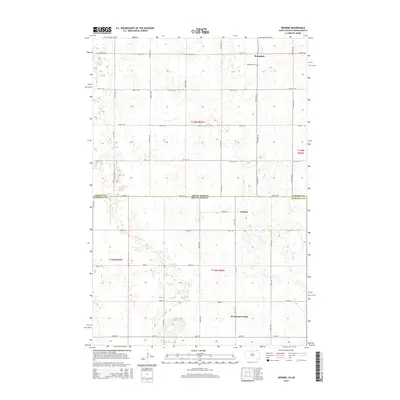
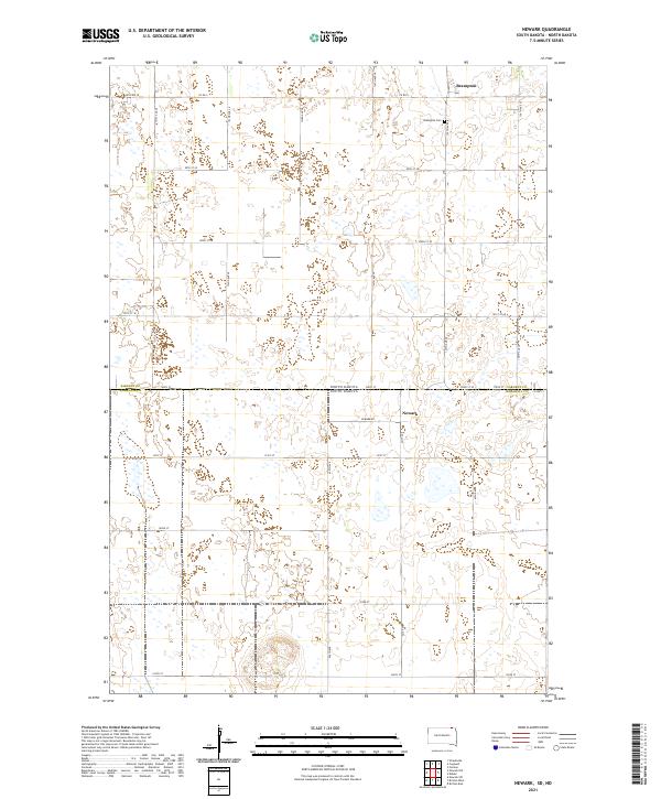 2021 Newark2021 Print · USGSThe interstate borderlands of Marshall and Sargent counties are captured here in the early 2020s, showing a landscape of organized agriculture and wetland basins. Genealogists can locate family sites near the Brampton Cem or trace the rural routes connecting Newark and Brampton.
End of results
Showing maps 1-9 of 9
Top cities near Westwood Hutterite Colony
- Britton historical maps
- Forman historical maps
- Cogswell historical maps
- Havana historical maps
- Brampton Township historical maps
- Newark historical maps
Frequently asked questions
- What are the different types of historical maps available for Westwood Hutterite Colony?
- What is the oldest map of Westwood Hutterite Colony?
- Where can I purchase historical maps of Westwood Hutterite Colony for my home or office?
- Where can I download high-res historical maps of Westwood Hutterite Colony?
- Are there historical topographic maps available for Westwood Hutterite Colony?
- Is there historical aerial imagery available for Westwood Hutterite Colony?
- Where are historical maps of Westwood Hutterite Colony sourced from?