Old Maps of White Owl, South Dakota for Genealogy
Trace your family roots with 8 historic maps of White Owl. These high-res maps reveal old neighborhoods, homesites, landmarks, and streets — helping you uncover where your ancestors lived and how the area evolved over time.
- Explore historic neighborhoods: Identify where your relatives may have lived in the 1800s or 1900s.
- Compare maps over time: Trace the changes in streets, buildings, and landmarks for multi-generational research.
- Perfect for genealogy & ancestry research: Used by family historians and researchers to map out lineage and migration.
These maps are an incredible resource for exploring your personal connection to White Owl's past.
White Owl, SD maps
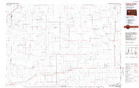
(8)- 1953 Map of Rapid City, 1964 Print
 1953 Rapid City1964 Print · USGSWestern South Dakota's transition from the Black Hills to the open prairie is captured here during the mid-fifties. Researchers can trace the development of Ellsworth Air Force Base alongside historic landmarks like Bear Butte and the Lower Alkali School.3 unique versions available
 - 1957 Map of Rapid City
 1957 Rapid City1957 Print · USGSWestern South Dakota in the mid-fifties reveals a landscape of high-altitude forests and growing military installations. Researchers can trace the development of Ellsworth Air Force Base, locate the Theodore Roosevelt Monument, and find rural landmarks like Lower Alkali School.
 - 1983 Map of Whiteman Owl, 1984 Print
 1983 Whiteman Owl1984 Print · USGSMeade County ranching country is captured here in the early 1980s, centered on the community of White Owl. Genealogists and local historians can trace the town site, locate the White Owl Cem, and follow the complex drainage of the Badlands through Pine Creek.
 - 1984 Map of Camp Creek
 1984 Camp Creek1984 Print · USGSMeade County ranching country comes into focus in the mid-1980s, showcasing the remote settlements and airstrips of the South Dakota plains. Researchers can locate family landmarks like the Vig Ranch Landing Strip, the small community of Opal, and the high terrain of Fox Ridge.2 unique versions available
 - 2012 Map of White Owl, 2012 Print
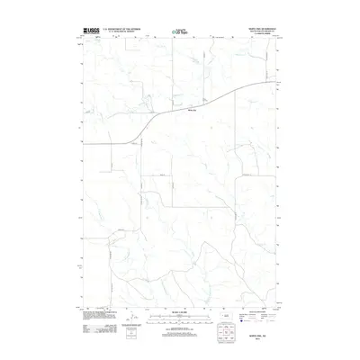 2012 White Owl2012 Print · USGSCovers White Owl, including Meade County, United States, and other nearby areas
 - 2015 Map of White Owl, 2015 Print
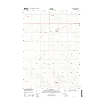 2015 White Owl2015 Print · USGSCovers White Owl, including Meade County, United States, and other nearby areas
 - 2017 Map of White Owl, 2017 Print
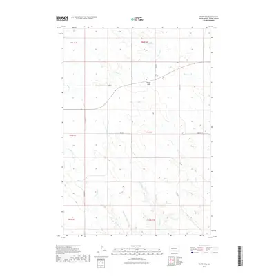 2017 White Owl2017 Print · USGSCovers White Owl, including Meade County, United States, and other nearby areas
 - 2021 Map of White Owl, 2021 Print
 2021 White Owl2021 Print · USGSMeade County remains a landscape of sprawling ranchland and winding creek beds in the early twenty-first century. Genealogists and local historians can locate White Owl and the nearby White Owl Cem, while tracing the seasonal flows of Pine Cr and White Owl Cr.
End of results
Showing maps 1-8 of 8
Frequently asked questions
- What are the different types of historical maps available for White Owl?
- What is the oldest map of White Owl?
- Where can I purchase historical maps of White Owl for my home or office?
- Where can I download high-res historical maps of White Owl?
- Are there historical topographic maps available for White Owl?
- Is there historical aerial imagery available for White Owl?
- Where are historical maps of White Owl sourced from?