Old Maps of Wasta, South Dakota
Explore 8 old maps of Wasta, spanning from 1953 to today. These high-resolution historic maps reveal how streets, neighborhoods, landmarks, and natural features evolved over time — perfect for genealogy, metal detecting, research, and local history exploration.
What you can do with these maps:
- See how Wasta changed over time: Compare historical maps to modern-day views to trace roads, homesites, rail lines & more.
- View detailed metadata: Each map includes creators, publishers, year, scale, and archive source.
- Overlay maps with satellite & LiDAR: Visualize the past alongside modern tools to explore terrain & human change.
- Trusted historical sources: Maps sourced from the USGS, Library of Congress, and other archives.
- Access maps your way: View online, download high-res files, or order prints for personal or research use.
Start exploring old maps of Wasta to uncover forgotten places, hidden landmarks, and the deep history beneath your feet.
Wasta, SD maps
(8)- 1953 Map of Rapid City, 1964 Print
 1953 Rapid City1964 Print · USGSWestern South Dakota's transition from the Black Hills to the open prairie is captured here during the mid-fifties. Researchers can trace the development of Ellsworth Air Force Base alongside historic landmarks like Bear Butte and the Lower Alkali School.3 unique versions available
 - 1954 Map of Wasta, 1956 Print
 1954 Wasta1956 Print · USGSThe Cheyenne River breaks through the South Dakota plains in the mid-1950s, creating a vital corridor for the Chicago and North Western railroad. Researchers can trace the layout of Wasta, the local Wasta Landing Field, and family-named landmarks like Shyne Lake.2 unique versions available
 - 1957 Map of Rapid City
 1957 Rapid City1957 Print · USGSWestern South Dakota in the mid-fifties reveals a landscape of high-altitude forests and growing military installations. Researchers can trace the development of Ellsworth Air Force Base, locate the Theodore Roosevelt Monument, and find rural landmarks like Lower Alkali School.
 - 1984 Map of New Underwood
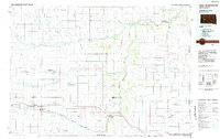 1984 New Underwood1984 Print · USGSPennington and Meade counties in the mid-1980s show a landscape of river-fed agriculture and prairie management. Genealogists and historians can trace rail and road development through New Underwood and Wasta or locate features like Elm Springs and Hubbard Hill.2 unique versions available
 - 2012 Map of Wasta, 2012 Print
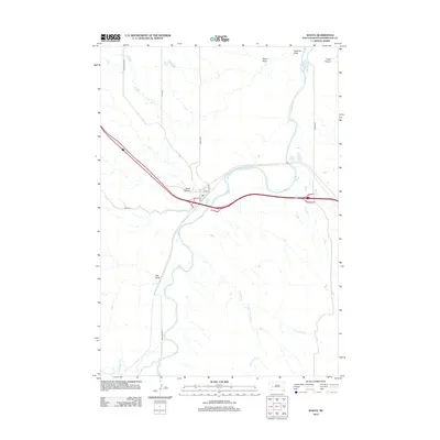 2012 Wasta2012 Print · USGSPennington County ranching country and river bottomlands are captured here during the early twenty-first century. Genealogists and local historians can trace the streets of Wasta and locate family landmarks near Shyne Lake, Hawk Canyon, and Fivemile Draw.
 - 2015 Map of Wasta, 2015 Print
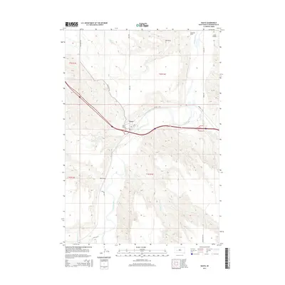 2015 Wasta2015 Print · USGSPennington County’s river-carved plains are documented here during the mid-2010s, centered on the town of Wasta. Researchers can trace the winding course of the Cheyenne River and locate family-named landmarks like Shyne Lake, Hawk Canyon, and Pats Draw.
 - 2017 Map of Wasta, 2017 Print
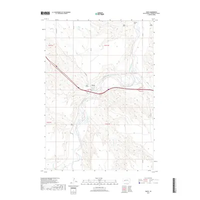 2017 Wasta2017 Print · USGSPennington County was still defined by its prairie waterways and the small town of Wasta in the late 2010s. Genealogists and historians can trace the landscape around the Cheyenne River and locate landmarks like Shyne Lake and Hawk Canyon.
 - 2021 Map of Wasta, 2021 Print
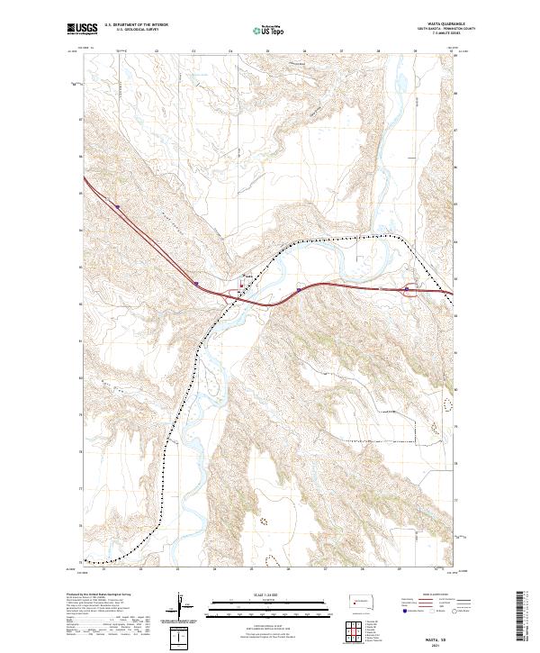 2021 Wasta2021 Print · USGSPennington County's river valley and prairie plateaus are captured here in the early 2020s. Genealogists and historians can trace the topography around Wasta and locate regional landmarks like Shyne Lake, Hawk Canyon, and the banks of the Cheyenne River.
End of results
Showing maps 1-8 of 8
Top cities near Wasta
Frequently asked questions
- What are the different types of historical maps available for Wasta?
- What is the oldest map of Wasta?
- Where can I purchase historical maps of Wasta for my home or office?
- Where can I download high-res historical maps of Wasta?
- Are there historical topographic maps available for Wasta?
- Is there historical aerial imagery available for Wasta?
- Where are historical maps of Wasta sourced from?