Old Maps of Union Township, South Dakota
Explore 17 old maps of Union Township, spanning from 1895 to today. These high-resolution historic maps reveal how streets, neighborhoods, landmarks, and natural features evolved over time — perfect for genealogy, metal detecting, research, and local history exploration.
What you can do with these maps:
- See how Union Township changed over time: Compare historical maps to modern-day views to trace roads, homesites, rail lines & more.
- View detailed metadata: Each map includes creators, publishers, year, scale, and archive source.
- Overlay maps with satellite & LiDAR: Visualize the past alongside modern tools to explore terrain & human change.
- Trusted historical sources: Maps sourced from the USGS, Library of Congress, and other archives.
- Access maps your way: View online, download high-res files, or order prints for personal or research use.
Start exploring old maps of Union Township to uncover forgotten places, hidden landmarks, and the deep history beneath your feet.
Union Township, SD maps
(17)- 1895 Map of Byron
 1895 Byron1895 Print · USGSEastern South Dakota was rapidly organizing into townships when this survey was conducted. You can trace the path of the Chicago and Northwestern R. R. through early settlements like Frankfort, Doland, and Ashton.4 unique versions available
 - 1953 Map of Huron, 1959 Print
 1953 Huron1959 Print · USGSCentral South Dakota comes alive in the mid-1950s as a thriving rail and agricultural corridor between the Missouri and James Rivers. Trace the legacy of family farms and prairie towns like Huron, Faulkton, and Wessington Springs along the historic Chicago and North Western rail lines.3 unique versions available
 - 1953 Map of Watertown, 1968 Print
 1953 Watertown1968 Print · USGSEastern South Dakota and the Minnesota borderlands are captured here during the mid-twentieth century as the region's agricultural and rail-service centers thrived. Genealogists and local historians can trace family-named sites across the Coteau des Prairies and find landmarks in Watertown, De Smet, and Brookings.3 unique versions available
 - 1954 Map of Huron, 1977 Print
 1954 Huron1977 Print · USGSCentral South Dakota was a landscape of grain elevators and river bends during the mid-fifties. Genealogists and historians can trace the development of the James River valley through railroad towns like Redfield and the sprawling Crow Creek Indian Reservation.
 - 1958 Map of Watertown
 1958 Watertown1958 Print · USGSThe eastern South Dakota prairie and the Minnesota borderlands are captured here in the late fifties, showcasing a landscape of terminal moraine lakes and burgeoning rail hubs. Genealogists and historians can trace the early paths of the Chicago and North Western railroad or locate family roots in Watertown, Clark, or the Sisseton Indian Reservation.2 unique versions available
 - 1971 Map of Bloomfield, 1974 Print
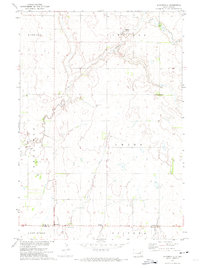 1971 Bloomfield1974 Print · USGSAgricultural life in eastern South Dakota comes into focus during the early seventies, spanning the Beadle and Spink county line. Researchers can locate specific homestead sites and landmarks like Hillside Colony, La Delle, and Hutterthal Ch.
 - 1973 Map of Carpenter, 1978 Print
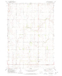 1973 Carpenter1978 Print · USGSEastern South Dakota’s agricultural heartland is documented here in the early seventies, showing a landscape defined by township grids and scattered rural communities. Genealogists and local historians can locate early burial sites at Union Cem and Richland Cem, or trace the small settlements of Richland and Carpenter.
 - 1985 Map of Watertown
 1985 Watertown1985 Print · USGSEastern South Dakota in the mid-eighties remains a landscape of expansive prairie wetlands and agricultural rail towns. Genealogists and local historians can trace the routes of the CHICAGO AND NORTH WESTERN railroad through Garden City, Vienna, and Watertown.2 unique versions available
 - 1985 Map of Redfield, 1986 Print
 1985 Redfield1986 Print · USGSSpink and Hand counties are captured here in the mid-1980s, revealing a landscape of rail-dependent prairie towns and extensive waterfowl conservation areas. Genealogists and historians can trace the Chicago and North Western rail lines through Redfield to outlying settlements like Tulare and Frankfort.
 - 2012 Map of Carpenter, 2012 Print
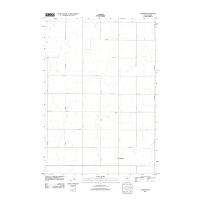 2012 Carpenter2012 Print · USGSSpink County's prairie landscape is captured here in the early twenty-first century, showing the rural layout of Union Township. Researchers can locate family burial sites at Union Cem and Richland Cem or trace the drainage of Foster Cr near Carpenter.
 - 2012 Map of Bloomfield, 2012 Print
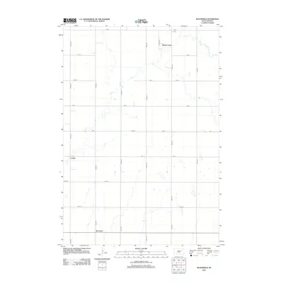 2012 Bloomfield2012 Print · USGSThe Spink County prairie is captured here in the early twenty-first century, showing a landscape defined by traditional agriculture and communal living. Researchers can locate family landmarks like the Roe Cem and the small settlements of LaDelle and Bloomfield.
 - 2015 Map of Carpenter, 2015 Print
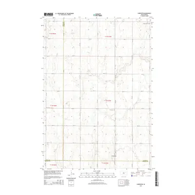 2015 Carpenter2015 Print · USGSThe high plateau of the Coteau des Prairies defines this rural landscape at the three-county corner of Spink, Clark, and Beadle. Genealogists can locate family plots at Union Cem and Richland Cem near the small settlement of Carpenter.
 - 2015 Map of Bloomfield, 2015 Print
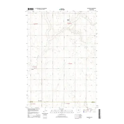 2015 Bloomfield2015 Print · USGSSpink County prairie lands are captured here in the mid-2010s, showing the intersection of communal settlement and rural township life. Researchers can locate the Hillside Colony, the historic site of LaDelle, and the Roe Cem near the banks of Foster Cr.
 - 2017 Map of Carpenter, 2017 Print
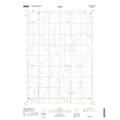 2017 Carpenter2017 Print · USGSSpink and Clark Counties maintain their quiet agricultural rhythm in the late twenty-tens as the prairie meets the Coteau. Local historians can locate the Union Cem and Richland Cem or trace the path of Foster Cr near Carpenter.
 - 2017 Map of Bloomfield, 2017 Print
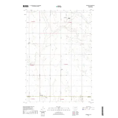 2017 Bloomfield2017 Print · USGSSpink County and the northern edge of Beadle County are captured here in 2017, showcasing the quiet agricultural landscape of the eastern Dakotas. Genealogists can trace family heritage through sites like Hillside Colony, Emmanuel Mennonite Cemetery, and Roe Cemetery.
 - 2021 Map of Bloomfield, 2021 Print
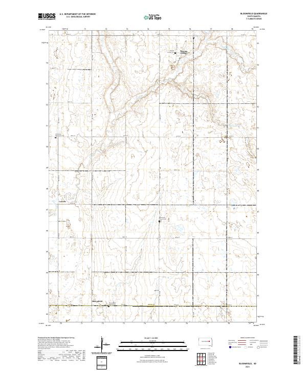 2021 Bloomfield2021 Print · USGSThe Spink and Beadle County border comes into focus in this recent study of South Dakota's rural heartland. Local historians can trace the community life of Hillside Colony and Bloomfield through landmarks like the Missionary Church Cem and Prairie Bible Church Cem.
 - 2021 Map of Carpenter, 2021 Print
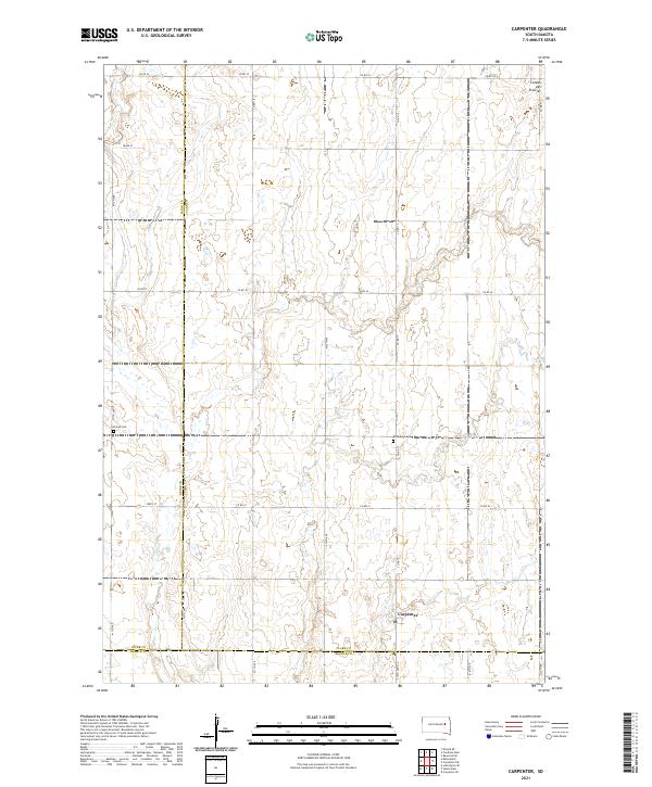 2021 Carpenter2021 Print · USGSThe eastern South Dakota plains near the Clark and Spink county line are captured here in the early twenty-first century. Researchers can locate the small settlement of Carpenter and trace family sites near Union Cem and Richland Cem.
End of results
Showing maps 1-17 of 17
Top cities near Union Township
Top neighborhoods of Union Township
Frequently asked questions
- What are the different types of historical maps available for Union Township?
- What is the oldest map of Union Township?
- Where can I purchase historical maps of Union Township for my home or office?
- Where can I download high-res historical maps of Union Township?
- Are there historical topographic maps available for Union Township?
- Is there historical aerial imagery available for Union Township?
- Where are historical maps of Union Township sourced from?