Old Maps of Mission Ridge, South Dakota for Academic Research
Study the evolution of Mission Ridge with 8 high-resolution historic maps. Whether you're teaching, researching, or modeling changes in land use, these maps provide essential visual documentation of urban, environmental, and geographic change.
- Analyze long-term change: Track patterns in development, transportation, and natural features.
- Ideal for environmental or urban studies: Support academic projects with primary historical map data.
- Use in the classroom or lab: Educators and researchers rely on these maps to bring historical context to life.
These maps are a powerful tool for teaching, research, and visualizing how Mission Ridge has changed over the decades.
Mission Ridge, SD maps
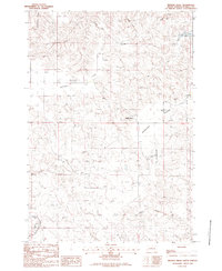
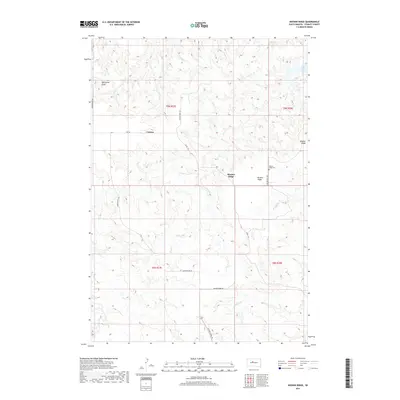
(8)- 1954 Map of Pierre, 1968 Print
 1954 Pierre1968 Print · USGSThe Missouri River and the newly formed Oahe Reservoir define central South Dakota in the 1950s. Genealogists and local historians can trace early settlements and rail stops like Eakin Siding, Mission Ridge, and Ottumwa.2 unique versions available
 - 1958 Map of Pierre
 1958 Pierre1958 Print · USGSCentral South Dakota is documented during the mid-fifties, just as the Missouri River valley was being transformed by the massive Oahe Dam project. Researchers can trace the early Oahe Reservoir shoreline and find remote outposts like Milesville, Onida, and Giddings Flat.
 - 1982 Map of Mission Ridge, 1983 Print
 1982 Mission Ridge1983 Print · USGSStanley County ranch lands are detailed in the early 1980s, showing the intersection of family heritage and frontier geography. Genealogists can locate named homesteads like the Ancel Tibbs Ranch, while historians can trace the Old Indian Treaty Boundary.
 - 1986 Map of Onida
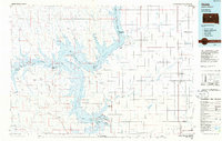 1986 Onida1986 Print · USGSThe high plains of Sully County meet the vast waters of the Missouri River in the mid-1980s. Local researchers can trace the Chicago and North Western rail line through Onida and Agar or locate the Blunt Cemetery on the southern horizon.2 unique versions available
 - 2012 Map of Mission Ridge, 2012 Print
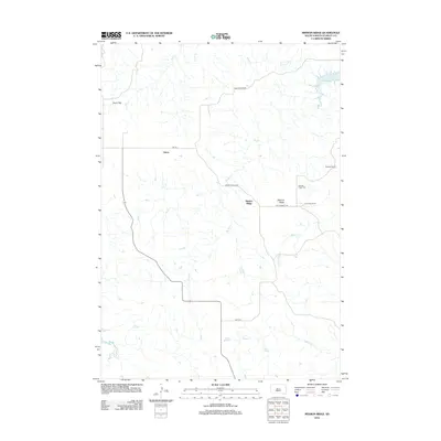 2012 Mission Ridge2012 Print · USGSCovers Mission Ridge, including Orton, Stanley County, and other nearby areas
 - 2015 Map of Mission Ridge, 2015 Print
 2015 Mission Ridge2015 Print · USGSCovers Mission Ridge, including Orton, Stanley County, and other nearby areas
 - 2017 Map of Mission Ridge, 2017 Print
 2017 Mission Ridge2017 Print · USGSCovers Mission Ridge, including Orton, Stanley County, and other nearby areas
 - 2021 Map of Mission Ridge, 2021 Print
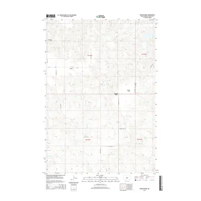
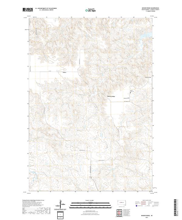 2021 Mission Ridge2021 Print · USGSStanley County remains a rugged landscape of high ridges and river draws in the early twenty-first century. Researchers can trace rural settlement patterns near Mission Ridge and Orton, or locate family sites by the Mission Ridge Cemetery and Brush Creek.
End of results
Showing maps 1-8 of 8
Frequently asked questions
- What are the different types of historical maps available for Mission Ridge?
- What is the oldest map of Mission Ridge?
- Where can I purchase historical maps of Mission Ridge for my home or office?
- Where can I download high-res historical maps of Mission Ridge?
- Are there historical topographic maps available for Mission Ridge?
- Is there historical aerial imagery available for Mission Ridge?
- Where are historical maps of Mission Ridge sourced from?