Old Maps of Hidden Timber, Okreek Segment for Genealogy
Trace your family roots with 8 historic maps of Hidden Timber. These high-res maps reveal old neighborhoods, homesites, landmarks, and streets — helping you uncover where your ancestors lived and how the area evolved over time.
- Explore historic neighborhoods: Identify where your relatives may have lived in the 1800s or 1900s.
- Compare maps over time: Trace the changes in streets, buildings, and landmarks for multi-generational research.
- Perfect for genealogy & ancestry research: Used by family historians and researchers to map out lineage and migration.
These maps are an incredible resource for exploring your personal connection to Hidden Timber's past.
Hidden Timber, Okreek Segment maps
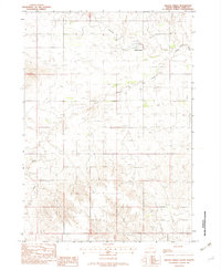
(8)- 1955 Map of Martin, 1968 Print
 1955 Martin1968 Print · USGSTribal lands and rail corridors define the South Dakota plains in the mid-fifties, from the sand hills to the badlands. Genealogists and historians can trace the early layout of Pine Ridge Indian Reservation settlements and find small rail towns like Stamford and Witten.2 unique versions available
 - 1958 Map of Martin
 1958 Martin1958 Print · USGSSouth Dakota's southern plains are documented here in the late fifties, showing the expansive Pine Ridge and Rosebud Indian Reservations. Genealogists and historians can locate early settlements along the Chicago Milwaukee St Paul and Pacific line or find family roots near Martin and the Indian Cemetery.
 - 1982 Map of Hidden Timber
 1982 Hidden Timber1982 Print · USGSTodd County's high plains terrain is documented here in the early eighties as the landscape of the Rosebud Reservation remained largely open. Genealogists and local historians can locate rural landmarks like Hidden Timber and Klein Sch along the Keya Paha River.
 - 1982 Map of Mission, 1983 Print
 1982 Mission1983 Print · USGSThe Rosebud Reservation in the early eighties shows a landscape of plains communities and aviation outposts. Genealogists and researchers can trace local centers like Mission, Rosebud, and St Francis, or locate family landmarks near Antelope Lake and the Keya Paha River.
 - 2012 Map of Hidden Timber, 2012 Print
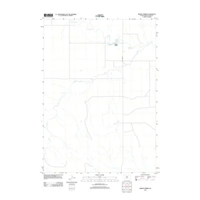 2012 Hidden Timber2012 Print · USGSCovers Hidden Timber, including Antelope Segment, Okreek Segment, and other nearby areas
 - 2015 Map of Hidden Timber, 2015 Print
 2015 Hidden Timber2015 Print · USGSCovers Hidden Timber, including Antelope Segment, Okreek Segment, and other nearby areas
 - 2017 Map of Hidden Timber, 2017 Print
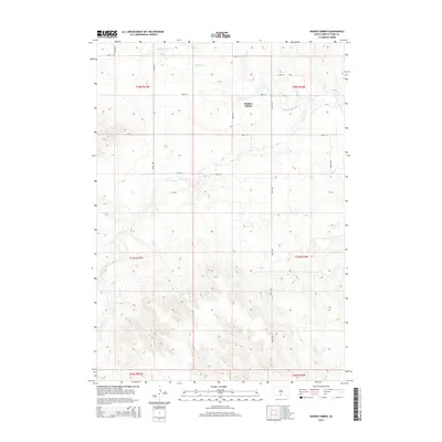
 2017 Hidden Timber2017 Print · USGSCovers Hidden Timber, including Antelope Segment, Okreek Segment, and other nearby areas
 - 2021 Map of Hidden Timber, 2021 Print
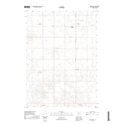
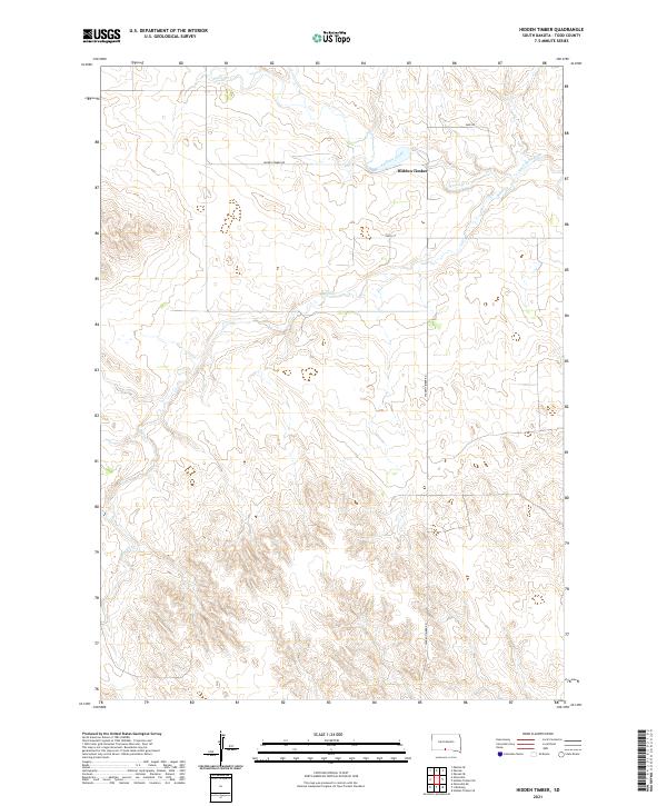 2021 Hidden Timber2021 Print · USGSTodd County during the early twenty-first century is captured here as a landscape of wide-open spaces and essential river systems. Researchers can trace the winding course of the Keya Paha River and locate the community of Hidden Timber along Hidden Timber Rd.
End of results
Showing maps 1-8 of 8
Top cities near Hidden Timber
Frequently asked questions
- What are the different types of historical maps available for Hidden Timber?
- What is the oldest map of Hidden Timber?
- Where can I purchase historical maps of Hidden Timber for my home or office?
- Where can I download high-res historical maps of Hidden Timber?
- Are there historical topographic maps available for Hidden Timber?
- Is there historical aerial imagery available for Hidden Timber?
- Where are historical maps of Hidden Timber sourced from?