Old Maps of Rosebud, South Dakota
Explore 39 old maps of Rosebud, spanning from 1955 to today. These high-resolution historic maps reveal how streets, neighborhoods, landmarks, and natural features evolved over time — perfect for genealogy, metal detecting, research, and local history exploration.
What you can do with these maps:
- See how Rosebud changed over time: Compare historical maps to modern-day views to trace roads, homesites, rail lines & more.
- View detailed metadata: Each map includes creators, publishers, year, scale, and archive source.
- Overlay maps with satellite & LiDAR: Visualize the past alongside modern tools to explore terrain & human change.
- Trusted historical sources: Maps sourced from the USGS, Library of Congress, and other archives.
- Access maps your way: View online, download high-res files, or order prints for personal or research use.
Start exploring old maps of Rosebud to uncover forgotten places, hidden landmarks, and the deep history beneath your feet.
Rosebud, SD maps
(39)- 1955 Map of Martin, 1968 Print
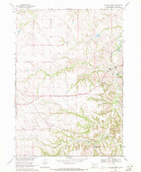
 1955 Martin1968 Print · USGSTribal lands and rail corridors define the South Dakota plains in the mid-fifties, from the sand hills to the badlands. Genealogists and historians can trace the early layout of Pine Ridge Indian Reservation settlements and find small rail towns like Stamford and Witten.2 unique versions available
 - 1958 Map of Martin
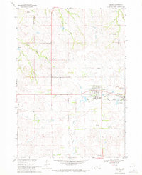
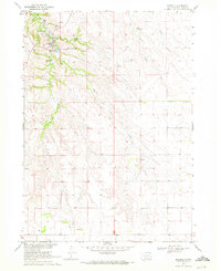
 1958 Martin1958 Print · USGSSouth Dakota's southern plains are documented here in the late fifties, showing the expansive Pine Ridge and Rosebud Indian Reservations. Genealogists and historians can locate early settlements along the Chicago Milwaukee St Paul and Pacific line or find family roots near Martin and the Indian Cemetery.
 - 1969 Map of Soldier Creek, 1971 Print
 1969 Soldier Creek1971 Print · USGSThe Rosebud Indian Reservation in the late 1960s reveals a landscape of isolated homesteads and deep river canyons. Researchers can trace tribal heritage and family locations through sites like Salt Camp Cem, St Marys Ch, and the settlement at Soldier Creek.
 - 1969 Map of Mission, 1971 Print
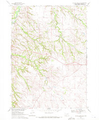
 1969 Mission1971 Print · USGSTodd County and the Rosebud Indian Reservation are shown during a period of steady prairie development in the late sixties. Researchers can trace family sites at the Indian Mission Cem or Trinity Cem, and locate landmarks like Mission Sioux Airport and Table Butte.
 - 1969 Map of Parmelee, 1971 Print
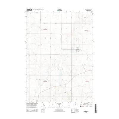
 1969 Parmelee1971 Print · USGSThe Rosebud Indian Reservation is documented here in the late sixties, centering on the community of Parmelee. Genealogists and historians can trace ancestral locations like High Hawks Village (Historic Site) and the He Dog Day Sch.
 - 1969 Map of Soldier Creek SE, 1972 Print
 1969 Soldier Creek SE1972 Print · USGSThe Rosebud Indian Reservation in the late sixties shows a landscape where spiritual and cultural sites are vital landmarks. Genealogists and historians can trace local heritage through the Native American Cem, Ring Thunder Ch, and the area around Swift Bear Lake.
 - 1969 Map of Olsonville NW, 1972 Print
 1969 Olsonville NW1972 Print · USGSTodd County, South Dakota is mapped in the late sixties, showing the vital relationship between the land and its water sources within the Rosebud Indian Reservation. Genealogists and historians can trace field boundaries and vital water points like Antelope Creek, Well, and Spring.
 - 1969 Map of Rosebud, 1972 Print
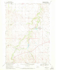
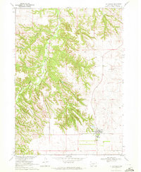
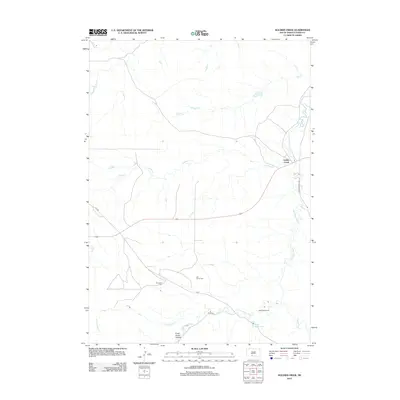
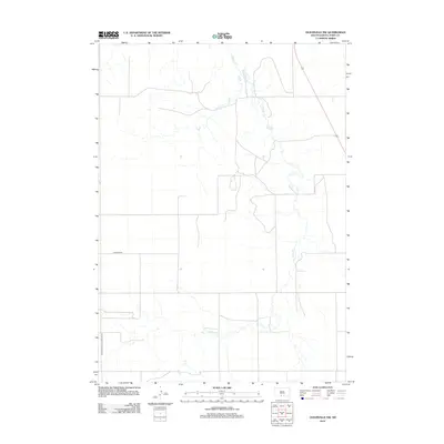
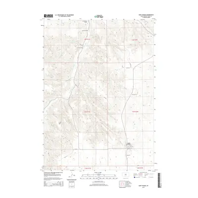
 1969 Rosebud1972 Print · USGSThe community of Rosebud is shown in detail during the late 1960s as the heart of the Rosebud Indian Reservation. Researchers can locate significant landmarks including the Spotted Tail Cem, the Paulhamous Landing Area, and Indian Scout Lake.
 - 1969 Map of St. Francis, 1972 Print
 1969 St. Francis1972 Print · USGSThe Rosebud Indian Reservation in the late sixties is centered here on the settlement of St Francis. Researchers can trace the community layout of the time through the Mission Sch, Immaculate Conception Ch, and the rugged topography of Crazy Horse Canyon.
 - 1982 Map of Mission, 1983 Print
 1982 Mission1983 Print · USGSThe Rosebud Reservation in the early eighties shows a landscape of plains communities and aviation outposts. Genealogists and researchers can trace local centers like Mission, Rosebud, and St Francis, or locate family landmarks near Antelope Lake and the Keya Paha River.
 - 1983 Map of Martin
 1983 Martin1983 Print · USGSBennett County and the neighboring tribal lands appear here in the early eighties as a network of High Plains settlements and conservation areas. Researchers can trace tribal boundaries and local genealogy through sites like Pine Ridge Indian Reservation, Long Valley, and Arnold Ranch.
 - 2012 Map of Parmelee, 2012 Print
 2012 Parmelee2012 Print · USGSCovers Rosebud, including Grass Mountain Segment, He Dog, and other nearby areas
 - 2012 Map of Soldier Creek SE, 2012 Print
 2012 Soldier Creek SE2012 Print · USGSCovers Rosebud, including Antelope Segment, Ring Thunder Segment, and other nearby areas
 - 2012 Map of Soldier Creek, 2012 Print
 2012 Soldier Creek2012 Print · USGSCovers Rosebud, including Grass Mountain Segment, Soldier Creek, and other nearby areas
 - 2012 Map of Rosebud, 2012 Print
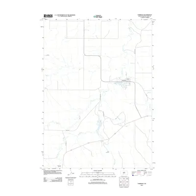
 2012 Rosebud2012 Print · USGSCovers Rosebud, including St. Francis Segment, Two Strike Segment, and other nearby areas
 - 2012 Map of Mission, 2012 Print
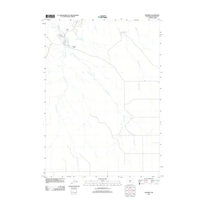
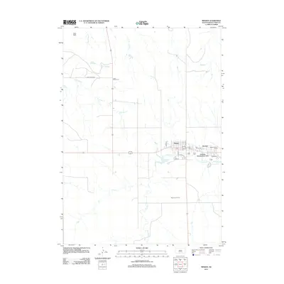 2012 Mission2012 Print · USGSCovers Rosebud, including Mission, Antelope Segment, and other nearby areas
 - 2012 Map of Saint Francis, 2012 Print
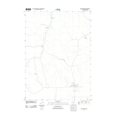 2012 Saint Francis2012 Print · USGSCovers Rosebud, including St. Francis Segment, Two Strike Segment, and other nearby areas
 - 2012 Map of Olsonville NW, 2012 Print
 2012 Olsonville NW2012 Print · USGSCovers Rosebud, including Antelope Segment, St. Francis Segment, and other nearby areas
 - 2015 Map of Olsonville NW, 2015 Print
 2015 Olsonville NW2015 Print · USGSCovers Rosebud, including Antelope Segment, St. Francis Segment, and other nearby areas
 - 2015 Map of Soldier Creek SE, 2015 Print
 2015 Soldier Creek SE2015 Print · USGSCovers Rosebud, including Antelope Segment, Ring Thunder Segment, and other nearby areas
 - 2015 Map of Mission, 2015 Print
 2015 Mission2015 Print · USGSCovers Rosebud, including Mission, Antelope Segment, and other nearby areas
 - 2015 Map of Saint Francis, 2015 Print
 2015 Saint Francis2015 Print · USGSCovers Rosebud, including St. Francis Segment, Two Strike Segment, and other nearby areas
 - 2015 Map of Rosebud, 2015 Print
 2015 Rosebud2015 Print · USGSCovers Rosebud, including St. Francis Segment, Two Strike Segment, and other nearby areas
 - 2015 Map of Soldier Creek, 2015 Print
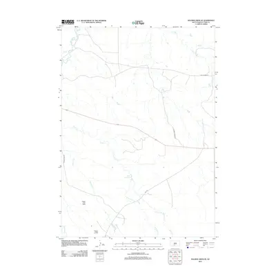
 2015 Soldier Creek2015 Print · USGSCovers Rosebud, including Grass Mountain Segment, Soldier Creek, and other nearby areas
 - 2015 Map of Parmelee, 2015 Print
 2015 Parmelee2015 Print · USGSCovers Rosebud, including Grass Mountain Segment, He Dog, and other nearby areas
Showing maps 1-25 of 39
Top cities near Rosebud
Frequently asked questions
- What are the different types of historical maps available for Rosebud?
- What is the oldest map of Rosebud?
- Where can I purchase historical maps of Rosebud for my home or office?
- Where can I download high-res historical maps of Rosebud?
- Are there historical topographic maps available for Rosebud?
- Is there historical aerial imagery available for Rosebud?
- Where are historical maps of Rosebud sourced from?