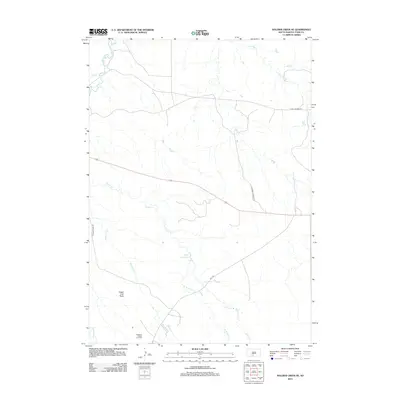
2012 Map of Soldier Creek SE
USGS Topo · Published 2012About this map
Rosebud Rodeo Grounds sits at the southern edge of this landscape in Todd County, serving as a focal point for the local community amidst the drainages of the Rosebud Reservation. The terrain is defined by a network of waterways including Soldier Cr and its tributary, W Br Soldier Cr, which flow through the center of the sheet toward the White River in the northwest. Notable landforms like Sugar Loaf Butte rise above the surrounding prairies, providing distinct navigational landmarks for the region.
Find a feature on this map
14 named features on this map. Tap any name to fly to it.
Don’t see what you’re looking for? This feature index may not catch every label — zoom into the map to look around manually.
Map Details
Editions of this 2012 Soldier Creek SE Map
This is the sole edition of this map. No revisions or reprints were ever made.
Other maps of this area

1955 · Martin
USGS Topo · 1:250,000

1958 · Martin
USGS Topo · 1:250,000

1969 · Soldier Creek NE
USGS Topo · 1:24,000

1969 · Soldier Creek
USGS Topo · 1:24,000

1969 · Mission NW
USGS Topo · 1:24,000

1969 · Mission
USGS Topo · 1:24,000

1969 · Soldier Creek NW
USGS Topo · 1:24,000

1969 · Soldier Creek SE
USGS Topo · 1:24,000

1969 · Olsonville NW
USGS Topo · 1:24,000

1969 · Rosebud
USGS Topo · 1:24,000