2000s (21st Century) Maps of Centerville Township, South Dakota
Explore 16 historic maps of Centerville Township from the 2000s (21st Century). These maps offer a rare glimpse into what life looked like during the 2000s — showing old roads, neighborhoods, homes, and landmarks that have changed or disappeared over time.
Whether you're researching your family's past, planning a metal detecting trip, or studying how Centerville Township's landscape evolved across the 2000s, these high-resolution maps are a powerful tool for exploring the history of this region.
- Focus on a specific era: All maps on this page are from the 2000s, giving you a focused view of this time period.
- See what’s changed: Compare century-old streets, trails, and buildings to today's modern landscape using overlays and satellite layers.
- Research with precision: Use these maps for genealogy, historical research, land use analysis, or educational projects.
- View, download, or print: Maps are fully viewable online in high resolution, and can be downloaded or printed for your own records.
Start exploring Centerville Township's history through authentic maps from the 2000s. This is your window into the past.
Centerville Township, SD maps
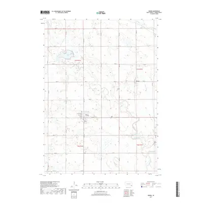
(16)- 2012 Map of Wakonda, 2012 Print
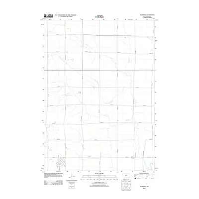 2012 Wakonda2012 Print · USGSCovers Centerville Township, including Wakonda, Riverside Township, and other nearby areas
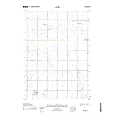
 - 2012 Map of Viborg, 2012 Print
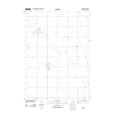 2012 Viborg2012 Print · USGSCovers Centerville Township, including Viborg, Turner Township, and other nearby areas
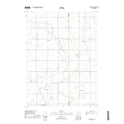
 - 2012 Map of Beresford NW, 2012 Print
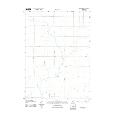 2012 Beresford NW2012 Print · USGSCovers Centerville Township, including Turner Township, Brooklyn Township, and other nearby areas
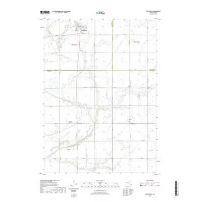
 - 2012 Map of Centerville, 2012 Print
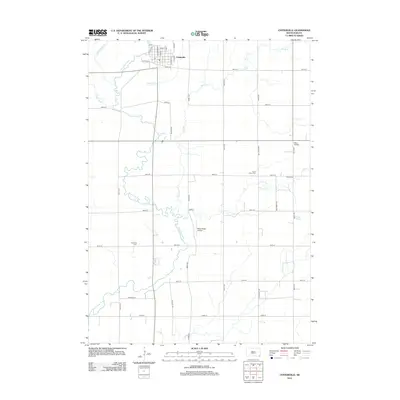 2012 Centerville2012 Print · USGSCovers Centerville Township, including Centerville, Riverside Township, and other nearby areas
 - 2015 Map of Beresford NW, 2015 Print
 2015 Beresford NW2015 Print · USGSCovers Centerville Township, including Turner Township, Brooklyn Township, and other nearby areas
 - 2015 Map of Centerville, 2015 Print
 2015 Centerville2015 Print · USGSCovers Centerville Township, including Centerville, Riverside Township, and other nearby areas
 - 2015 Map of Viborg, 2015 Print
 2015 Viborg2015 Print · USGSCovers Centerville Township, including Viborg, Turner Township, and other nearby areas
 - 2015 Map of Wakonda, 2015 Print
 2015 Wakonda2015 Print · USGSCovers Centerville Township, including Wakonda, Riverside Township, and other nearby areas
 - 2017 Map of Viborg, 2017 Print
 2017 Viborg2017 Print · USGSCovers Centerville Township, including Viborg, Turner Township, and other nearby areas
 - 2017 Map of Wakonda, 2017 Print
 2017 Wakonda2017 Print · USGSCovers Centerville Township, including Wakonda, Riverside Township, and other nearby areas
 - 2017 Map of Beresford NW, 2017 Print
 2017 Beresford NW2017 Print · USGSCovers Centerville Township, including Turner Township, Brooklyn Township, and other nearby areas
 - 2017 Map of Centerville, 2017 Print
 2017 Centerville2017 Print · USGSCovers Centerville Township, including Centerville, Riverside Township, and other nearby areas
 - 2021 Map of Beresford NW, 2021 Print
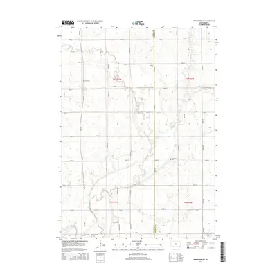
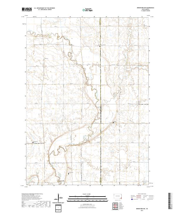 2021 Beresford NW2021 Print · USGSCenterville and the surrounding Turner County prairies are documented here during the early twenty-first century. Researchers can trace the winding Vermillion River and locate several historic cemeteries, including Melhus Cem and Riverview Cem.
 - 2021 Map of Viborg, 2021 Print
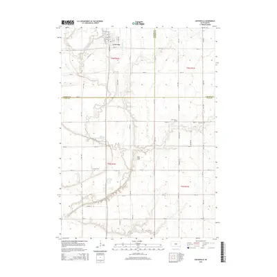
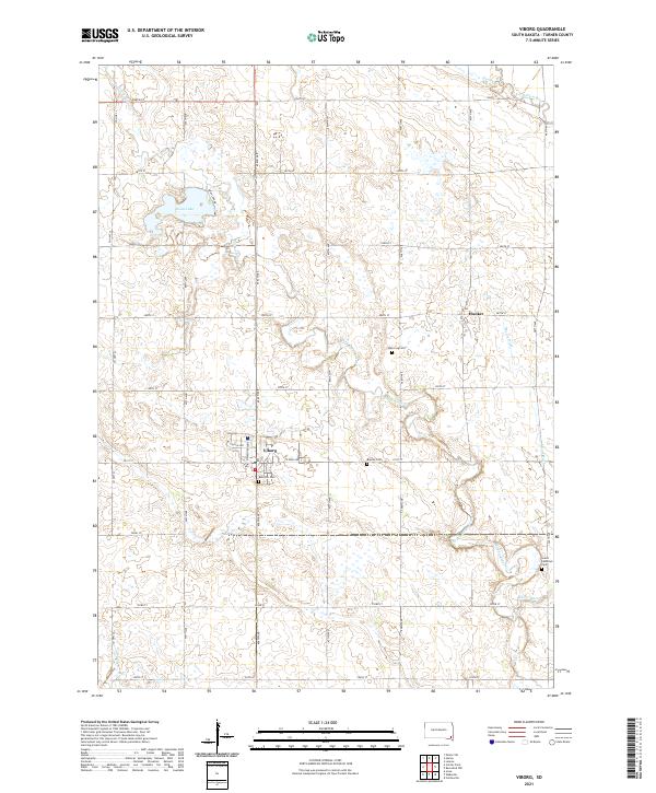 2021 Viborg2021 Print · USGSViborg and its surrounding prairie landscape are shown here in the early 2020s, dominated by a vast grid of section roads and drainage networks. Genealogists and local historians can trace family roots through sites like Rose Hill Cem, Hooker, and the namesake waters of Swan Lake.
 - 2021 Map of Wakonda, 2021 Print
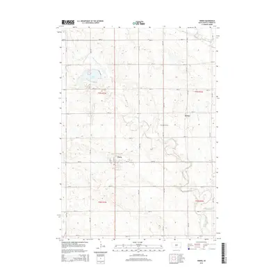
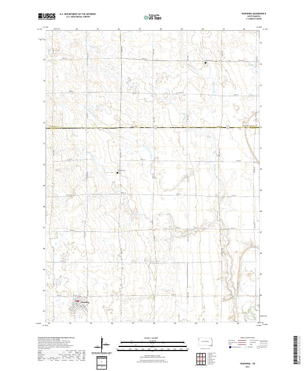 2021 Wakonda2021 Print · USGSThe rural agricultural heart of Clay and Turner Counties is captured here in the early twenty-first century. Researchers can locate specific family plots and property lines using the grid of country roads near Wakonda and the Holland Cem.
 - 2021 Map of Centerville, 2021 Print
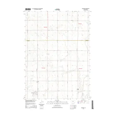
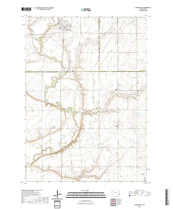 2021 Centerville2021 Print · USGSThe community of Centerville and the surrounding prairie are captured here during the early 2020s. Genealogists and local historians can locate several rural burial sites, including Komstad Cem and Hovde Cem, while tracing the path of the Vermillion River.
End of results
Showing maps 1-16 of 16
Top cities near Centerville Township
- Lennox historical maps
- Beresford historical maps
- Worthing historical maps
- Centerville historical maps
- Viborg historical maps
- Hurley historical maps
See more
Top neighborhoods of Centerville Township
Frequently asked questions
- What are the different types of historical maps available for Centerville Township?
- What is the oldest map of Centerville Township?
- Where can I purchase historical maps of Centerville Township for my home or office?
- Where can I download high-res historical maps of Centerville Township?
- Are there historical topographic maps available for Centerville Township?
- Is there historical aerial imagery available for Centerville Township?
- Where are historical maps of Centerville Township sourced from?