2000s (21st Century) Maps of Lesterville Township, South Dakota
Explore 16 historic maps of Lesterville Township from the 2000s (21st Century). These maps offer a rare glimpse into what life looked like during the 2000s — showing old roads, neighborhoods, homes, and landmarks that have changed or disappeared over time.
Whether you're researching your family's past, planning a metal detecting trip, or studying how Lesterville Township's landscape evolved across the 2000s, these high-resolution maps are a powerful tool for exploring the history of this region.
- Focus on a specific era: All maps on this page are from the 2000s, giving you a focused view of this time period.
- See what’s changed: Compare century-old streets, trails, and buildings to today's modern landscape using overlays and satellite layers.
- Research with precision: Use these maps for genealogy, historical research, land use analysis, or educational projects.
- View, download, or print: Maps are fully viewable online in high resolution, and can be downloaded or printed for your own records.
Start exploring Lesterville Township's history through authentic maps from the 2000s. This is your window into the past.
Lesterville Township, SD maps
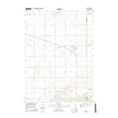
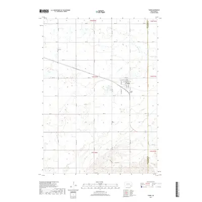
(16)- 2012 Map of Tabor, 2012 Print
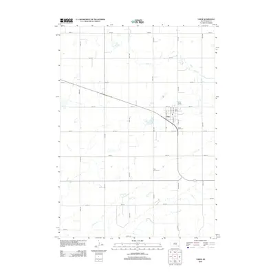 2012 Tabor2012 Print · USGSCovers Lesterville Township, including Tabor, Ziskov South Township, and other nearby areas
 - 2012 Map of Tabor NE, 2012 Print
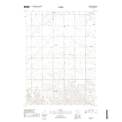
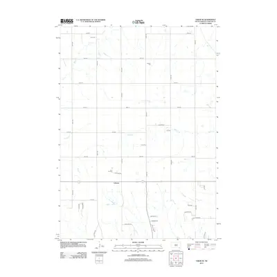 2012 Tabor NE2012 Print · USGSCovers Lesterville Township, including Utica, Utica South Township, and other nearby areas
 - 2012 Map of Lesterville, 2012 Print
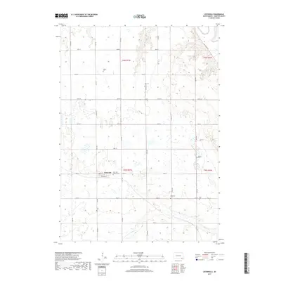
 2012 Lesterville2012 Print · USGSCovers Lesterville Township, including Lesterville, Odessa Township, and other nearby areas
 - 2012 Map of Kloucek Lake, 2012 Print
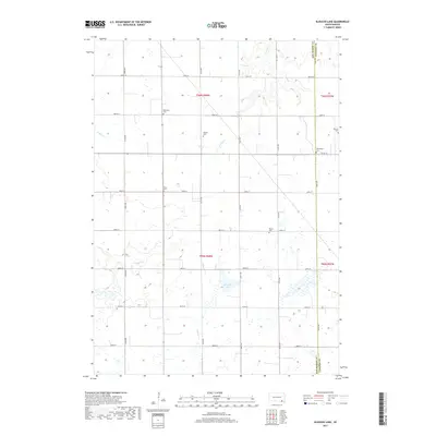
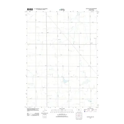 2012 Kloucek Lake2012 Print · USGSCovers Lesterville Township, including Odessa Township, Scotland Township, and other nearby areas
 - 2015 Map of Tabor, 2015 Print
 2015 Tabor2015 Print · USGSCovers Lesterville Township, including Tabor, Ziskov South Township, and other nearby areas
 - 2015 Map of Tabor NE, 2015 Print
 2015 Tabor NE2015 Print · USGSCovers Lesterville Township, including Utica, Utica South Township, and other nearby areas
 - 2015 Map of Lesterville, 2015 Print
 2015 Lesterville2015 Print · USGSCovers Lesterville Township, including Lesterville, Odessa Township, and other nearby areas
 - 2015 Map of Kloucek Lake, 2015 Print
 2015 Kloucek Lake2015 Print · USGSCovers Lesterville Township, including Odessa Township, Scotland Township, and other nearby areas
 - 2017 Map of Lesterville, 2017 Print
 2017 Lesterville2017 Print · USGSCovers Lesterville Township, including Lesterville, Odessa Township, and other nearby areas
 - 2017 Map of Kloucek Lake, 2017 Print
 2017 Kloucek Lake2017 Print · USGSCovers Lesterville Township, including Odessa Township, Scotland Township, and other nearby areas
 - 2017 Map of Tabor, 2017 Print
 2017 Tabor2017 Print · USGSCovers Lesterville Township, including Tabor, Ziskov South Township, and other nearby areas
 - 2017 Map of Tabor NE, 2017 Print
 2017 Tabor NE2017 Print · USGSCovers Lesterville Township, including Utica, Utica South Township, and other nearby areas
 - 2021 Map of Tabor NE, 2021 Print
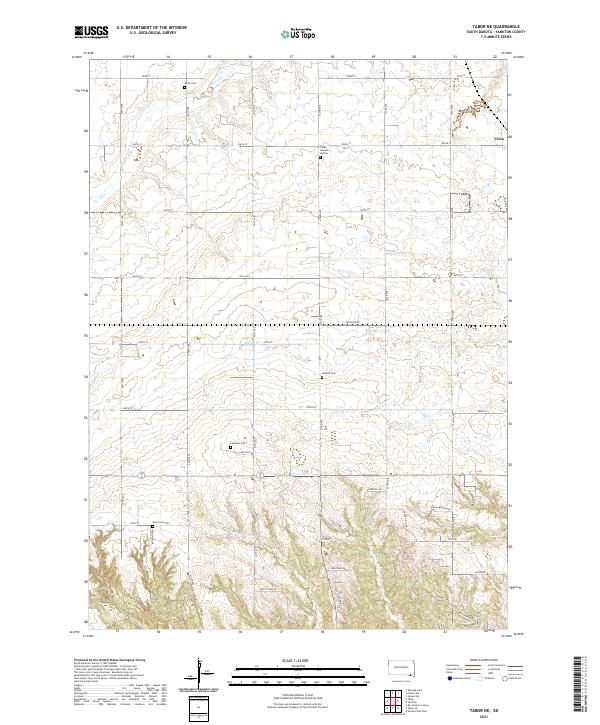 2021 Tabor NE2021 Print · USGSYankton County at the start of the 2020s shows a landscape deeply rooted in its agricultural and ethnic heritage. Genealogists can trace family footprints through numerous rural burial sites including Cesko Narodni Hrbitov, Polish Cem, and Lakeport Cem.
 - 2021 Map of Tabor, 2021 Print
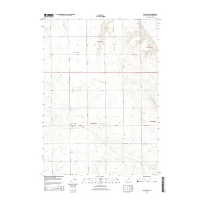
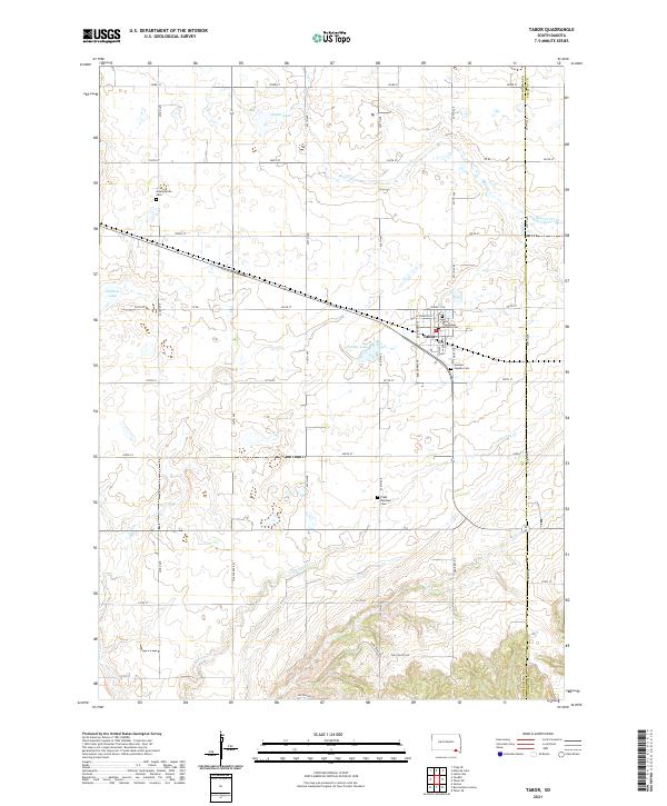 2021 Tabor2021 Print · USGSTabor and the surrounding Bon Homme County countryside are documented here in the early twenty-first century. Genealogists and local historians can trace family roots through numerous burial sites like Saint Wenceslaus Catholic Cem and Ptaks National Cem.
 - 2021 Map of Lesterville, 2021 Print
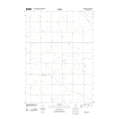
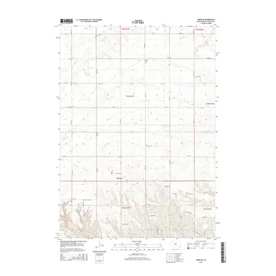
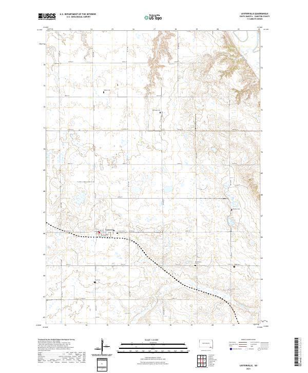 2021 Lesterville2021 Print · USGSYankton County farmland remains defined by its pioneer roots in this recent survey of the James River valley. Genealogists can locate numerous small burial grounds including Hoffnung Cem, Beadleston Cem, and Saint John's Lutheran Cem near Lesterville.
 - 2021 Map of Kloucek Lake, 2021 Print
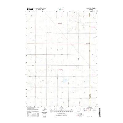
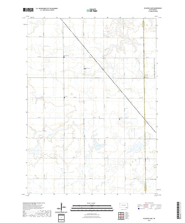 2021 Kloucek Lake2021 Print · USGSBon Homme County at the start of the 2020s remains a landscape of traditional section lines and prairie waterways. Genealogists can trace family heritage through preserved sites like Ebenezer Cem, Worms Cem, and the shores of Kloucek Lake.
End of results
Showing maps 1-16 of 16
Top cities near Lesterville Township
- Yankton historical maps
- Scotland historical maps
- Menno historical maps
- Tabor historical maps
- Lesterville historical maps
- Jamesville historical maps
See more
Top neighborhoods of Lesterville Township
Frequently asked questions
- What are the different types of historical maps available for Lesterville Township?
- What is the oldest map of Lesterville Township?
- Where can I purchase historical maps of Lesterville Township for my home or office?
- Where can I download high-res historical maps of Lesterville Township?
- Are there historical topographic maps available for Lesterville Township?
- Is there historical aerial imagery available for Lesterville Township?
- Where are historical maps of Lesterville Township sourced from?