Old Maps of Ziskov South Township, South Dakota for Academic Research
Study the evolution of Ziskov South Township with 24 high-resolution historic maps. Whether you're teaching, researching, or modeling changes in land use, these maps provide essential visual documentation of urban, environmental, and geographic change.
- Analyze long-term change: Track patterns in development, transportation, and natural features.
- Ideal for environmental or urban studies: Support academic projects with primary historical map data.
- Use in the classroom or lab: Educators and researchers rely on these maps to bring historical context to life.
These maps are a powerful tool for teaching, research, and visualizing how Ziskov South Township has changed over the decades.
Ziskov South Township, SD maps
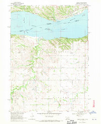
(24)- 1955 Map of Sioux City, 1959 Print
 1955 Sioux City1959 Print · USGSThe Missouri River valley in the mid-fifties is captured here during a time of major engineering and social transition. Genealogists and historians can trace the foundations of Gavins Point Dam, tribal boundaries on the Santee Sioux Indian Reservation, and local landmarks like the Norfolk State Hospital.4 unique versions available
 - 1958 Map of Sioux City
 1958 Sioux City1958 Print · USGSThe Missouri River valley in the late fifties was a bustling intersection of tribal lands, rail corridors, and river towns. Genealogists can trace family roots through specific rural sites like Daisy Valley School, St Johns Church and School, and Yankton State Hospital.
 - 1959 Map of Sioux City
 1959 Sioux City1959 Print · USGSThe tri-state region surrounding the Missouri River is captured here in the late fifties, showing the convergence of Nebraska, South Dakota, and Iowa. Researchers can trace rural lineages through numerous country schoolhouses like Cemetery School and the many numbered Washington School districts.
 - 1968 Map of Tabor SE, 1970 Print
 1968 Tabor SE1970 Print · USGSKnox County, Nebraska, and Yankton County, South Dakota, meet here at the edge of the Missouri River in the late sixties. Researchers can trace rural landmarks like Frankfort Cem, the West Blyville Sch, and the Fort Yankton Historic Site.2 unique versions available
 - 1974 Map of Bon Homme Colony, 1979 Print
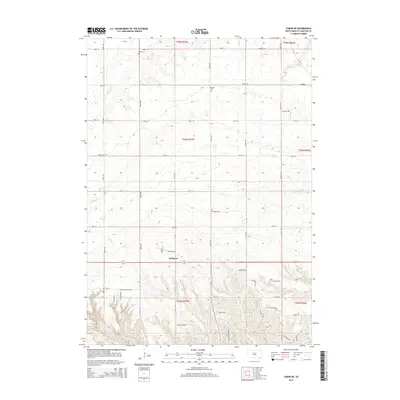
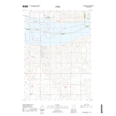
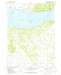 1974 Bon Homme Colony1979 Print · USGSThe Missouri River and Lewis and Clark Lake define this borderland during the mid-seventies, spanning the South Dakota and Nebraska state line. Researchers can trace the Bon Homme Colony, locate the Holy Faith Cem, and explore the topography of the Santee Indian Reservation.
 - 1978 Map of Tabor NE, 1979 Print
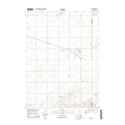
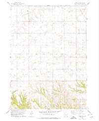 1978 Tabor NE1979 Print · USGSYankton County's agricultural heartland is documented here in the late seventies, showing the rural settlements and rail infrastructure of the era. Researchers can trace family history through several local burial sites like Polish Cem and Nedved Cem, or follow the Chicago Milwaukee St Paul and Pacific line to Utica.
 - 1978 Map of Tabor, 1979 Print
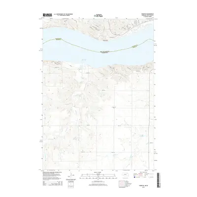
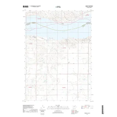
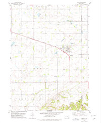 1978 Tabor1979 Print · USGSThe town of Tabor is captured in the late 1970s at the intersection of prairie agriculture and the Milwaukee Road railroad. Researchers can locate family landmarks like Hvezda Zapadu Cem, Ptaks National Cem, and the shores of Kubal Lake.
 - 1985 Map of Yankton
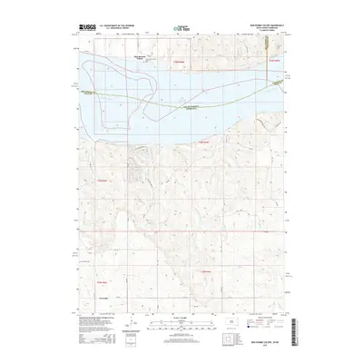
 1985 Yankton1985 Print · USGSThe Missouri River borderlands of South Dakota and Nebraska come alive in this mid-eighties survey, centered on the newly created Lewis and Clark Lake. Researchers can trace the Santee Indian Reservation and locate historic river features like the St Helena Island Chute and Sand Island.2 unique versions available
 - 2011 Map of Tabor SE, 2011 Print
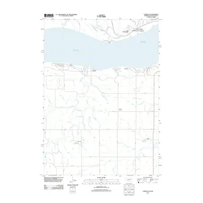 2011 Tabor SE2011 Print · USGSCovers Ziskov South Township, including Northshore Development, Kohles Acres Area, and other nearby areas
 - 2012 Map of Tabor, 2012 Print
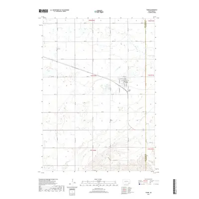
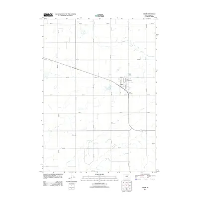 2012 Tabor2012 Print · USGSCovers Ziskov South Township, including Tabor, Little Tabor Township, and other nearby areas
 - 2012 Map of Bon Homme Colony, 2012 Print
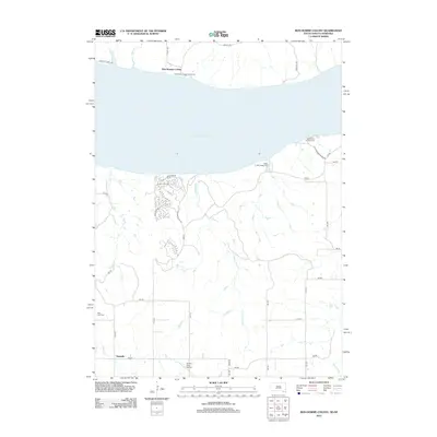 2012 Bon Homme Colony2012 Print · USGSCovers Ziskov South Township, including Little Tabor Township, Tewsville, and other nearby areas
 - 2012 Map of Tabor NE, 2012 Print
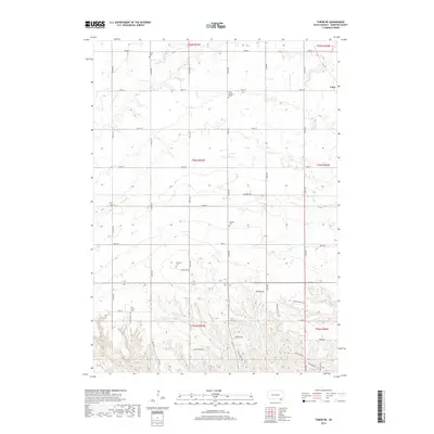
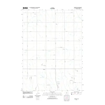 2012 Tabor NE2012 Print · USGSCovers Ziskov South Township, including Utica, Utica South Township, and other nearby areas
 - 2014 Map of Tabor SE, 2014 Print
 2014 Tabor SE2014 Print · USGSCovers Ziskov South Township, including Northshore Development, Kohles Acres Area, and other nearby areas
 - 2015 Map of Tabor, 2015 Print
 2015 Tabor2015 Print · USGSCovers Ziskov South Township, including Tabor, Little Tabor Township, and other nearby areas
 - 2015 Map of Tabor NE, 2015 Print
 2015 Tabor NE2015 Print · USGSCovers Ziskov South Township, including Utica, Utica South Township, and other nearby areas
 - 2015 Map of Bon Homme Colony, 2015 Print
 2015 Bon Homme Colony2015 Print · USGSCovers Ziskov South Township, including Little Tabor Township, Tewsville, and other nearby areas
 - 2017 Map of Tabor SE, 2017 Print
 2017 Tabor SE2017 Print · USGSCovers Ziskov South Township, including Northshore Development, Kohles Acres Area, and other nearby areas
 - 2017 Map of Tabor, 2017 Print
 2017 Tabor2017 Print · USGSCovers Ziskov South Township, including Tabor, Little Tabor Township, and other nearby areas
 - 2017 Map of Tabor NE, 2017 Print
 2017 Tabor NE2017 Print · USGSCovers Ziskov South Township, including Utica, Utica South Township, and other nearby areas
 - 2017 Map of Bon Homme Colony, 2017 Print
 2017 Bon Homme Colony2017 Print · USGSCovers Ziskov South Township, including Little Tabor Township, Tewsville, and other nearby areas
 - 2021 Map of Tabor NE, 2021 Print
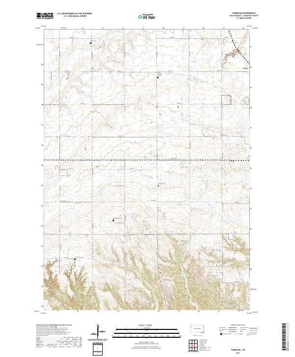 2021 Tabor NE2021 Print · USGSYankton County at the start of the 2020s shows a landscape deeply rooted in its agricultural and ethnic heritage. Genealogists can trace family footprints through numerous rural burial sites including Cesko Narodni Hrbitov, Polish Cem, and Lakeport Cem.
 - 2021 Map of Tabor, 2021 Print
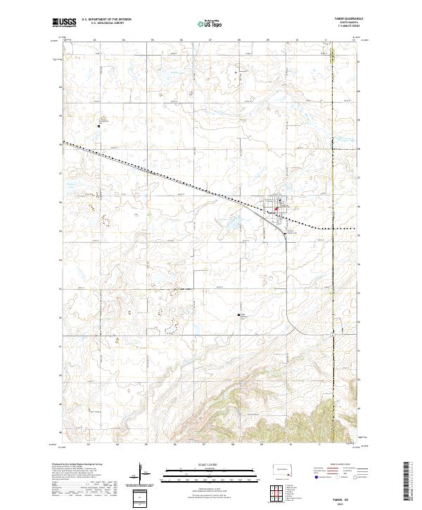 2021 Tabor2021 Print · USGSTabor and the surrounding Bon Homme County countryside are documented here in the early twenty-first century. Genealogists and local historians can trace family roots through numerous burial sites like Saint Wenceslaus Catholic Cem and Ptaks National Cem.
 - 2021 Map of Bon Homme Colony, 2021 Print
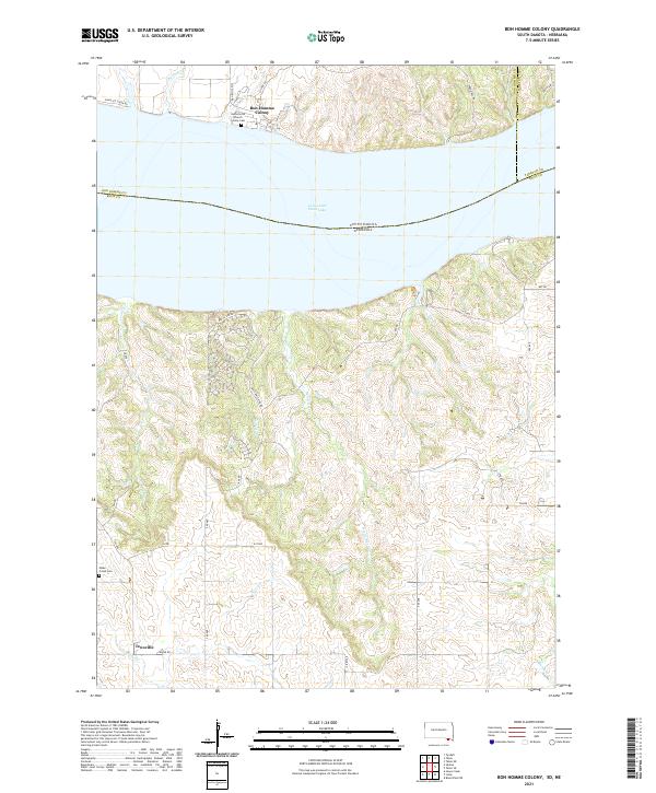 2021 Bon Homme Colony2021 Print · USGSThe South Dakota and Nebraska borderlands are captured here in the 2020s, centered on the Missouri River's Lewis and Clark Lake. Researchers can trace the communal grounds of Bon Homme Colony or locate the rural Tewsville settlement and Hobo Creek Cem.
 - 2021 Map of Tabor SE, 2021 Print
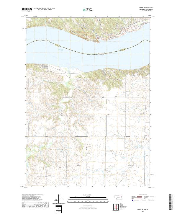 2021 Tabor SE2021 Print · USGSKnox County, Nebraska, and the Missouri River shoreline appear here in the early 2020s as a landscape of recreational transition and rural endurance. Trace the local geography from the Frankfort Cem to the modern paths of the Chalk Bluffs Multi-Use Trl.
End of results
Showing maps 1-24 of 24
Top cities near Ziskov South Township
- Yankton historical maps
- Crofton historical maps
- Tabor historical maps
- Fordyce historical maps
- Lesterville historical maps
- Utica historical maps
Top neighborhoods of Ziskov South Township
- Fairview Heights historical maps
- Oak Hills Addition historical maps
- Lakeport historical maps
- Northshore Development historical maps
Frequently asked questions
- What are the different types of historical maps available for Ziskov South Township?
- What is the oldest map of Ziskov South Township?
- Where can I purchase historical maps of Ziskov South Township for my home or office?
- Where can I download high-res historical maps of Ziskov South Township?
- Are there historical topographic maps available for Ziskov South Township?
- Is there historical aerial imagery available for Ziskov South Township?
- Where are historical maps of Ziskov South Township sourced from?