Old Maps of Henderson, Tennessee
Explore 15 old maps of Henderson, spanning from 1956 to today. These high-resolution historic maps reveal how streets, neighborhoods, landmarks, and natural features evolved over time — perfect for genealogy, metal detecting, research, and local history exploration.
What you can do with these maps:
- See how Henderson changed over time: Compare historical maps to modern-day views to trace roads, homesites, rail lines & more.
- View detailed metadata: Each map includes creators, publishers, year, scale, and archive source.
- Overlay maps with satellite & LiDAR: Visualize the past alongside modern tools to explore terrain & human change.
- Trusted historical sources: Maps sourced from the USGS, Library of Congress, and other archives.
- Access maps your way: View online, download high-res files, or order prints for personal or research use.
Start exploring old maps of Henderson to uncover forgotten places, hidden landmarks, and the deep history beneath your feet.
Henderson, TN maps
(15)- 1956 Map of Blytheville, 1964 Print
 1956 Blytheville1964 Print · USGSWest Tennessee and the Arkansas Delta come alive in this mid-century survey of the river-and-rail corridor connecting Memphis to Jackson. Genealogists and historians can trace the rail lines of the Louisville and Nashville RR and locate landmarks like Western State Hospital or Fort Pillow State Prison Farm.2 unique versions available
 - 1959 Map of Blytheville
 1959 Blytheville1959 Print · USGSWest Tennessee and Northeast Arkansas meet along the river in the late fifties, during a period of steady industrial and agricultural growth. Genealogists can trace the rail corridors of the Illinois Central through Jackson or explore landmarks like Shiloh National Military Park and Fort Pillow State Prison.
 - 1961 Map of Henderson, 1964 Print
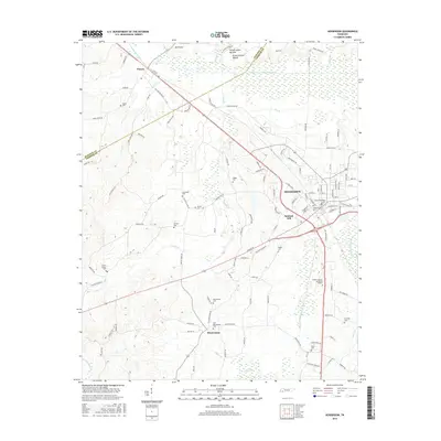
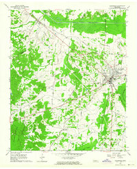 1961 Henderson1964 Print · USGSChester County at the dawn of the 1960s shows a landscape of established rail towns and significant archaeological sites. Researchers can locate family landmarks such as Montezuma Cem and Rogers Cem or trace the early campus footprint of Freed Hardeman College.3 unique versions available
 - 1961 Map of Jacks Creek, 1964 Print
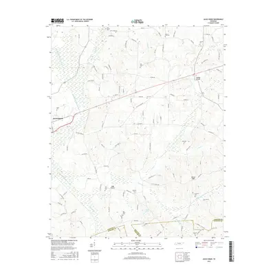
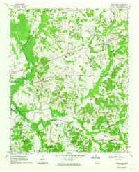 1961 Jacks Creek1964 Print · USGSWest Tennessee hill country and river bottoms are captured here in the early sixties, showing the rural crossroads of Chester and Henderson Counties. Genealogists can trace family footprints at Holly Springs Ch, the Gibson Rosenwald Sch, or the small settlement of Sweet Lips.2 unique versions available
 - 1986 Map of Selmer
 1986 Selmer1986 Print · USGSThe Tennessee River valley and the West Tennessee highlands come into focus in the mid-eighties, showing the region's unique intersection of Civil War history and modern infrastructure. Genealogists and researchers can trace family landmarks like Gillisses Mills, the campus of Freed-Hardeman College, and the hallowed grounds of Shiloh National Military Park.3 unique versions available
 - 2010 Map of Henderson, 2010 Print
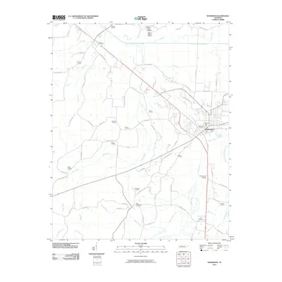 2010 Henderson2010 Print · USGSCovers Henderson, including Sanford Hill, Pinson, and other nearby areas
 - 2010 Map of Jacks Creek, 2010 Print
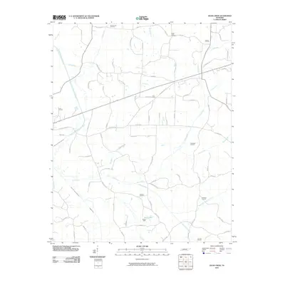 2010 Jacks Creek2010 Print · USGSCovers Henderson, including Jacks Creek, Oak Grove, and other nearby areas
 - 2013 Map of Henderson, 2013 Print
 2013 Henderson2013 Print · USGSCovers Henderson, including Sanford Hill, Pinson, and other nearby areas
 - 2013 Map of Jacks Creek, 2013 Print
 2013 Jacks Creek2013 Print · USGSCovers Henderson, including Jacks Creek, Oak Grove, and other nearby areas
 - 2016 Map of Henderson, 2016 Print
 2016 Henderson2016 Print · USGSCovers Henderson, including Sanford Hill, Pinson, and other nearby areas
 - 2016 Map of Jacks Creek, 2016 Print
 2016 Jacks Creek2016 Print · USGSCovers Henderson, including Jacks Creek, Oak Grove, and other nearby areas
 - 2019 Map of Henderson, 2019 Print
 2019 Henderson2019 Print · USGSCovers Henderson, including Sanford Hill, Pinson, and other nearby areas
 - 2019 Map of Jacks Creek, 2019 Print
 2019 Jacks Creek2019 Print · USGSCovers Henderson, including Jacks Creek, Oak Grove, and other nearby areas
 - 2022 Map of Jacks Creek, 2022 Print
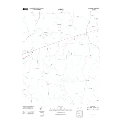
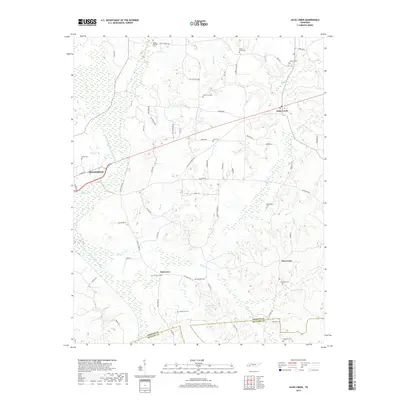
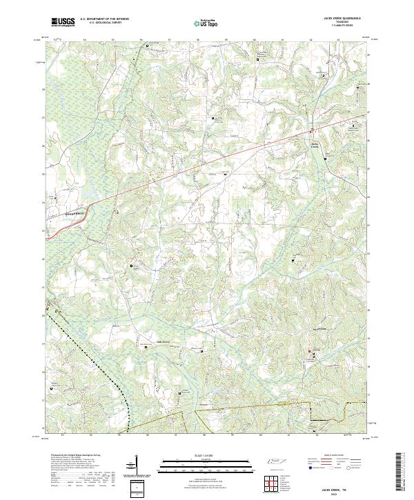 2022 Jacks Creek2022 Print · USGSChester County at the start of the 2020s shows a landscape of enduring rural communities and family-named landmarks. Genealogists and local historians can trace legacy sites like Sweet Lips, Beech Springs Cem, and the Jacks Creek Apostolic Cem.
 - 2022 Map of Henderson, 2022 Print
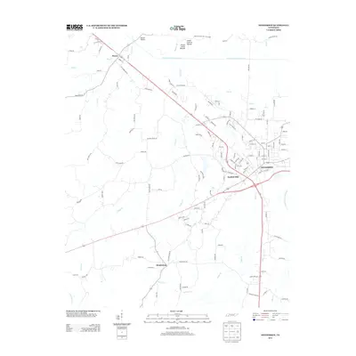
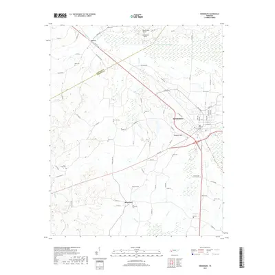
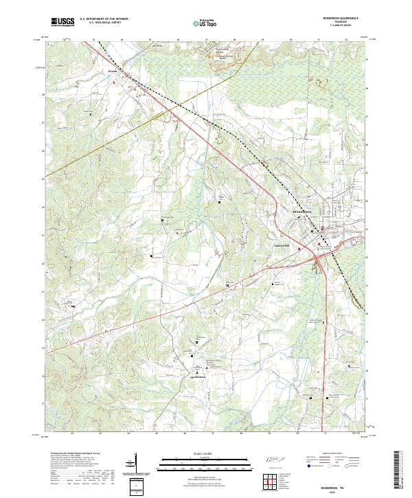 2022 Henderson2022 Print · USGSHenderson and the surrounding Chester County countryside are mapped here in the early 2020s, showing the intersection of ancient history and modern life. Researchers can locate dozens of family and community sites like Old Montezuma Cem, the Pinson Indian Mounds, and Freed-Hardeman University.
End of results
Showing maps 1-15 of 15
Top cities near Henderson
- Jackson historical maps
- Lexington historical maps
- Adamsville historical maps
- Bethel Springs historical maps
- Finger historical maps
- Hornsby historical maps
See more
Top neighborhoods of Henderson
Frequently asked questions
- What are the different types of historical maps available for Henderson?
- What is the oldest map of Henderson?
- Where can I purchase historical maps of Henderson for my home or office?
- Where can I download high-res historical maps of Henderson?
- Are there historical topographic maps available for Henderson?
- Is there historical aerial imagery available for Henderson?
- Where are historical maps of Henderson sourced from?