Old Maps of Bethel Springs, Tennessee
Explore 29 old maps of Bethel Springs, spanning from 1936 to today. These high-resolution historic maps reveal how streets, neighborhoods, landmarks, and natural features evolved over time — perfect for genealogy, metal detecting, research, and local history exploration.
What you can do with these maps:
- See how Bethel Springs changed over time: Compare historical maps to modern-day views to trace roads, homesites, rail lines & more.
- View detailed metadata: Each map includes creators, publishers, year, scale, and archive source.
- Overlay maps with satellite & LiDAR: Visualize the past alongside modern tools to explore terrain & human change.
- Trusted historical sources: Maps sourced from the USGS, Library of Congress, and other archives.
- Access maps your way: View online, download high-res files, or order prints for personal or research use.
Start exploring old maps of Bethel Springs to uncover forgotten places, hidden landmarks, and the deep history beneath your feet.
Bethel Springs, TN maps
(29)- 1936 Map of Purdy
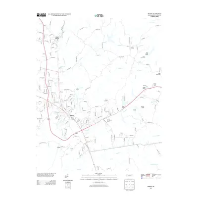
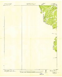 1936 Purdy1936 Print · USGSMcNairy County during the mid-thirties is documented here as the Tennessee Valley Authority began mapping the region's drainage and road networks. Researchers can trace the early path of Highway 64 and the settlement of Purdy along the Tennessee Basin Divide.
 - 1936 Map of Mt. Peter
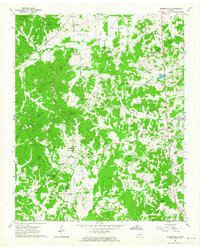
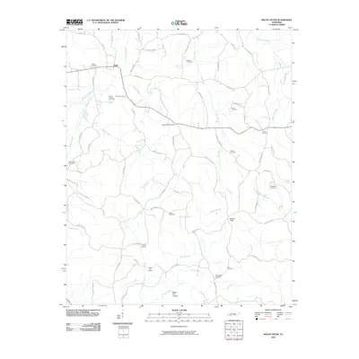
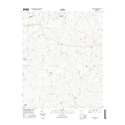
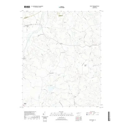
 1936 Mt. Peter1936 Print · USGSMcNairy County was undergoing significant modernization in the mid-1930s as federal power projects reached rural Tennessee. Genealogists can trace family footprints near Beauty Hill Ch, Mackey Sch, and the local Cem at Mt Peter.
 - 1949 Map of Mt. Peter, 1952 Print
 1949 Mt. Peter1952 Print · USGSMcNairy and Chester Counties are captured here in the late 1940s, showing a rural landscape defined by the Tennessee Valley Divide. Researchers can trace old rail life in Finger or locate family sites like Mackey Sch and Mt Zion Ch.2 unique versions available
 - 1949 Map of Purdy, 1952 Print
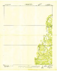
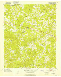
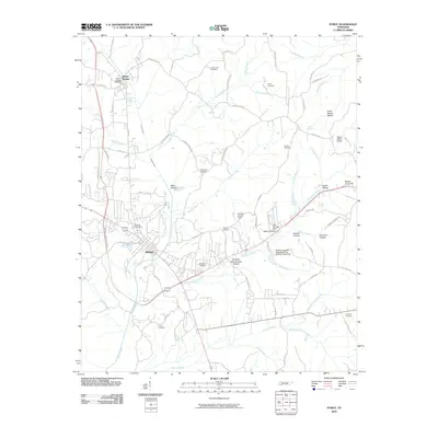
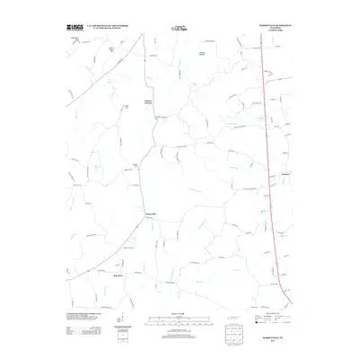
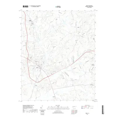
 1949 Purdy1952 Print · USGSMcNairy County's rail and ridge landscapes come alive in this mid-century survey of the Tennessee Valley Divide. Genealogists and historians can trace the routes between Selmer and Bethel Springs, or locate rural landmarks like the County Farm and Bethesda Church.3 unique versions available
 - 1951 Map of Rose Creek, 1952 Print
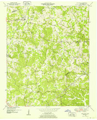
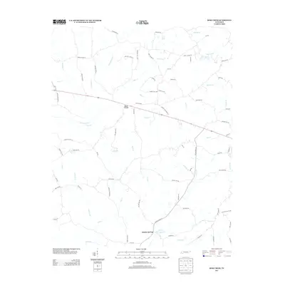
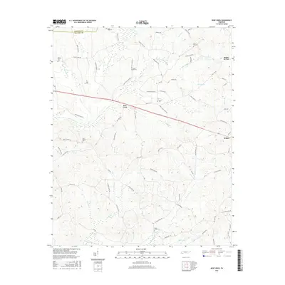
 1951 Rose Creek1952 Print · USGSMcNairy County hill country life is captured here in the early fifties, showing a landscape of small farms and creek-bottom timber. Researchers can trace rural community foundations at Prices Chapel, New Bethel Ch, and the Red Oak Sch site.3 unique versions available
 - 1956 Map of Blytheville, 1964 Print
 1956 Blytheville1964 Print · USGSWest Tennessee and the Arkansas Delta come alive in this mid-century survey of the river-and-rail corridor connecting Memphis to Jackson. Genealogists and historians can trace the rail lines of the Louisville and Nashville RR and locate landmarks like Western State Hospital or Fort Pillow State Prison Farm.2 unique versions available
 - 1959 Map of Blytheville
 1959 Blytheville1959 Print · USGSWest Tennessee and Northeast Arkansas meet along the river in the late fifties, during a period of steady industrial and agricultural growth. Genealogists can trace the rail corridors of the Illinois Central through Jackson or explore landmarks like Shiloh National Military Park and Fort Pillow State Prison.
 - 1961 Map of Masseyville, 1964 Print
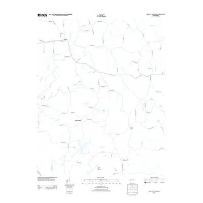
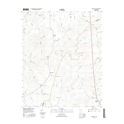
 1961 Masseyville1964 Print · USGSThe rural borderlands of Chester and McNairy Counties are captured here in the early 1960s, showing a landscape of timbered hills and creek bottoms. Genealogists can trace family landmarks across Hickory Corners, find Warble Cem, or locate the Old Friendship Sch near the Hatchie River.
 - 1986 Map of Selmer
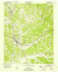
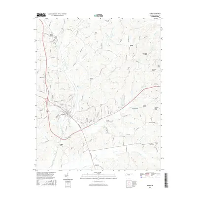
 1986 Selmer1986 Print · USGSThe Tennessee River valley and the West Tennessee highlands come into focus in the mid-eighties, showing the region's unique intersection of Civil War history and modern infrastructure. Genealogists and researchers can trace family landmarks like Gillisses Mills, the campus of Freed-Hardeman College, and the hallowed grounds of Shiloh National Military Park.3 unique versions available
 - 2010 Map of Masseyville, 2010 Print
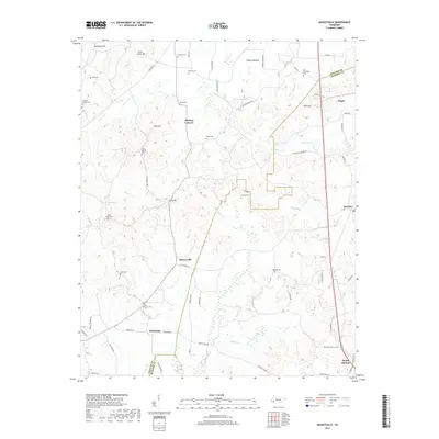
 2010 Masseyville2010 Print · USGSCovers Bethel Springs, including Finger, McNairy, and other nearby areas
 - 2010 Map of Rose Creek, 2010 Print
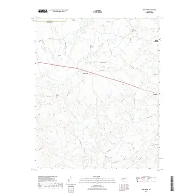
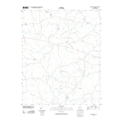 2010 Rose Creek2010 Print · USGSCovers Bethel Springs, including Selmer, Rose Creek, and other nearby areas
 - 2010 Map of Purdy, 2010 Print
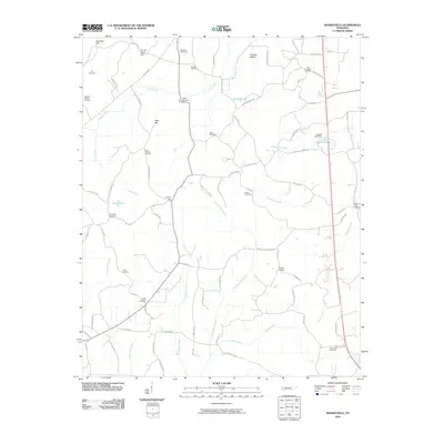
 2010 Purdy2010 Print · USGSCovers Bethel Springs, including Selmer, Eastview, and other nearby areas
 - 2010 Map of Mount Peter, 2010 Print
 2010 Mount Peter2010 Print · USGSCovers Bethel Springs, including Finger, Forty Forks, and other nearby areas
 - 2013 Map of Rose Creek, 2013 Print
 2013 Rose Creek2013 Print · USGSCovers Bethel Springs, including Selmer, Rose Creek, and other nearby areas
 - 2013 Map of Purdy, 2013 Print
 2013 Purdy2013 Print · USGSCovers Bethel Springs, including Selmer, Eastview, and other nearby areas
 - 2013 Map of Masseyville, 2013 Print
 2013 Masseyville2013 Print · USGSCovers Bethel Springs, including Finger, McNairy, and other nearby areas
 - 2013 Map of Mount Peter, 2013 Print
 2013 Mount Peter2013 Print · USGSCovers Bethel Springs, including Finger, Forty Forks, and other nearby areas
 - 2016 Map of Mount Peter, 2016 Print
 2016 Mount Peter2016 Print · USGSCovers Bethel Springs, including Finger, Forty Forks, and other nearby areas
 - 2016 Map of Purdy, 2016 Print
 2016 Purdy2016 Print · USGSCovers Bethel Springs, including Selmer, Eastview, and other nearby areas
 - 2016 Map of Masseyville, 2016 Print
 2016 Masseyville2016 Print · USGSCovers Bethel Springs, including Finger, McNairy, and other nearby areas
 - 2016 Map of Rose Creek, 2016 Print
 2016 Rose Creek2016 Print · USGSCovers Bethel Springs, including Selmer, Rose Creek, and other nearby areas
 - 2019 Map of Purdy, 2019 Print
 2019 Purdy2019 Print · USGSCovers Bethel Springs, including Selmer, Eastview, and other nearby areas
 - 2019 Map of Mount Peter, 2019 Print
 2019 Mount Peter2019 Print · USGSCovers Bethel Springs, including Finger, Forty Forks, and other nearby areas
 - 2019 Map of Masseyville, 2019 Print
 2019 Masseyville2019 Print · USGSCovers Bethel Springs, including Finger, McNairy, and other nearby areas
 - 2019 Map of Rose Creek, 2019 Print
 2019 Rose Creek2019 Print · USGSCovers Bethel Springs, including Selmer, Rose Creek, and other nearby areas
Showing maps 1-25 of 29
Top cities near Bethel Springs
- Henderson historical maps
- Selmer historical maps
- Adamsville historical maps
- Michie historical maps
- Eastview historical maps
- Guys historical maps
See more
Frequently asked questions
- What are the different types of historical maps available for Bethel Springs?
- What is the oldest map of Bethel Springs?
- Where can I purchase historical maps of Bethel Springs for my home or office?
- Where can I download high-res historical maps of Bethel Springs?
- Are there historical topographic maps available for Bethel Springs?
- Is there historical aerial imagery available for Bethel Springs?
- Where are historical maps of Bethel Springs sourced from?