Old Maps of Joelton, Nashville for Hiking & Exploration
Hike through history with 13 historic maps of Joelton. Explore old trails, ghost towns, and forgotten backroads — perfect for outdoor adventurers and local explorers.
- Rediscover forgotten places: Map out old mining camps, roads, and footpaths that no longer exist on modern maps.
- Layer with modern tools: Combine with LiDAR or satellite views to plan hikes through historical terrain.
- Made for exploration: Popular among hikers, overlanders, and local history lovers.
Use these maps to find adventure and explore the hidden past of Joelton.
Joelton, Nashville maps
(13)- 1903 Map of Nashville
 1903 Nashville1903 Print · USGSTennessee's capital region is captured at the dawn of the 1900s, when iron pikes and river locks dominated local commerce. Trace ancestral routes along Stewarts Ferry Pike, find rural landmarks like Curry Mill, or locate historical sites like The Hermitage.4 unique versions available
 - 1931 Map of Ridgetop, 1957 Print
 1931 Ridgetop1957 Print · USGSUpper Middle Tennessee in the early thirties reveals a landscape of ridge-top towns and deep hollows. Genealogists can trace family footprints through dozens of rural landmarks like St Michaels Ch, Gordons Store, and the old Ridgetop Sta.2 unique versions available
 - 1935 Map of Ridgetop
 1935 Ridgetop1935 Print · USGSNorthern Tennessee's ridge country is captured here between the mid-twenties and early thirties, showing a landscape tied to the Louisville and Nashville railroad. Genealogists can trace family roots through numerous local landmarks like Bethlehem Sch, Gordons Store, and St Michaels Ch.2 unique versions available
 - 1955 Map of Whites Creek, 1956 Print
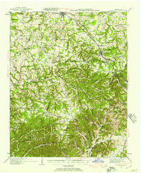
 1955 Whites Creek1956 Print · USGSDavidson County north of Nashville was a landscape of steep ridges and deep hollows in the mid-1950s. Family historians can trace ancestral lands through named features like Bennett Hollow or find rural landmarks like Union Hill Ch and Joelton.4 unique versions available
 - 1956 Map of Nashville, 1971 Print
 1956 Nashville1971 Print · USGSThe Tennessee-Kentucky borderlands come into focus in the mid-1960s as major reservoir projects transformed the Cumberland and Tennessee river valleys. Researchers can trace the rail networks of the Louisville and Nashville and visit sites like Fort Campbell and Fort Donelson National Military Park.2 unique versions available
 - 1959 Map of Nashville
 1959 Nashville1959 Print · USGSMiddle Tennessee and Southern Kentucky come into focus during the late fifties, showing the region's transition into a modern transportation and military hub. Researchers can trace the sprawling Fort Campbell Military Reservation or locate historic rail stops along the Tennessee Central Ry and Illinois Central RR.
 - 1984 Map of Nashville, 1985 Print
 1984 Nashville1985 Print · USGSMiddle Tennessee in the mid-1980s reveals a region balancing urban expansion with its deep river-valley roots. Genealogists and historians can trace family locations near Old Hickory Lake, explore the grounds of Vanderbilt University, or locate ancestral sites like Greenwood Cem.
 - 1994 Map of Whites Creek, 1997 Print
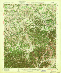
 1994 Whites Creek1997 Print · USGSNorth of Nashville in the mid-1990s, the hollows and ridges of the Highland Rim remained a patchwork of small communities and family landmarks. Genealogists and local historians can trace the foundations of Joelton and Whites Creek or locate historic sites like Walkers Ch and Alex Green Sch.
 - 2010 Map of Whites Creek, 2010 Print
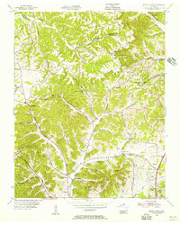
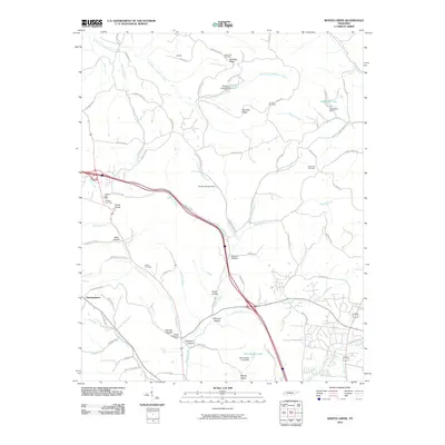 2010 Whites Creek2010 Print · USGSCovers Joelton, including Nashville, Williams Hills, and other nearby areas
 - 2013 Map of Whites Creek, 2013 Print
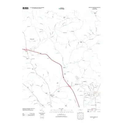 2013 Whites Creek2013 Print · USGSCovers Joelton, including Nashville, Williams Hills, and other nearby areas
 - 2016 Map of Whites Creek, 2016 Print
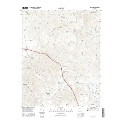 2016 Whites Creek2016 Print · USGSCovers Joelton, including Nashville, Williams Hills, and other nearby areas
 - 2019 Map of Whites Creek, 2019 Print
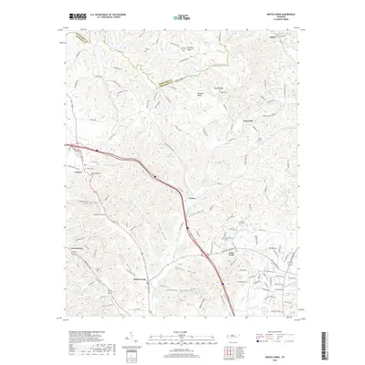 2019 Whites Creek2019 Print · USGSCovers Joelton, including Nashville, Williams Hills, and other nearby areas
 - 2022 Map of Whites Creek, 2022 Print
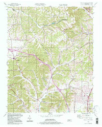
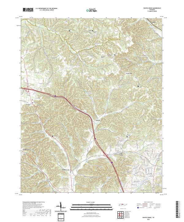 2022 Whites Creek2022 Print · USGSThe Tennessee uplands near the Robertson and Davidson county line are revealed here as a landscape of deep hollows and high ridges. Researchers can trace family history through several rural burial grounds like Union Hill Cem and settlements such as Joelton and Whites Creek.
End of results
Showing maps 1-13 of 13
Top cities near Joelton
- Nashville historical maps
- Hendersonville historical maps
- North Nashville historical maps
- Goodlettsville historical maps
- Springfield historical maps
- White House historical maps
See more
Frequently asked questions
- What are the different types of historical maps available for Joelton?
- What is the oldest map of Joelton?
- Where can I purchase historical maps of Joelton for my home or office?
- Where can I download high-res historical maps of Joelton?
- Are there historical topographic maps available for Joelton?
- Is there historical aerial imagery available for Joelton?
- Where are historical maps of Joelton sourced from?