Old Maps of Sharp Place, Tennessee
Explore 11 old maps of Sharp Place, spanning from 1934 to today. These high-resolution historic maps reveal how streets, neighborhoods, landmarks, and natural features evolved over time — perfect for genealogy, metal detecting, research, and local history exploration.
What you can do with these maps:
- See how Sharp Place changed over time: Compare historical maps to modern-day views to trace roads, homesites, rail lines & more.
- View detailed metadata: Each map includes creators, publishers, year, scale, and archive source.
- Overlay maps with satellite & LiDAR: Visualize the past alongside modern tools to explore terrain & human change.
- Trusted historical sources: Maps sourced from the USGS, Library of Congress, and other archives.
- Access maps your way: View online, download high-res files, or order prints for personal or research use.
Start exploring old maps of Sharp Place to uncover forgotten places, hidden landmarks, and the deep history beneath your feet.
Sharp Place, TN maps
(11)- 1934 Map of Pall Mall
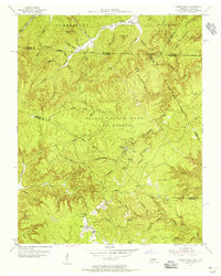
 1934 Pall Mall1934 Print · USGSThe Kentucky-Tennessee borderlands appear in great detail during the late interwar period, showing a landscape of remote mountain hamlets and schools. Genealogists can locate family landmarks such as Edwards Chapel, Slickford, and the Parmley Sch among the cliffs and ridges.
 - 1955 Map of Sharp Place, 1956 Print
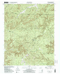
 1955 Sharp Place1956 Print · USGSThe Tennessee-Kentucky borderlands come alive in the mid-fifties, showing a landscape shaped by national forests and small ridge-top communities. Genealogists can locate family sites like Akers Chapel, Sharp Place Cemetery, and the Langham School.5 unique versions available
 - 1956 Map of Corbin, 1966 Print
 1956 Corbin1966 Print · USGSThe Kentucky and Tennessee borderlands are captured here in the mid-fifties, showing the region's shift toward modern interstate travel and reservoir development. Genealogists and historians can trace old community lines near Albany and Monticello or locate early rail junctions along the Southern and Tennessee Central lines.3 unique versions available
 - 1958 Map of Corbin
 1958 Corbin1958 Print · USGSThe Upper Cumberland borderlands appear in the late 1950s as massive reservoirs and early atomic-era growth reshape the region. Trace family roots and vanished landmarks near Lake Cumberland, Oak Ridge, and the Cumberland National Forest.
 - 1981 Map of Corbin, 1984 Print
 1981 Corbin1984 Print · USGSThe Kentucky and Tennessee borderlands in the early eighties were characterized by coal towns and deep mountain ridges. Trace family history or rail routes through Stearns, Williamsburg, and the mining settlements near Jellico Mountain along the L & N RR.
 - 2000 Map of Sharp Place, 2001 Print
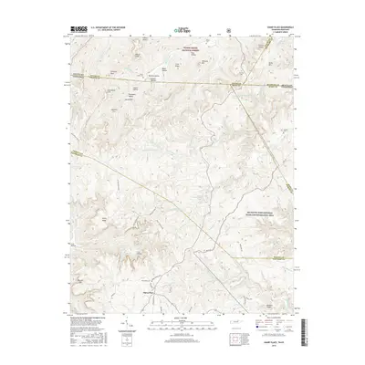
 2000 Sharp Place2001 Print · USGSThe Kentucky and Tennessee borderlands appear in this detailed survey of the Upper Cumberland Plateau. Genealogists and historians can trace family roots at Sharp Place, Akers Chapel, and the Blevins Cem near Hazard Cave.
 - 2010 Map of Sharp Place, 2010 Print
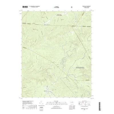
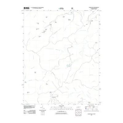 2010 Sharp Place2010 Print · USGSCovers Sharp Place, including Scott County, Wayne County, and other nearby areas
 - 2013 Map of Sharp Place, 2013 Print
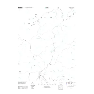 2013 Sharp Place2013 Print · USGSCovers Sharp Place, including Scott County, Wayne County, and other nearby areas
 - 2016 Map of Sharp Place, 2016 Print
 2016 Sharp Place2016 Print · USGSCovers Sharp Place, including Scott County, Wayne County, and other nearby areas
 - 2019 Map of Sharp Place, 2019 Print
 2019 Sharp Place2019 Print · USGSCovers Sharp Place, including Scott County, Wayne County, and other nearby areas
 - 2022 Map of Sharp Place, 2022 Print
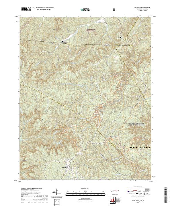 2022 Sharp Place2022 Print · USGSThe Tennessee-Kentucky borderlands come into focus in the early 2020s, showing a landscape defined by deep ridges and protected forests. Family historians can locate several local burial sites including Sharp Cem, Blevins Cem, and the Sharp Place Cem.
End of results
Showing maps 1-11 of 11
Top cities near Sharp Place
Frequently asked questions
- What are the different types of historical maps available for Sharp Place?
- What is the oldest map of Sharp Place?
- Where can I purchase historical maps of Sharp Place for my home or office?
- Where can I download high-res historical maps of Sharp Place?
- Are there historical topographic maps available for Sharp Place?
- Is there historical aerial imagery available for Sharp Place?
- Where are historical maps of Sharp Place sourced from?