
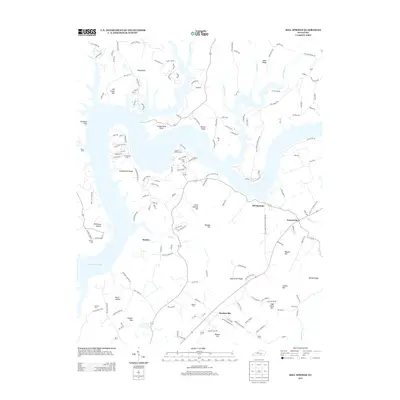
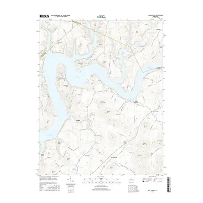
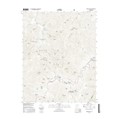
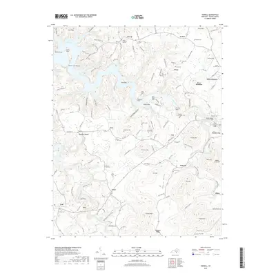
1934 Map of Pall Mall
USGS Topo · Published 1934About this map
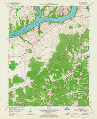
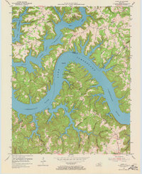
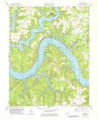
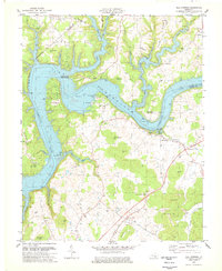
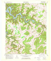
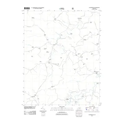
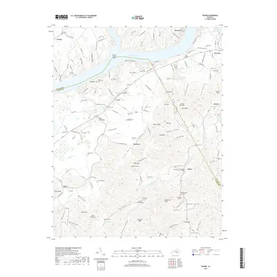
Slickford and Parmleysville anchor the cultural landscape of this 1929 survey along the Kentucky-Tennessee border. The area is defined by a dense network of mountain schools and churches, such as Taylor Grove Ch and Langham Sch, serving isolated communities tucked between dramatic limestone features like Teacup Cliff and Bens Cliff. Industrial infrastructure is visible in the form of the Marsh Pumping Sta and Dry Hollow Pumping Sta, hinting at the regional management of resources near the winding course of the Little South Fork. The terrain is famously complex, characterized by numerous named peaks like Bridgeman Mtn and subterranean features including Blowing Cave and Wind Cave. This survey captures the rural character of Wayne County before later 20th-century developments, preserving the exact locations of many family-named landmarks and long-established mountain settlements.
Find a feature on this map
79 named features on this map. Tap any name to fly to it.
Don’t see what you’re looking for? This feature index may not catch every label — zoom into the map to look around manually.
Map Details
Editions of this 1934 Pall Mall Map
This is the sole edition of this map. No revisions or reprints were ever made.
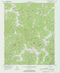
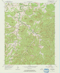
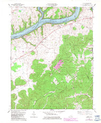
Historical Maps of Mount Pisgah Through Time
47 maps found
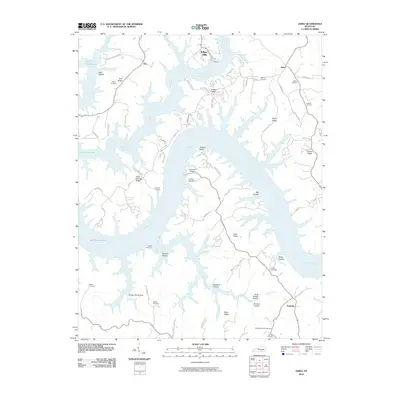
1934 Pall Mall
Wayne County, KY
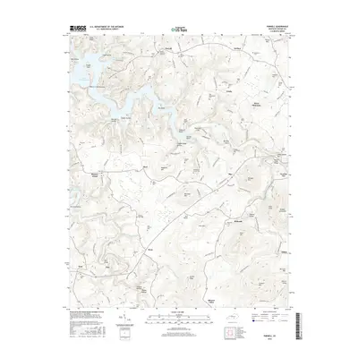
1953 Frazer
Wayne County, KY
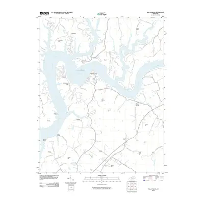
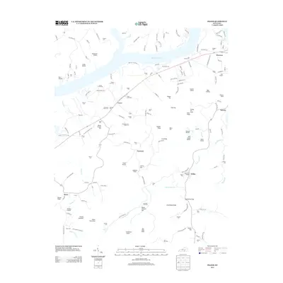
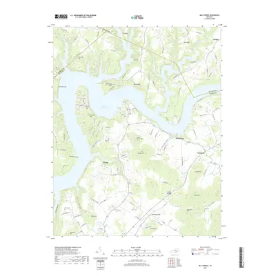
1953 Mill Springs
Wayne County, KY
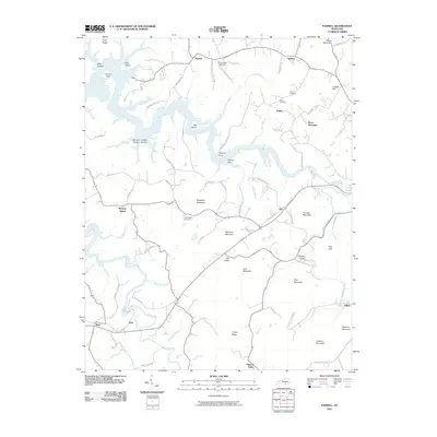
1953 Parnell
Wayne County, KY
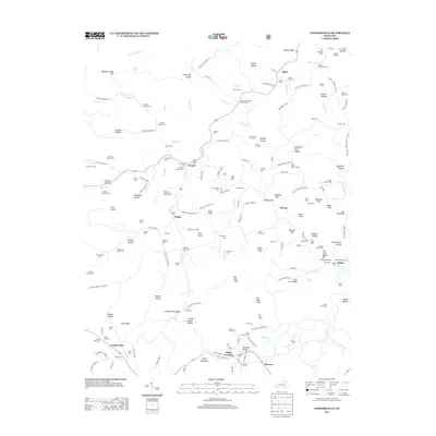
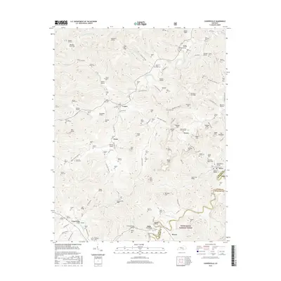
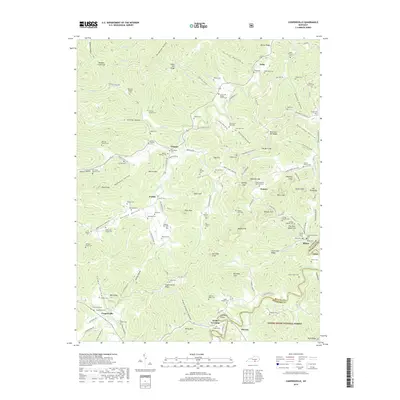
1954 Coopersville
Wayne County, KY
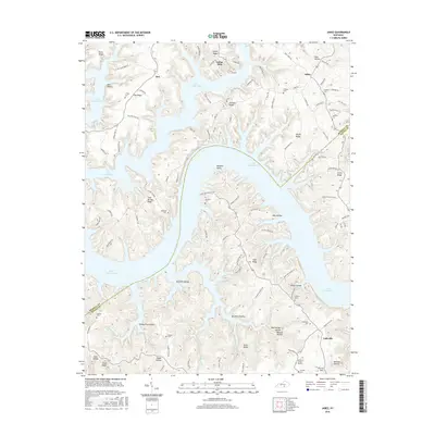
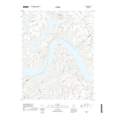
1954 Jabez
Wayne County, KY
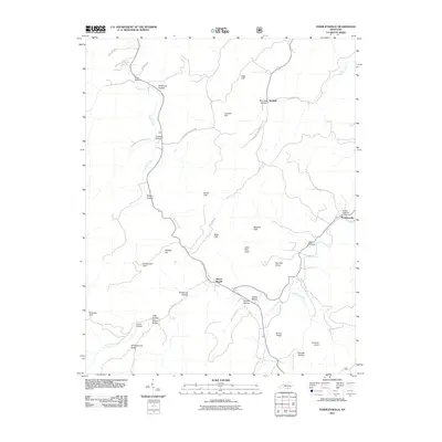
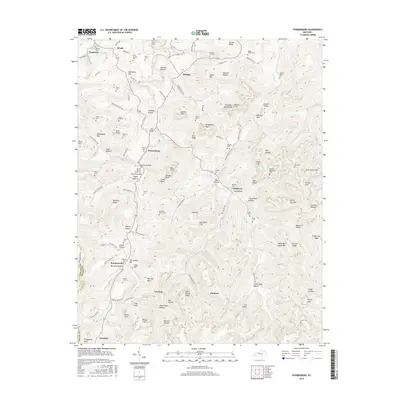
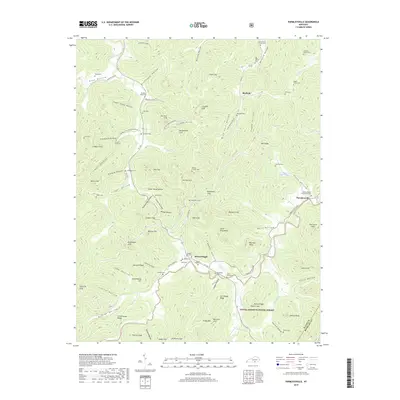
1954 Parmleysville
Wayne County, KY
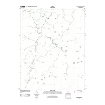
1954 Powersburg
Wayne County, KY
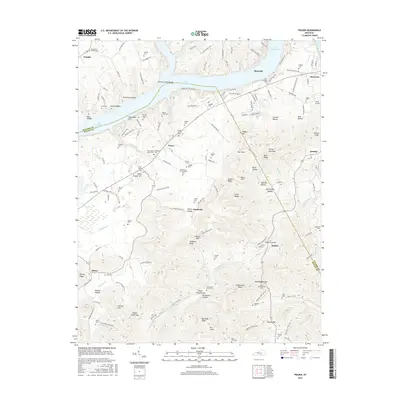
1978 Frazer
Wayne County, KY
1978 Jabez
Wayne County, KY
1978 Mill Springs
Wayne County, KY
1978 Parnell
Wayne County, KY
2010 Frazer
Wayne County, KY
2010 Jabez
Wayne County, KY
2010 Mill Springs
Wayne County, KY
2010 Parnell
Wayne County, KY
2010 Powersburg
Wayne County, KY
2011 Coopersville
Wayne County, KY
2011 Parmleysville
Wayne County, KY
2013 Coopersville
Wayne County, KY
2013 Frazer
Wayne County, KY

2013 Jabez
Wayne County, KY
2013 Mill Springs
Wayne County, KY
2013 Parmleysville
Wayne County, KY
2013 Parnell
Wayne County, KY
2013 Powersburg
Wayne County, KY
2016 Coopersville
Wayne County, KY
2016 Frazer
Wayne County, KY
2016 Jabez
Wayne County, KY
2016 Mill Springs
Wayne County, KY
2016 Parmleysville
Wayne County, KY
2016 Parnell
Wayne County, KY
2016 Powersburg
Wayne County, KY
2019 Coopersville
Wayne County, KY
2019 Frazer
Wayne County, KY
2019 Jabez
Wayne County, KY
2019 Mill Springs
Wayne County, KY
2019 Parmleysville
Wayne County, KY
2019 Parnell
Wayne County, KY
2019 Powersburg
Wayne County, KY
2022 Coopersville
Wayne County, KY
2022 Frazer
Wayne County, KY
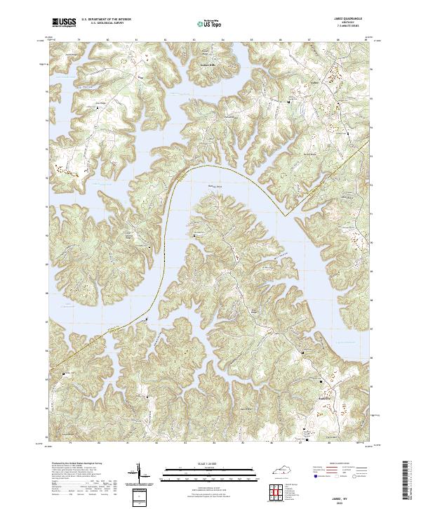
2022 Jabez
Wayne County, KY
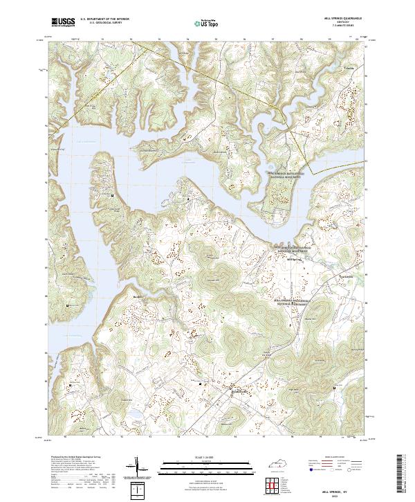
2022 Mill Springs
Wayne County, KY
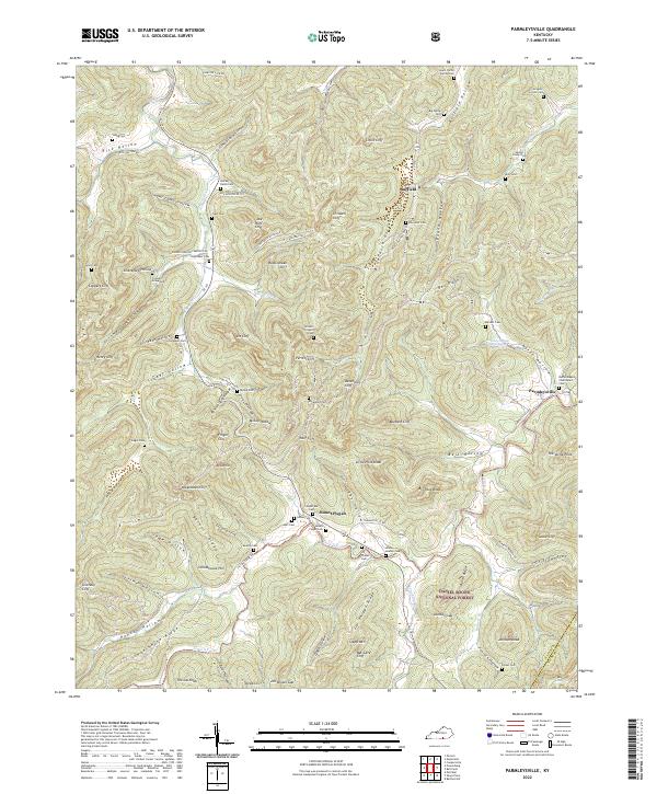
2022 Parmleysville
Wayne County, KY
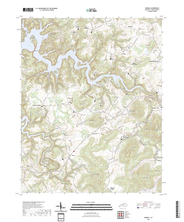
2022 Parnell
Wayne County, KY
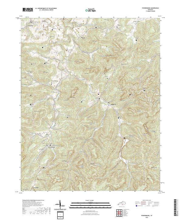
2022 Powersburg
Wayne County, KY