
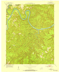
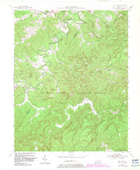
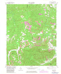
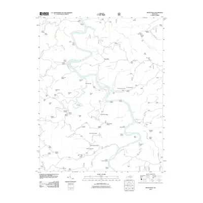
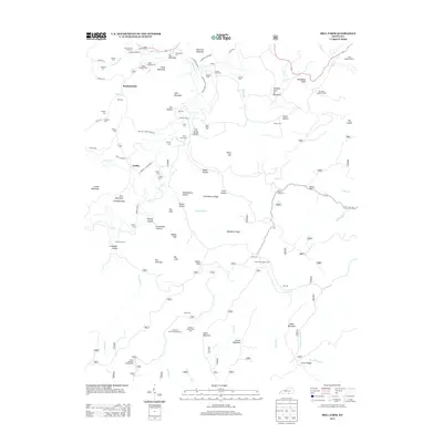
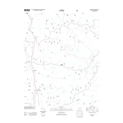
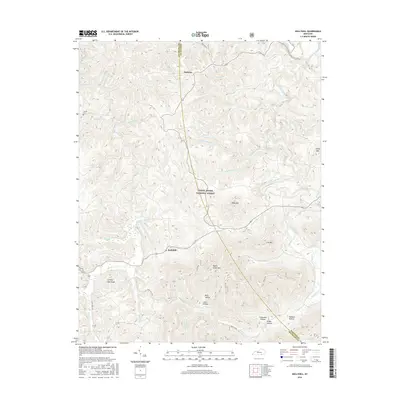
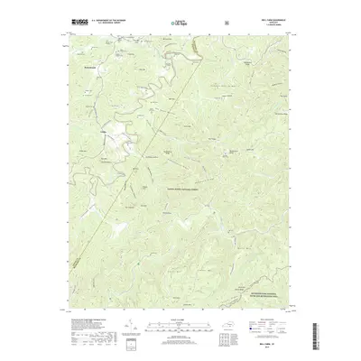
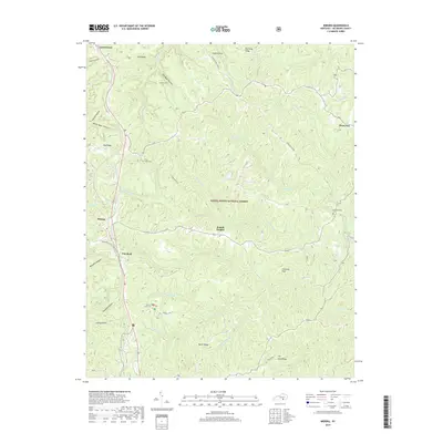
1934 Map of Barthell
USGS Topo · Published 1934About this map
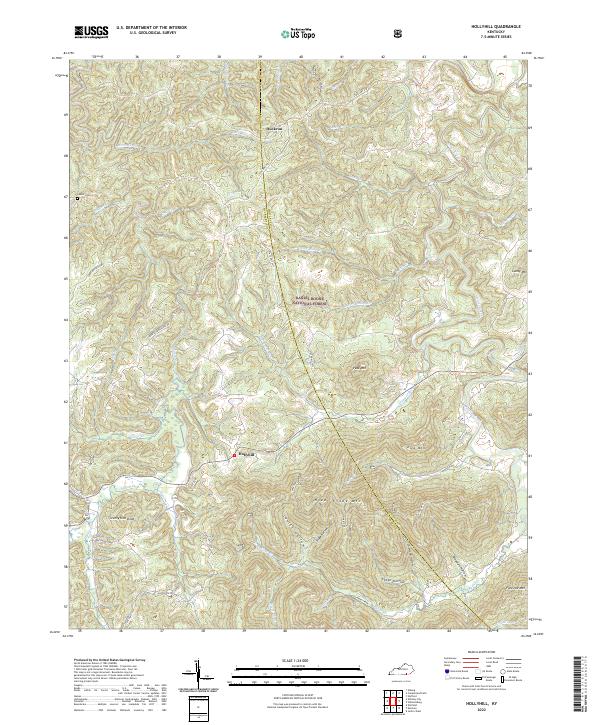
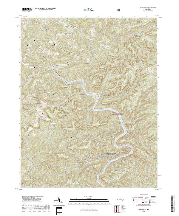
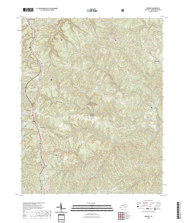
Kentucky and Tennessee Railway tracks wind through the dense topography of McCreary County, following the narrow river valleys that defined early 20th-century life in the region. This landscape is characterized by a concentrated network of isolated settlements and small communities like Cooperative, Barthell, and Smithtown. The river systems, particularly the South Fork Kentucky River and the Cumberland River, serve as the primary geographical anchors, while high points like Skullbones Knob and Hickory Knob rise above the deeply incised hollows. Numerous family and community landmarks are present, including Laurel Hill Ch and several rural schools such as Beechwood Sch and Wolf Sch, reflecting the decentralized social structure of the era. The presence of specialized locations like Paint Cliff PO Sta and Fidelity Shoopman PO illustrates the vital role of the postal service in connecting these pocketed coal and timber communities to the outside world.
Find a feature on this map
83 named features on this map. Tap any name to fly to it.
Don’t see what you’re looking for? This feature index may not catch every label — zoom into the map to look around manually.
Map Details
Editions of this 1934 Barthell Map
This is the sole edition of this map. No revisions or reprints were ever made.
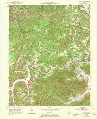
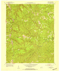
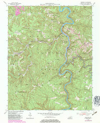
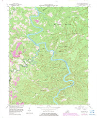
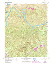
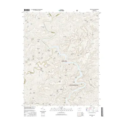
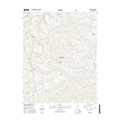
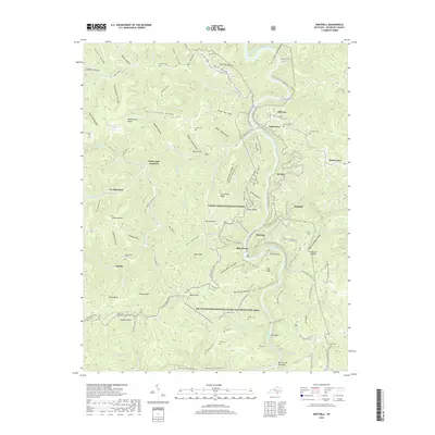
Historical Maps of Oneida Through Time
40 maps found
1934 Barthell
McCreary County, KY
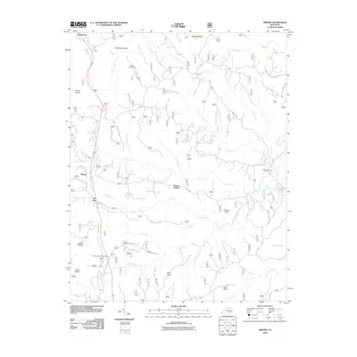
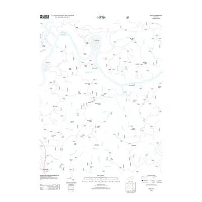
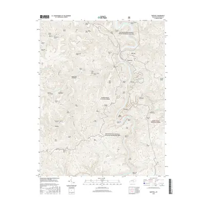
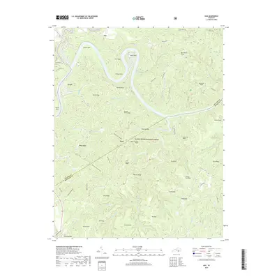
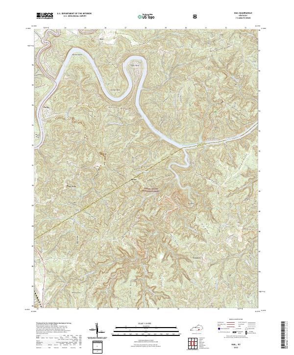
1952 Hail
McCreary County, KY
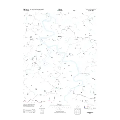
1952 Hollyhill
McCreary County, KY
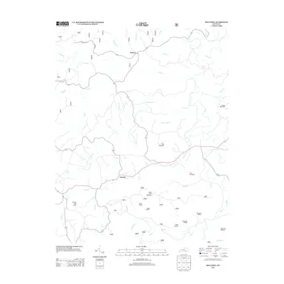
1952 Wiborg
McCreary County, KY
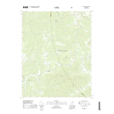
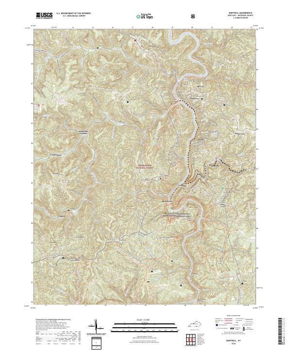
1954 Barthell
McCreary County, KY
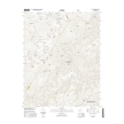
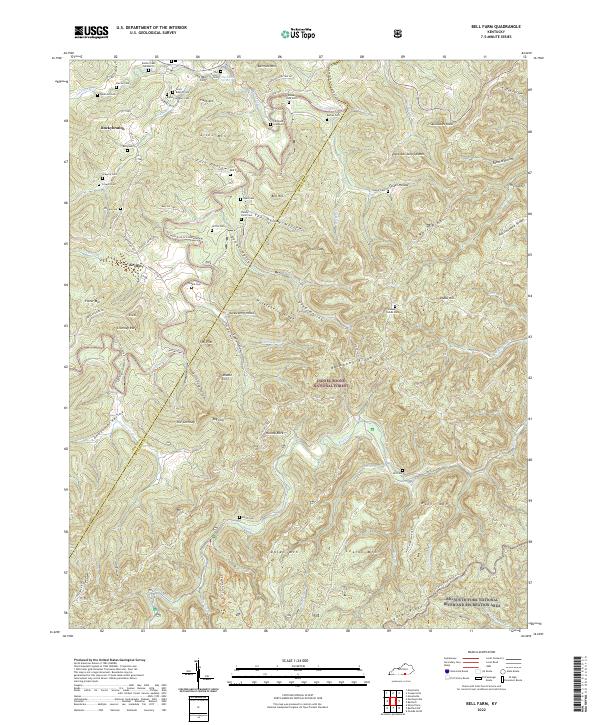
1954 Bell Farm
McCreary County, KY
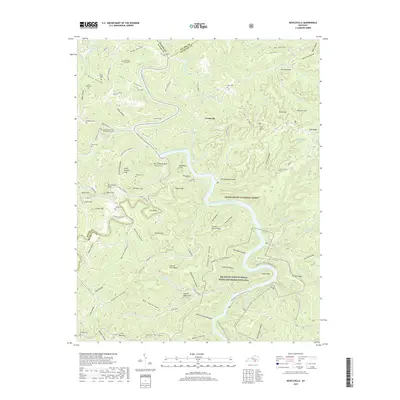
1954 Nevelsville
McCreary County, KY
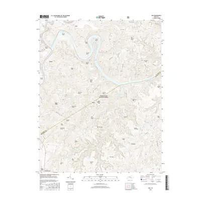
1963 Hail
McCreary County, KY
1963 Wiborg
McCreary County, KY
1979 Hollyhill
McCreary County, KY
2010 Barthell
McCreary County, KY
2010 Bell Farm
McCreary County, KY
2010 Hollyhill
McCreary County, KY
2010 Nevelsville
McCreary County, KY
2010 Wiborg
McCreary County, KY
2011 Hail
McCreary County, KY
2013 Barthell
McCreary County, KY
2013 Bell Farm
McCreary County, KY
2013 Hail
McCreary County, KY
2013 Hollyhill
McCreary County, KY
2013 Nevelsville
McCreary County, KY
2013 Wiborg
McCreary County, KY
2016 Barthell
McCreary County, KY
2016 Bell Farm
McCreary County, KY
2016 Hail
McCreary County, KY
2016 Hollyhill
McCreary County, KY
2016 Nevelsville
McCreary County, KY
2016 Wiborg
McCreary County, KY
2019 Barthell
McCreary County, KY
2019 Bell Farm
McCreary County, KY
2019 Hail
McCreary County, KY
2019 Hollyhill
McCreary County, KY
2019 Nevelsville
McCreary County, KY
2019 Wiborg
McCreary County, KY
2022 Barthell
McCreary County, KY
2022 Bell Farm
McCreary County, KY
2022 Hail
McCreary County, KY
2022 Hollyhill
McCreary County, KY
2022 Nevelsville
McCreary County, KY
2022 Wiborg
McCreary County, KY