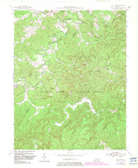
1954 Map of Bell Farm
USGS Topo · Published 1983About this map
Bell Farm sits along a bend of the South Fork river, serving as a hub for the isolated mountain communities within the Daniel Boone National Forest during the mid-20th century. The settlement pattern is defined by narrow hollows and high ridges, with small schools like Dolen Sch and Wolf Sch and rural congregations at Green Ford Ch providing social centers for local families. The landscape is marked by steep elevation changes, with prominent high points such as Skullbones Knob and Siles Mtn flanking the river valleys.
Find a feature on this map
71 named features on this map. Tap any name to fly to it.
Don’t see what you’re looking for? This feature index may not catch every label — zoom into the map to look around manually.
Map Details
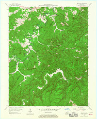
Editions of this 1954 Bell Farm Map
3 editions found

Other maps of this area

1911 · Monticello
USGS Topo · 1:62,500

1914 · Monticello
USGS Topo · 1:62,500

1932 · Burnside
USGS Topo · 1:62,500

1934 · Barthell
USGS Topo · 1:62,500

1934 · Pall Mall
USGS Topo · 1:62,500

1953 · Monticello
USGS Topo · 1:24,000

1954 · Parmleysville
USGS Topo · 1:24,000

1954 · Coopersville
USGS Topo · 1:24,000
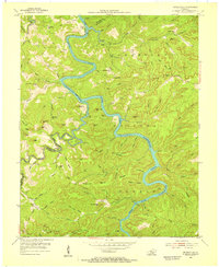
1954 · Nevelsville
USGS Topo · 1:24,000
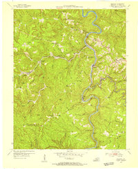
1954 · Barthell
USGS Topo · 1:24,000