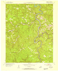
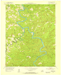
1954 Map of Barthell
USGS Topo · Published 1955About this map
Cumberland National Forest dominates this mid-century landscape, where the South Fork Cumberland River carves a deep, winding path through the plateau. This era shows a network of coal mining and timber communities connected by the Kentucky and Tennessee RR, including Barthell, Blue Heron, and Worley. The terrain is characterized by sharp ridges like Rattlesnake Ridge and Coon Patch Ridge, punctuated by family-named landmarks and essential rural institutions. Genealogists can find numerous burial grounds such as Chitwood Cem and Nancy Grave Cem, alongside scattered schools like Cherokee Sch and Mountain View Sch. The settlement pattern follows the narrow valley floors and ridge lines, reflecting the industrial rail-and-river economy before many of these small coal towns transitioned away from active production.
Find a feature on this map
125 named features on this map. Tap any name to fly to it.
Don’t see what you’re looking for? This feature index may not catch every label — zoom into the map to look around manually.
Map Details
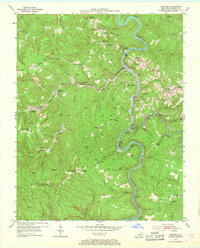
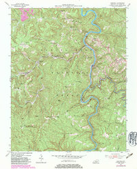
Editions of this 1954 Barthell Map
3 editions found
Other maps of this area

1890 · Williamsburg
USGS Topo · 1:125,000

1894 · Williamsburg
USGS Topo · 1:125,000

1932 · Burnside
USGS Topo · 1:62,500

1934 · Barthell
USGS Topo · 1:62,500

1952 · Wiborg
USGS Topo · 1:24,000

1952 · Whitley City
USGS Topo · 1:24,000
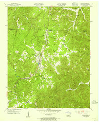
1953 · Winfield
USGS Topo · 1:24,000

1954 · Coopersville
USGS Topo · 1:24,000
1954 · Nevelsville
USGS Topo · 1:24,000

1954 · Bell Farm
USGS Topo · 1:24,000