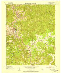
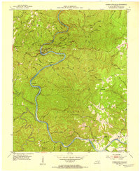
1952 Map of Whitley City
USGS Topo · Published 1954About this map
Whitley City serves as the focal point for this McCreary County landscape, which is heavily shaped by the coal and timber industries of the early 1950s. The presence of Strip Mines and the intersection of the Southern and Kentucky and Tennessee railroads underscore a local economy built on extraction and transport. Beyond the industrial corridors, the area is defined by tight-knit communities such as Stearns and Pine Knot, where family life centered on institutions like Hickory Grove Ch and Round Top Sch.
Find a feature on this map
42 named features on this map. Tap any name to fly to it.
Don’t see what you’re looking for? This feature index may not catch every label — zoom into the map to look around manually.
Map Details
Editions of this 1952 Whitley City Map
This is the sole edition of this map. No revisions or reprints were ever made.
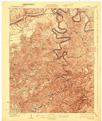
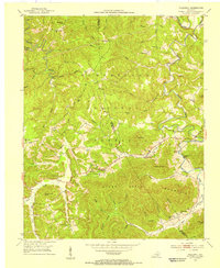
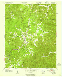
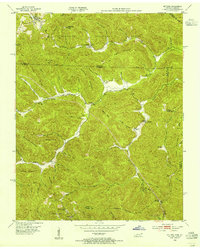
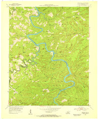
Other maps of this area

1890 · Williamsburg
USGS Topo · 1:125,000

1894 · Williamsburg
USGS Topo · 1:125,000
1932 · Burnside
USGS Topo · 1:62,500

1934 · Barthell
USGS Topo · 1:62,500
1952 · Hollyhill
USGS Topo · 1:24,000
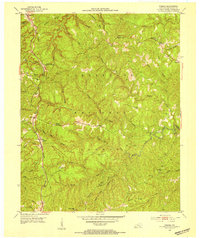
1952 · Wiborg
USGS Topo · 1:24,000
1952 · Cumberland Falls
USGS Topo · 1:24,000
1953 · Winfield
USGS Topo · 1:24,000
1953 · Ketchen
USGS Topo · 1:24,000
1954 · Nevelsville
USGS Topo · 1:24,000