Loading...
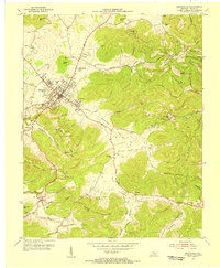
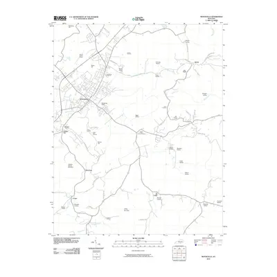
Loading map...1953 Map of Monticello
USGS Topo · Published 1955About this map
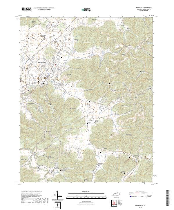
Monticello serves as the focal point of this 1950s study, situated at the crossroads of KY 92, KY 90, and KY 167. The surrounding landscape is defined by the significant corridor of Elk Spring Valley, which transitions into the elevated terrain of Elk Ridge and Bertram Mtn. This era shows a community deeply anchored in its local institutions, evidenced by the numerous small educational centers like Oil Valley Sch, Missouri Sch, and Shiloh Sch that dot the valleys and hollows.
Find a feature on this map
51 named features on this map. Tap any name to fly to it.
Don’t see what you’re looking for? This feature index may not catch every label — zoom into the map to look around manually.
Map Details
Date Portrayed1953
Date Published1955
PublisherU.S. Geological Survey
Map TypeTopographic
Scale1:24,000
Physical Dimensions22.5 x 27.4 inches
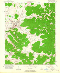
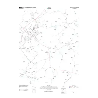
Editions of this 1953 Monticello Map
2 editions found
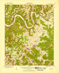
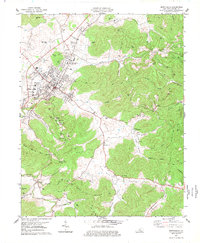
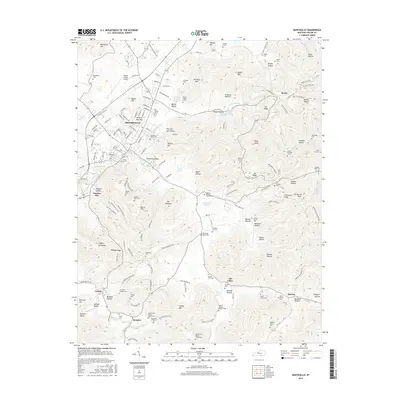
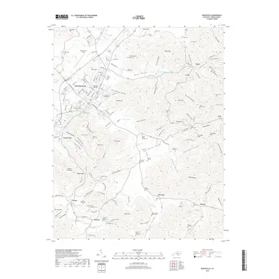
Historical Maps of Monticello Through Time
9 maps found

Featured Locations
Source Details
SourceU.S. Geological Survey
CopyrightPublic Domain