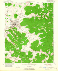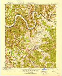
1911 Map of Monticello
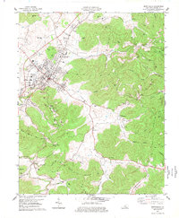
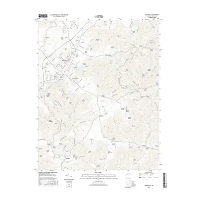
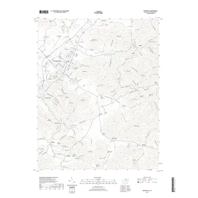
USGS Topo · Published 1952About this map
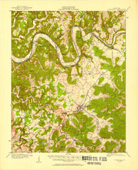
Monticello serves as the central hub of this South Central Kentucky landscape, where the deeply incised Cumberland River snakes through the northern hills. The map captures a transitional era of river commerce and rural settlement, defined by numerous landings such as Rankin Landing, Normans Landing, and Eads Landing that linked secluded farms to wider markets. The settlement pattern is densely dotted with neighborhood-scale infrastructure, including a remarkable concentration of local education sites like Old Glory School, Gum Bottom School, and Turkey Ridge School. To the south, the topography shifts toward the prominent Elk Ridge and Sulphur Spring Mtn, where smaller hamlets like Oil Valley and Bethesda sit tucked between the ridges. This survey provides a rare look at the original riverbank before modern hydrological changes, preserving the locations of vanished post offices like Ramsey Branch Stop PO and Slat.
Find a feature on this map
92 named features on this map. Tap any name to fly to it.
Don’t see what you’re looking for? This feature index may not catch every label — zoom into the map to look around manually.
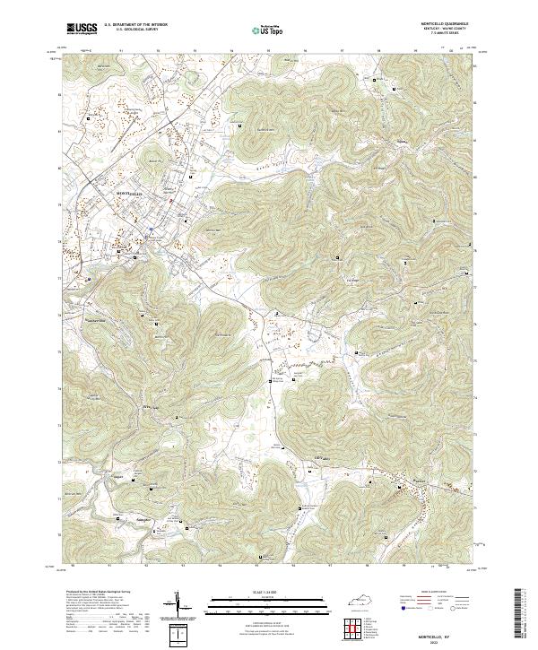
Map Details
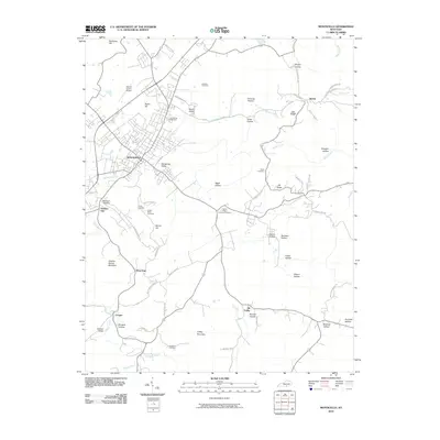
Editions of this 1911 Monticello Map
2 editions found
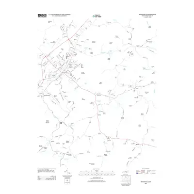
Historical Maps of Monticello Through Time
9 maps found