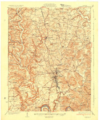
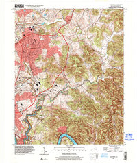
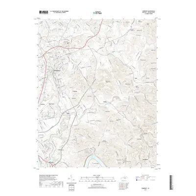
1935 Map of Somerset
USGS Topo · Published 1935About this map
The Southern Railway corridor serves as the primary industrial axis for this section of Kentucky, connecting the centralized hub of Somerset with outlying towns like Science Hill and Ferguson. The map details a landscape heavily partitioned by ridgelines and hollows, such as Mayfield Hollow and Blaze Valley, where dozens of neighborhood institutions like Mt Zion Sch and Bethlehem Ch served isolated rural communities.
Find a feature on this map
110 named features on this map. Tap any name to fly to it.
Don’t see what you’re looking for? This feature index may not catch every label — zoom into the map to look around manually.
Map Details
Editions of this 1935 Somerset Map
This is the sole edition of this map. No revisions or reprints were ever made.
Historical Maps of Somerset Through Time
11 maps found
1935 Somerset
Pulaski County, KY
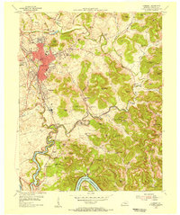
1954 Somerset
Pulaski County, KY
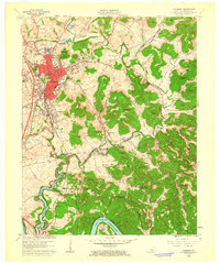
1961 Somerset
Pulaski County, KY
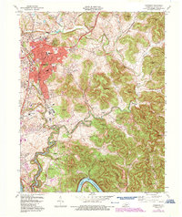
1973 Somerset
Pulaski County, KY

1982 Somerset
Pulaski County, KY
1997 Somerset
Pulaski County, KY
2010 Somerset
Pulaski County, KY
2013 Somerset
Pulaski County, KY
2016 Somerset
Pulaski County, KY
2019 Somerset
Pulaski County, KY
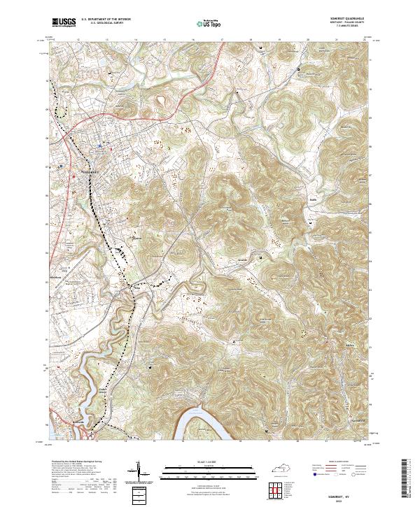
2022 Somerset
Pulaski County, KY