
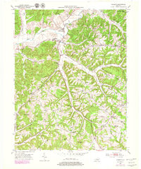
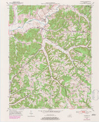
1952 Map of Yosemite
USGS Topo · Published 1953About this map
The Green River meanders across the northern reaches of this rural landscape, providing the lifeblood for the early 1950s settlements of Middleburg and Yosemite. This portion of Casey County is defined by its series of distinct ridges and knobs, including High Ridge, Ragged Ridge, and Elliott Knob, which dictated the placement of mountain roads and small family farmsteads.
Find a feature on this map
60 named features on this map. Tap any name to fly to it.
Don’t see what you’re looking for? This feature index may not catch every label — zoom into the map to look around manually.
Map Details
Editions of this 1952 Yosemite Map
Other maps of this area

1935 · Somerset
USGS Topo · 1:62,500

1952 · Ellisburg
USGS Topo · 1:24,000

1952 · Halls Gap
USGS Topo · 1:24,000

1952 · Eubank
USGS Topo · 1:24,000

1952 · Hustonville
USGS Topo · 1:24,000

1952 · Liberty
USGS Topo · 1:24,000

1953 · Phil
USGS Topo · 1:24,000

1953 · Mintonville
USGS Topo · 1:24,000

1954 · Science Hill
USGS Topo · 1:24,000

1957 · Winchester
USGS Topo · 1:250,000