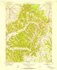
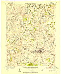
1952 Map of Halls Gap
USGS Topo · Published 1953About this map
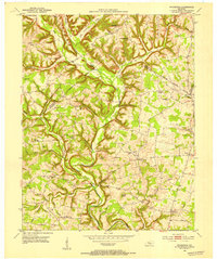
Halls Gap stands as a prominent topographical focal point in Lincoln County, where the highlands begin their descent toward the Green River. In the early 1950s, this area maintained a landscape defined by small rural hubs and a network of country schools like Saufley Sch and Coffey Sch. The southern portion of the map is particularly concentrated with civic markers of a bygone era, including the Memorial High Sch and several family-centered landmarks such as Campbell Cem.
Find a feature on this map
45 named features on this map. Tap any name to fly to it.
Don’t see what you’re looking for? This feature index may not catch every label — zoom into the map to look around manually.
Map Details
Editions of this 1952 Halls Gap Map
This is the sole edition of this map. No revisions or reprints were ever made.
Other maps of this area

1905 · Harrodsburg
USGS Topo · 1:125,000
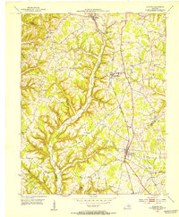
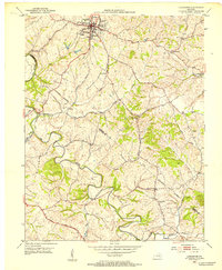
1952 · Eubank
USGS Topo · 1:24,000
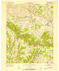
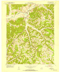
1952 · Crab Orchard
USGS Topo · 1:24,000
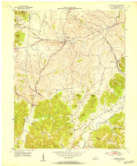
1952 · Hustonville
USGS Topo · 1:24,000
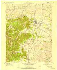
1952 · Lancaster
USGS Topo · 1:24,000
1952 · Yosemite
USGS Topo · 1:24,000
1952 · Stanford
USGS Topo · 1:24,000
1952 · Junction City
USGS Topo · 1:24,000
1952 · Woodstock
USGS Topo · 1:24,000

1957 · Winchester
USGS Topo · 1:250,000