
1952 Map of Woodstock
USGS Topo · Published 1954About this map
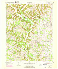
Buck Creek and its many winding tributaries, such as Hurricane Creek and Caney Branch, define the complex geography of this central Kentucky landscape in the early 1950s. The region is characterized by high knobs and deep hollows, where local life centered around small rural settlements like Woodstock, Bee Lick, and Goochtown. The distribution of dozens of small institutions suggests a dispersed agricultural community where school and church served as primary social hubs. For example, family and neighborhood roots are anchored by landmarks like Little Magdalene Cem and Griffin Cem, while numerous one-room schoolhouses, including Pence Sch, Todd Sch, and Singleton Sch, are scattered along the ridgelines and creek bottoms. This detailed survey by the U.S. Geological Survey shows the area just as the rural school system was beginning to consolidate, preserving the locations of these vanished community centers.
Find a feature on this map
57 named features on this map. Tap any name to fly to it.
Don’t see what you’re looking for? This feature index may not catch every label — zoom into the map to look around manually.
Map Details
Editions of this 1952 Woodstock Map
2 editions found
Other maps of this area

1893 · London
USGS Topo · 1:125,000

1897 · London
USGS Topo · 1:125,000

1935 · Somerset
USGS Topo · 1:62,500

1952 · Halls Gap
USGS Topo · 1:24,000

1952 · Eubank
USGS Topo · 1:24,000

1952 · Crab Orchard
USGS Topo · 1:24,000

1952 · Shopville
USGS Topo · 1:24,000

1953 · Maretburg
USGS Topo · 1:24,000
1953 · Brodhead
USGS Topo · 1:24,000
1954 · Bobtown
USGS Topo · 1:24,000