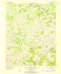
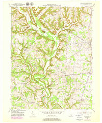
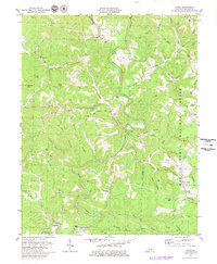
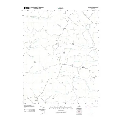
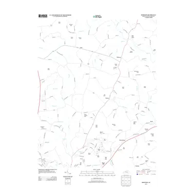
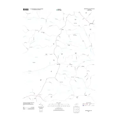
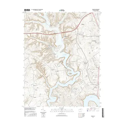
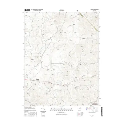
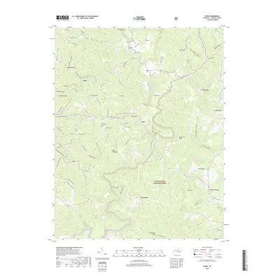
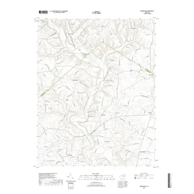
1954 Map of Bobtown
USGS Topo · Published 1955About this map
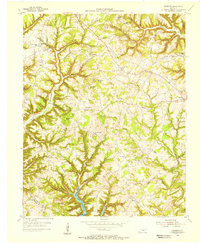
Buck Creek and its numerous tributaries, including Pitman Creek and Whetstone Creek, define the landscape of this eastern Pulaski County region during the mid-1950s. The area is characterized by a dense concentration of named knobs, such as Saltpeter Knob, Jingling Hole Knob, and Buzzard Rock Knob, which dictate the winding paths of rural roads and scattered homesteads. These family-named landmarks are punctuated by a network of local institutions essential to rural life, including the Camp Ground Sch and several country churches like Hazeldell Ch and East Somerset Ch. Small crossroads settlements like Bobtown and Dabney serve as local hubs, while numerous family burial grounds, such as James Cem and Woods Cem, offer significant clues for genealogists tracking the deep-rooted heritage of this Kentucky hills community.
Find a feature on this map
94 named features on this map. Tap any name to fly to it.
Don’t see what you’re looking for? This feature index may not catch every label — zoom into the map to look around manually.
Map Details
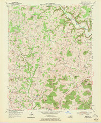
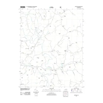
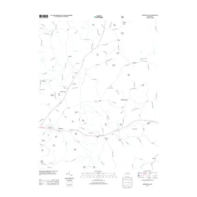
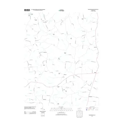
Editions of this 1954 Bobtown Map
3 editions found
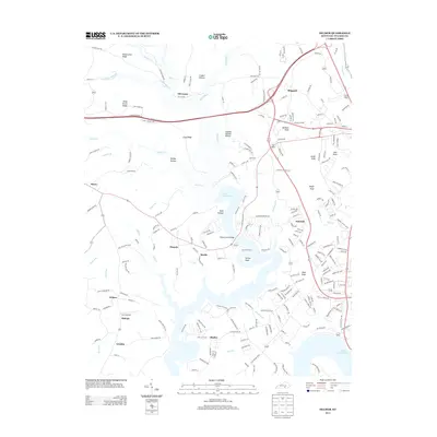
Historical Maps of Science Hill Through Time
46 maps found
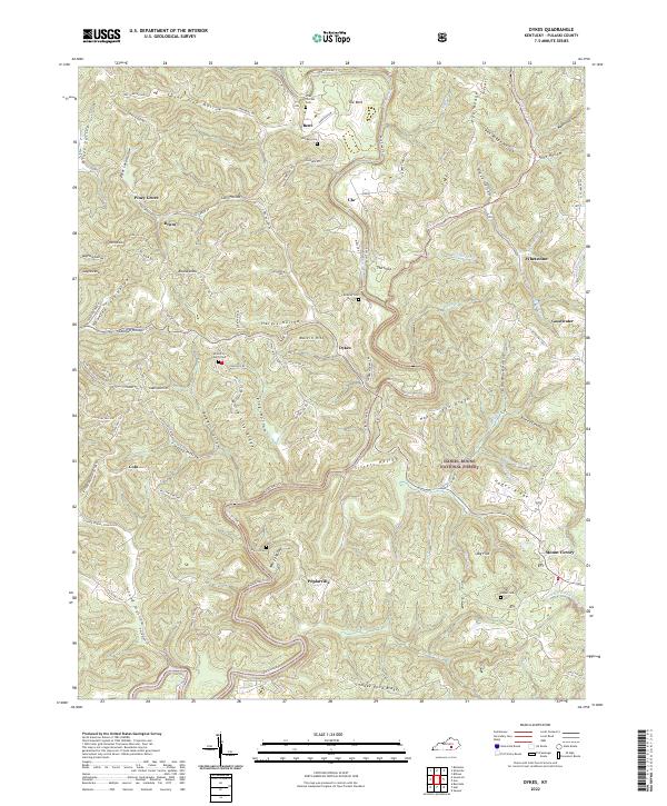
1952 Dykes
Pulaski County, KY
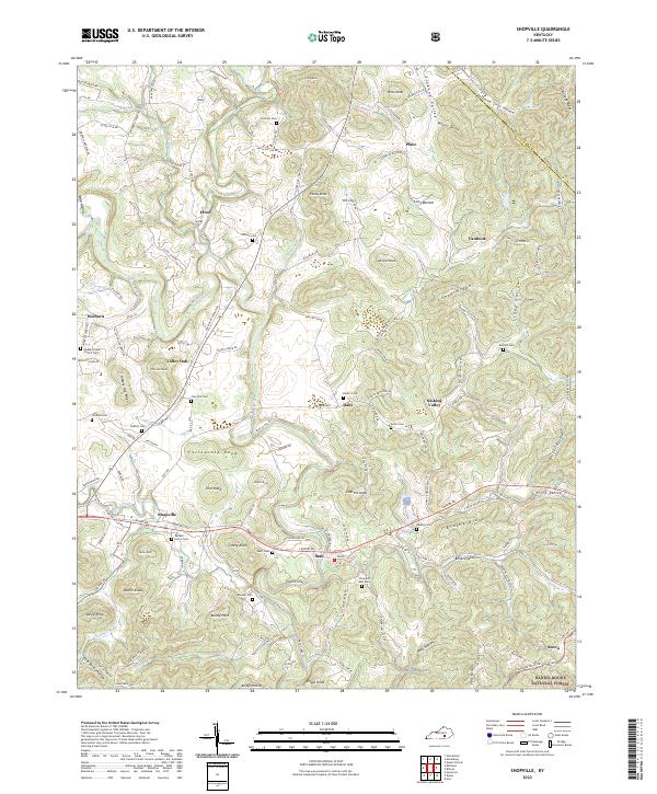
1952 Shopville
Pulaski County, KY
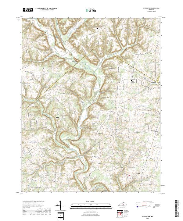
1952 Woodstock
Pulaski County, KY
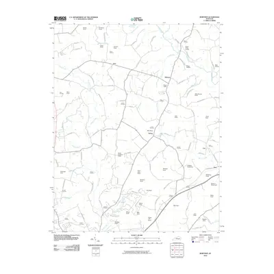
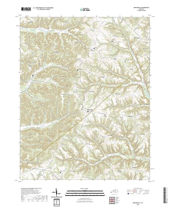
1953 Mintonville
Pulaski County, KY
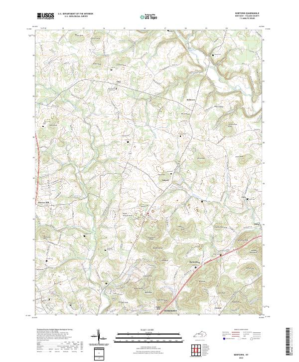
1954 Bobtown
Pulaski County, KY
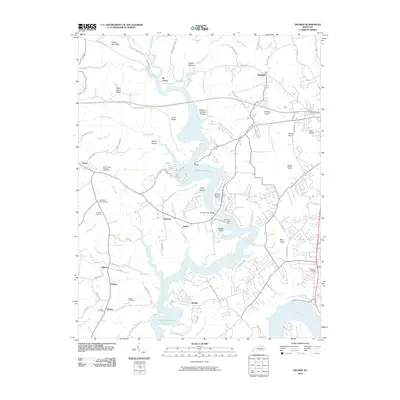
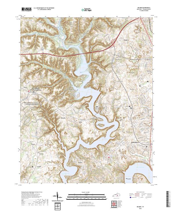
1954 Delmer
Pulaski County, KY
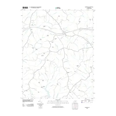
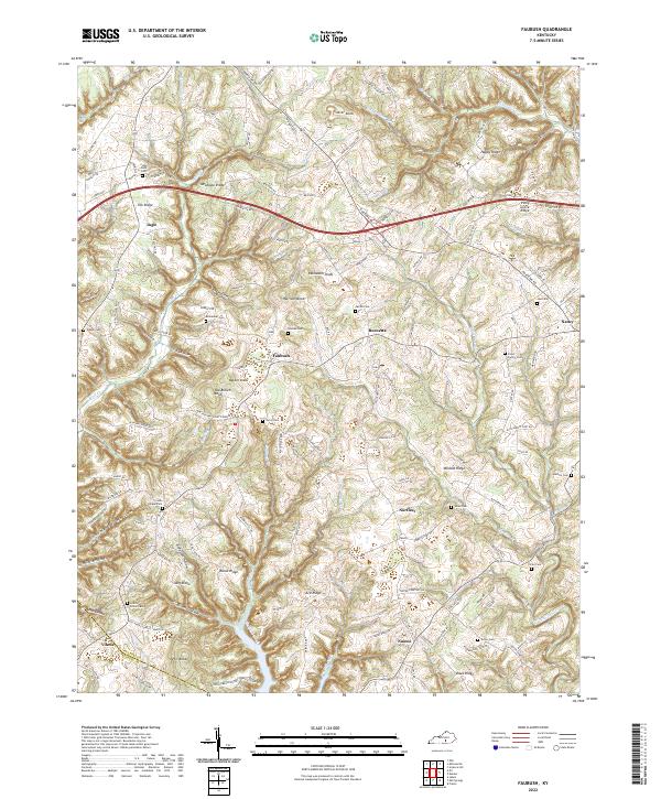
1954 Faubush
Pulaski County, KY
1961 Delmer
Pulaski County, KY
1973 Delmer
Pulaski County, KY
1973 Faubush
Pulaski County, KY
1979 Dykes
Pulaski County, KY
2010 Bobtown
Pulaski County, KY
2010 Delmer
Pulaski County, KY
2010 Faubush
Pulaski County, KY
2010 Mintonville
Pulaski County, KY
2010 Shopville
Pulaski County, KY
2010 Woodstock
Pulaski County, KY
2011 Dykes
Pulaski County, KY
2013 Bobtown
Pulaski County, KY
2013 Delmer
Pulaski County, KY
2013 Dykes
Pulaski County, KY
2013 Faubush
Pulaski County, KY
2013 Mintonville
Pulaski County, KY
2013 Shopville
Pulaski County, KY
2013 Woodstock
Pulaski County, KY
2016 Bobtown
Pulaski County, KY
2016 Delmer
Pulaski County, KY
2016 Dykes
Pulaski County, KY
2016 Faubush
Pulaski County, KY
2016 Mintonville
Pulaski County, KY
2016 Shopville
Pulaski County, KY
2016 Woodstock
Pulaski County, KY
2019 Bobtown
Pulaski County, KY
2019 Delmer
Pulaski County, KY
2019 Dykes
Pulaski County, KY
2019 Faubush
Pulaski County, KY
2019 Mintonville
Pulaski County, KY
2019 Shopville
Pulaski County, KY
2019 Woodstock
Pulaski County, KY
2022 Bobtown
Pulaski County, KY
2022 Delmer
Pulaski County, KY
2022 Dykes
Pulaski County, KY
2022 Faubush
Pulaski County, KY
2022 Mintonville
Pulaski County, KY
2022 Shopville
Pulaski County, KY
2022 Woodstock
Pulaski County, KY