Old Maps of Science Hill, Kentucky
Explore 17 old maps of Science Hill, spanning from 1935 to today. These high-resolution historic maps reveal how streets, neighborhoods, landmarks, and natural features evolved over time — perfect for genealogy, metal detecting, research, and local history exploration.
What you can do with these maps:
- See how Science Hill changed over time: Compare historical maps to modern-day views to trace roads, homesites, rail lines & more.
- View detailed metadata: Each map includes creators, publishers, year, scale, and archive source.
- Overlay maps with satellite & LiDAR: Visualize the past alongside modern tools to explore terrain & human change.
- Trusted historical sources: Maps sourced from the USGS, Library of Congress, and other archives.
- Access maps your way: View online, download high-res files, or order prints for personal or research use.
Start exploring old maps of Science Hill to uncover forgotten places, hidden landmarks, and the deep history beneath your feet.
Science Hill, KY maps
(17)- 1935 Map of Somerset
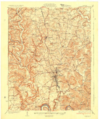 1935 Somerset1935 Print · USGSIn the mid-1930s, the rural landscapes around Somerset were a dense network of one-room schools and river crossings. Genealogists can trace family connections through numerous landmarks like Mt Zion Sch, Waitsboro Ferry, and the Mills Springs National Cem.
 - 1954 Map of Bobtown, 1955 Print
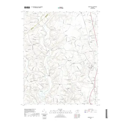
 1954 Bobtown1955 Print · USGSPulaski County at the mid-century is a landscape of high knobs and winding creek branches. Genealogists and local historians can trace family locations near Bobtown and Etna, or locate rural landmarks like the Camp Ground Sch and Hazeldell Cem.3 unique versions available
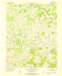
 - 1954 Map of Science Hill, 1955 Print
 1954 Science Hill1955 Print · USGSMid-century Pulaski County is defined here by the Southern railroad line and a dense network of ridge-top farms and schools. Researchers can trace family history through dozens of localized landmarks like Center Post Sch, Freedom Ch, and the Van Hook Cem.
 - 1957 Map of Winchester, 1968 Print
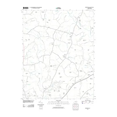
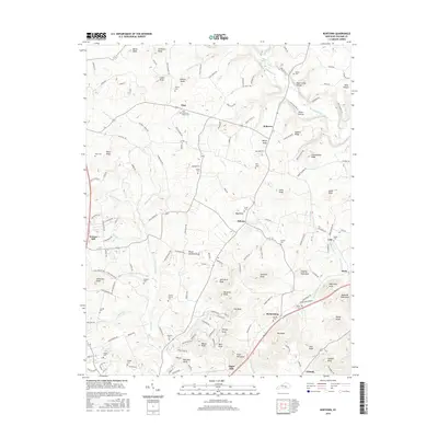
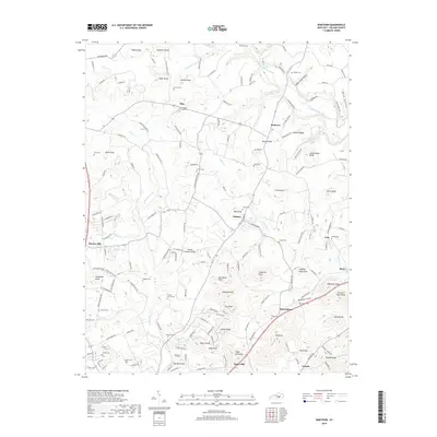
 1957 Winchester1968 Print · USGSCentral Kentucky's landscape in the mid-twentieth century features the sprawling Fort Knox and the early parkway system. Genealogists and historians can trace rail lines like the Southern Railway and find landmarks from Bernheim Forest to Pilot Knob.3 unique versions available
 - 1960 Map of Winchester
 1960 Winchester1960 Print · USGSCentral Kentucky's diverse landscape is shown here at mid-century, from the bluegrass plains to the rugged Pottsville Escarpment. Genealogists and historians can trace the rail-and-river network connecting towns like Bardstown and Stanford alongside landmarks like Lake Cumberland.
 - 1961 Map of Science Hill, 1962 Print
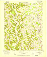
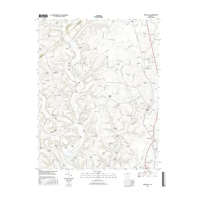
 1961 Science Hill1962 Print · USGSThe rural landscapes of northern Pulaski County are captured in the early sixties as the Southern railroad connects small Kentucky towns. Researchers can trace family history through numerous landmarks like Center Post Ch, Science Hill Cem, and Hogue Sch.2 unique versions available
 - 1982 Map of Somerset, 1983 Print
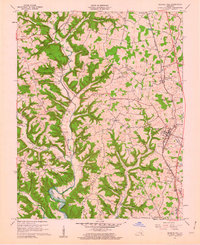
 1982 Somerset1983 Print · USGSThe Lake Cumberland region and the Daniel Boone National Forest appear here in the early eighties. Researchers can trace rural lineages through Broughtontown, Science Hill, and Sinking Valley Church while exploring the rail lines of the Southern Railway.
 - 2010 Map of Science Hill, 2010 Print
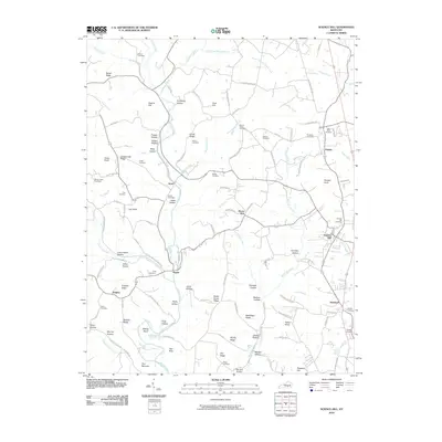 2010 Science Hill2010 Print · USGSCovers Science Hill, including Hogue, Ansel, and other nearby areas
 - 2010 Map of Bobtown, 2010 Print
 2010 Bobtown2010 Print · USGSCovers Science Hill, including Barnesburg, Mark, and other nearby areas
 - 2013 Map of Science Hill, 2013 Print
 2013 Science Hill2013 Print · USGSCovers Science Hill, including Hogue, Ansel, and other nearby areas
 - 2013 Map of Bobtown, 2013 Print
 2013 Bobtown2013 Print · USGSCovers Science Hill, including Barnesburg, Mark, and other nearby areas
 - 2016 Map of Science Hill, 2016 Print
 2016 Science Hill2016 Print · USGSCovers Science Hill, including Hogue, Ansel, and other nearby areas
 - 2016 Map of Bobtown, 2016 Print
 2016 Bobtown2016 Print · USGSCovers Science Hill, including Barnesburg, Mark, and other nearby areas
 - 2019 Map of Bobtown, 2019 Print
 2019 Bobtown2019 Print · USGSCovers Science Hill, including Barnesburg, Mark, and other nearby areas
 - 2019 Map of Science Hill, 2019 Print
 2019 Science Hill2019 Print · USGSCovers Science Hill, including Hogue, Ansel, and other nearby areas
 - 2022 Map of Science Hill, 2022 Print
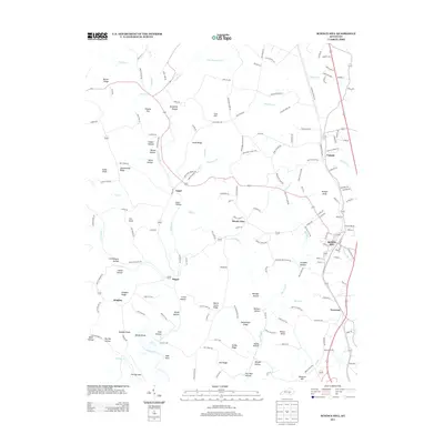
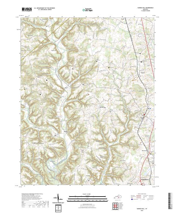 2022 Science Hill2022 Print · USGSPulaski County at the turn of the 2020s remains a landscape of deep hollows and high ridges centered on the Norfolk Southern rail line. Genealogists can trace family roots through numerous burial sites like Ansel Cem and Freedom Cem or the community at Science Hill.
 - 2022 Map of Bobtown, 2022 Print
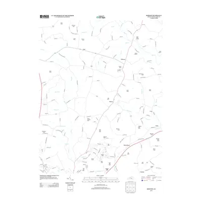
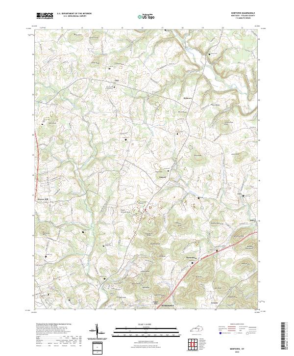 2022 Bobtown2022 Print · USGSPulaski County at the start of the 2020s shows a landscape of clustered rural communities and high knobs. Researchers can trace family history through dozens of localized sites including the Etna Church of Christ Cem, Surber Cem, and Dabney.
End of results
Showing maps 1-17 of 17
Top cities near Science Hill
- Somerset historical maps
- Brodhead historical maps
- Ferguson historical maps
- Burnside historical maps
- Eubank historical maps
Frequently asked questions
- What are the different types of historical maps available for Science Hill?
- What is the oldest map of Science Hill?
- Where can I purchase historical maps of Science Hill for my home or office?
- Where can I download high-res historical maps of Science Hill?
- Are there historical topographic maps available for Science Hill?
- Is there historical aerial imagery available for Science Hill?
- Where are historical maps of Science Hill sourced from?