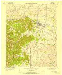
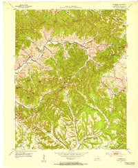
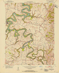
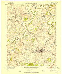
1952 Map of Junction City
USGS Topo · Published 1954About this map
Junction City sits at the strategic crossing of the Southern and Louisville And Nashville railroads, serving as a hub for central Kentucky commerce in the early 1950s. The landscape is defined by the convergence of Boyle, Lincoln, and Casey counties, with the Salt River carving through the northern terrain near Wilsonville. Small family settlements and community anchors like Caldwell Ch and McDonald Ch dot the countryside, while localized aviation is represented by the Goodall Airfield just east of Shelby City.
Find a feature on this map
40 named features on this map. Tap any name to fly to it.
Don’t see what you’re looking for? This feature index may not catch every label — zoom into the map to look around manually.
Map Details
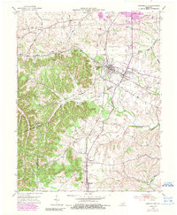
Editions of this 1952 Junction City Map
2 editions found
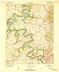
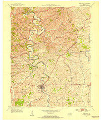
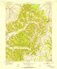
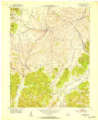
Other maps of this area

1905 · Harrodsburg
USGS Topo · 1:125,000
1950 · Bryantsville
USGS Topo · 1:24,000
1952 · Perryville
USGS Topo · 1:24,000
1952 · Ellisburg
USGS Topo · 1:24,000
1952 · Halls Gap
USGS Topo · 1:24,000
1952 · Hustonville
USGS Topo · 1:24,000
1952 · Danville
USGS Topo · 1:24,000
1952 · Bryantsville
USGS Topo · 1:24,000
1952 · Stanford
USGS Topo · 1:24,000
1952 · Parksville
USGS Topo · 1:24,000