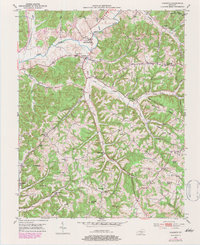
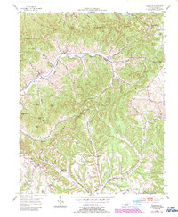
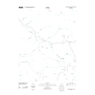
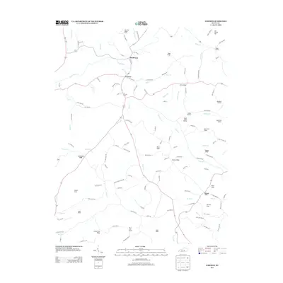
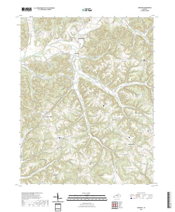
1952 Map of Yosemite
USGS Topo · Published 1983About this map
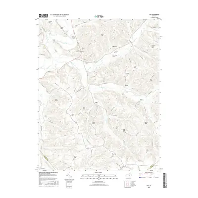
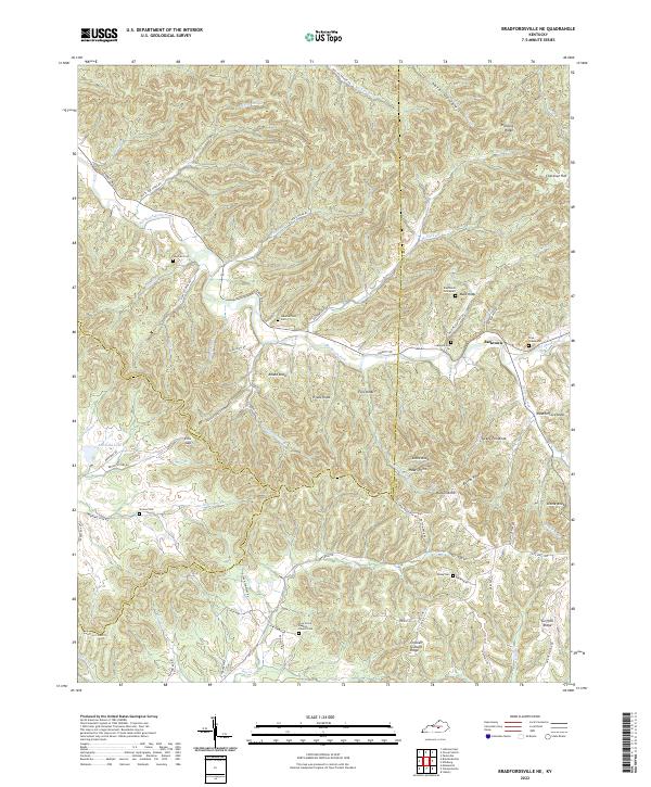
The Green River winds through the northern portion of this Casey County landscape, where the neighboring settlements of Middleburg and Yosemite serve as local hubs in the early 1950s. The topography is defined by a dense network of ridges and knobs, including High Ridge, Grove Ridge, and Calvary Ridge, which separate the various creek valleys. Numerous rural institutions are scattered throughout these hollows, reflecting a well-established community of small farms and family homesteads. Genealogists will find a significant concentration of local landmarks, such as the Hatter Cem, Durham Cem, and the Salyer Cem. Education and faith were clearly central to life in the hollows, evidenced by the many one-room schoolhouses and country churches like Old Willow Springs Sch, Freedom Sch, and the Indian Creek Ch. This survey, updated with 1970s aerial data, provides a detailed view of the rural Kentucky interior before significant modern development.
Find a feature on this map
63 named features on this map. Tap any name to fly to it.
Don’t see what you’re looking for? This feature index may not catch every label — zoom into the map to look around manually.
Map Details
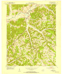
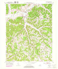
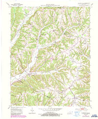
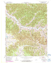
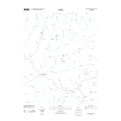
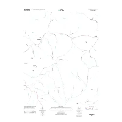
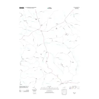
Editions of this 1952 Yosemite Map
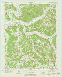
Historical Maps of Middleburg Through Time
30 maps found
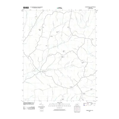
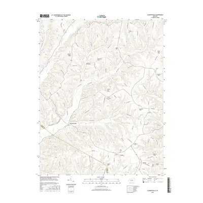
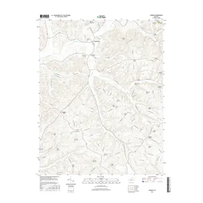
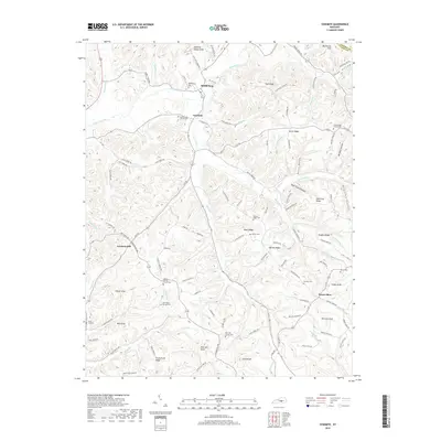
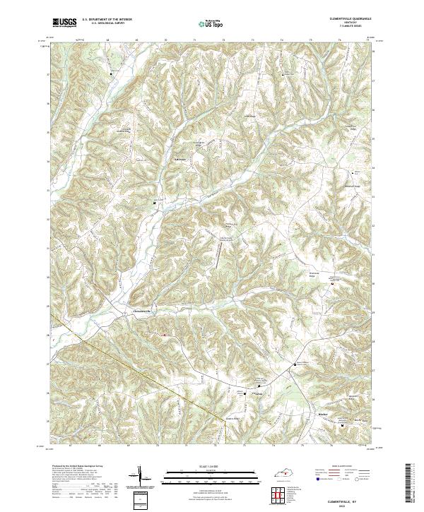
1952 Clementsville
Casey County, KY
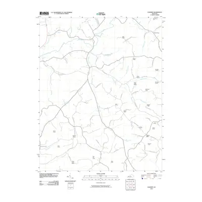
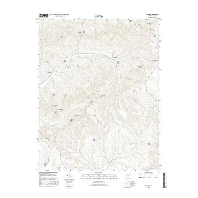
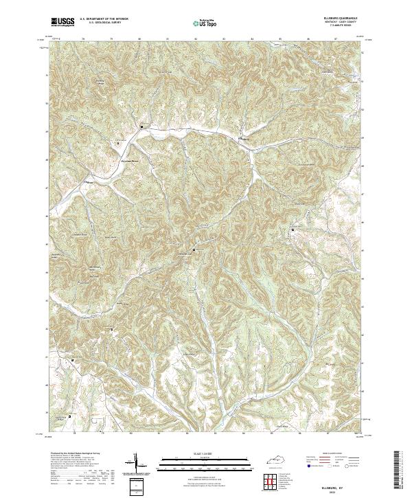
1952 Ellisburg
Casey County, KY
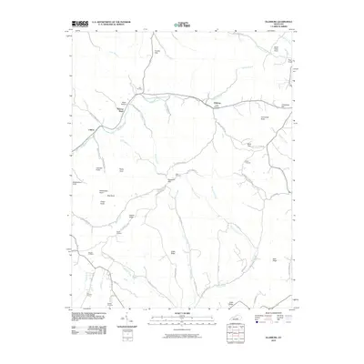
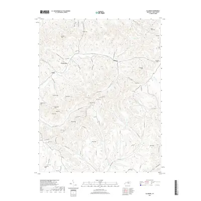
1952 Yosemite
Casey County, KY
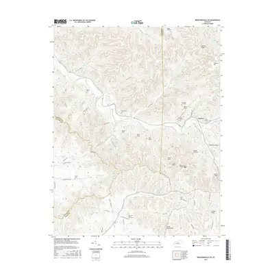
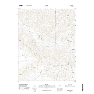
1953 Bradfordsville NE
Casey County, KY
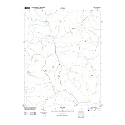
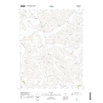
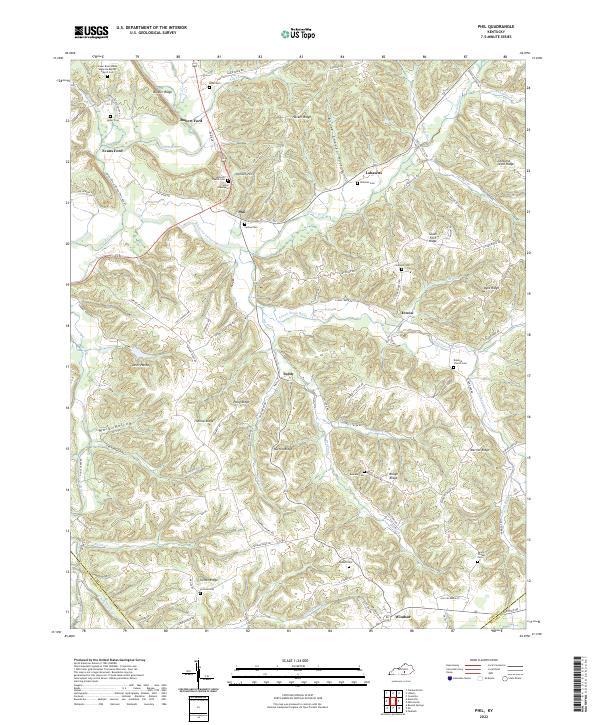
1953 Phil
Casey County, KY
2010 Bradfordsville NE
Casey County, KY
2010 Clementsville
Casey County, KY
2010 Ellisburg
Casey County, KY
2010 Phil
Casey County, KY
2010 Yosemite
Casey County, KY
2013 Bradfordsville NE
Casey County, KY
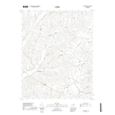
2013 Clementsville
Casey County, KY
2013 Ellisburg
Casey County, KY
2013 Phil
Casey County, KY
2013 Yosemite
Casey County, KY
2016 Bradfordsville NE
Casey County, KY
2016 Clementsville
Casey County, KY
2016 Ellisburg
Casey County, KY
2016 Phil
Casey County, KY
2016 Yosemite
Casey County, KY
2019 Bradfordsville NE
Casey County, KY
2019 Clementsville
Casey County, KY
2019 Ellisburg
Casey County, KY
2019 Phil
Casey County, KY
2019 Yosemite
Casey County, KY
2022 Bradfordsville NE
Casey County, KY
2022 Clementsville
Casey County, KY
2022 Ellisburg
Casey County, KY
2022 Phil
Casey County, KY
2022 Yosemite
Casey County, KY