Loading...
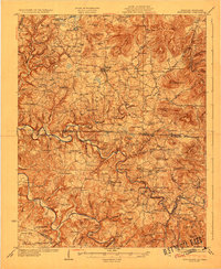
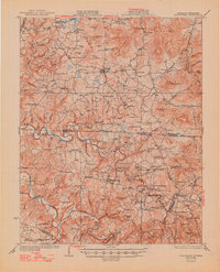
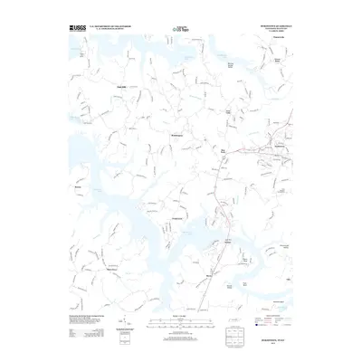
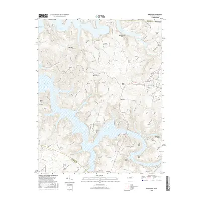
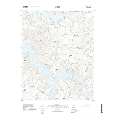
Loading map...1929 Map of Byrdstown
USGS Topo · Published 1929About this map
Byrdstown and Albany anchor this late-1920s topography, illustrating the rural landscape along the rugged border of Tennessee and Kentucky before major reservoir development. The map reveals a complex network of river-dependent commerce and travel, dominated by the winding paths of the Obey River and Wolf River. Transportation in this era relied heavily on river crossings such as Franklin Ferry, Bass Ford, and Riley Ford, which connected isolated farming communities and local schools.
Find a feature on this map
127 named features on this map. Tap any name to fly to it.
Don’t see what you’re looking for? This feature index may not catch every label — zoom into the map to look around manually.
Map Details
Date Portrayed1929
Date Published1929
PublisherU.S. Geological Survey
Map TypeTopographic
Scale1:62,500
Physical Dimensions16.6 x 20.2 inches
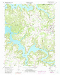
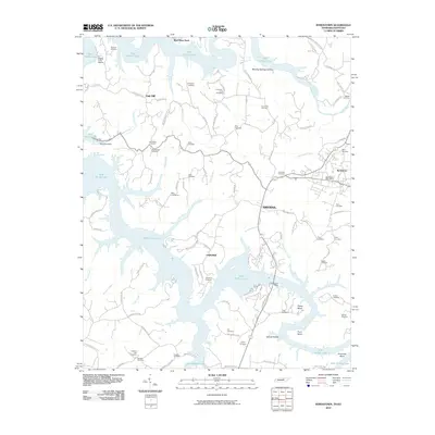
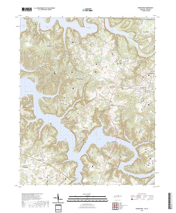
Editions of this 1929 Byrdstown Map
2 editions found
Historical Maps of Albany Through Time
7 maps found
Featured Locations
Source Details
SourceU.S. Geological Survey
CopyrightPublic Domain