Loading...
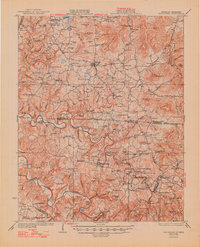
Loading map...1929 Map of Byrdstown
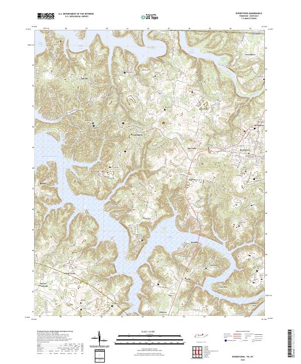
USGS Topo · Published 1948About this map
Albany, Kentucky, and Byrdstown, Tennessee, anchor this borderland survey, illustrating the rural landscape before the regional transformation brought by mid-century reservoirs. The map reveals an intricate network of one-room schoolhouses like Snow Sch and Ewing Sch, alongside numerous country churches including Smyrna Ch and New Bethel Ch. This density of civic and religious institutions reflects a late-1920s agrarian society where travel was still dominated by natural river crossings.
Find a feature on this map
197 named features on this map. Tap any name to fly to it.
Don’t see what you’re looking for? This feature index may not catch every label — zoom into the map to look around manually.
Map Details
Date Portrayed1929
Date Published1948
PublisherU.S. Geological Survey
Map TypeTopographic
Scale1:62,500
Physical Dimensions17 x 21 inches
Editions of this 1929 Byrdstown Map
2 editions found
Historical Maps of Albany Through Time
7 maps found
Featured Locations
Source Details
SourceU.S. Geological Survey
CopyrightPublic Domain