Old Maps of Yorkville, Tennessee for Metal Detecting
Plan your next treasure hunt with 14 historic maps of Yorkville. Find old homesites, ghost towns, trails, and gathering spots that may be lost to time — perfect for identifying promising metal detecting locations.
- Locate forgotten sites: Uncover places like long-lost settlements, abandoned rail lines, or gathering spots.
- Plan better hunts: Use map overlays combined with LiDAR or satellite views to narrow in on historically rich areas.
- Made for detectorists: Thousands of hobbyists use these maps to discover relics, coins, and hidden history.
Use these historic maps to boost your research and find new opportunities beneath the surface of Yorkville.
Yorkville, TN maps
(14)- 1956 Map of Dyersburg, 1960 Print
 1956 Dyersburg1960 Print · USGSThe Four Rivers region comes alive in the mid-fifties, capturing the intricate borderlands of Tennessee, Kentucky, and Missouri. Genealogists and historians can trace the rail-and-river networks connecting Dyersburg, Caruthersville, and the shoreline of Reelfoot Lake.4 unique versions available
 - 1964 Map of Yorkville, 1967 Print
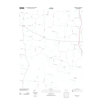
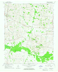 1964 Yorkville1967 Print · USGSMid-century West Tennessee comes to life here as agricultural communities like Yorkville and Hopewell thrive along the winding North Fork Forked Deer River. Genealogists can trace family footprints across several burial sites and rural steeples, including Flowers Cem, Bethel Cem, and Mt Olive Ch.2 unique versions available
 - 1965 Map of Tatumville, 1967 Print
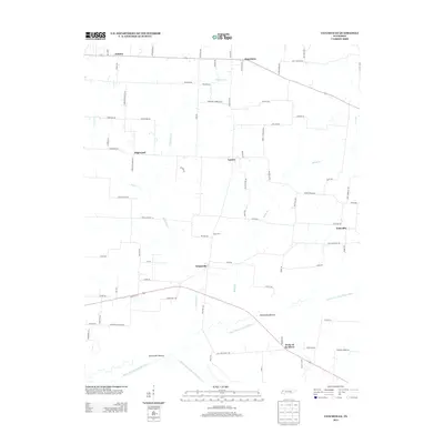
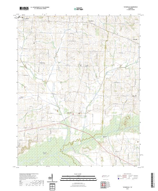
 1965 Tatumville1967 Print · USGSDyer and Gibson Counties are shown here during the mid-1960s, defined by the winding course of the Forked Deer River. Researchers can trace ancestral locations near Tatumville, Churchton, and Atkins Cem, or locate rural churches such as Mt Tirzah Ch.2 unique versions available
 - 1983 Map of Dyersburg
 1983 Dyersburg1983 Print · USGSSpanning the Mississippi River at the start of the 1980s, this area shows the vital river-and-rail connections between Tennessee and Missouri. Researchers can trace family sites at Mount Pisgah Cemetery or study the evolving shoreline near Caruthersville and Reelfoot Lake.
 - 2010 Map of Yorkville, 2010 Print
 2010 Yorkville2010 Print · USGSCovers Yorkville, including Dyer, Rutherford, and other nearby areas
 - 2010 Map of Tatumville, 2010 Print
 2010 Tatumville2010 Print · USGSCovers Yorkville, including Newbern, Forks of the River, and other nearby areas
 - 2013 Map of Yorkville, 2013 Print
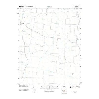
 2013 Yorkville2013 Print · USGSCovers Yorkville, including Dyer, Rutherford, and other nearby areas
 - 2013 Map of Tatumville, 2013 Print
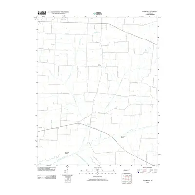
 2013 Tatumville2013 Print · USGSCovers Yorkville, including Newbern, Forks of the River, and other nearby areas
 - 2016 Map of Yorkville, 2016 Print
 2016 Yorkville2016 Print · USGSCovers Yorkville, including Dyer, Rutherford, and other nearby areas
 - 2016 Map of Tatumville, 2016 Print
 2016 Tatumville2016 Print · USGSCovers Yorkville, including Newbern, Forks of the River, and other nearby areas
 - 2019 Map of Yorkville, 2019 Print
 2019 Yorkville2019 Print · USGSCovers Yorkville, including Dyer, Rutherford, and other nearby areas
 - 2019 Map of Tatumville, 2019 Print
 2019 Tatumville2019 Print · USGSCovers Yorkville, including Newbern, Forks of the River, and other nearby areas
 - 2022 Map of Tatumville, 2022 Print
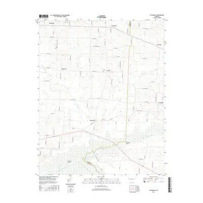
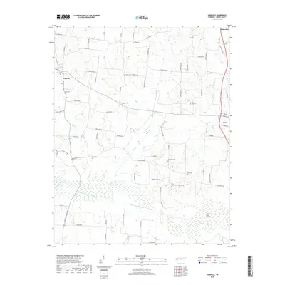
 2022 Tatumville2022 Print · USGSWestern Tennessee’s agricultural heartland is captured here in the early twenty-first century, showing a landscape defined by river bottoms and rural crossroads. Local historians can trace family lines and old homesteads near Tatumville, Atkins Cem, and Macedonia Bottom.
 - 2022 Map of Yorkville, 2022 Print
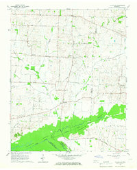
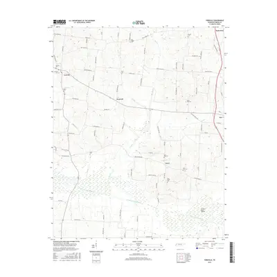
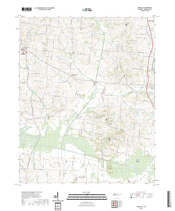 2022 Yorkville2022 Print · USGSWestern Gibson County comes into focus in the early twenty-first century, showing a landscape shaped by the N Fork Forked Deer River. Genealogists can trace local roots through numerous family-named roads and rural burial sites like Yorkville Cem and Bells Chapel Cem.
End of results
Showing maps 1-14 of 14
Top cities near Yorkville
- Dyersburg historical maps
- Martin historical maps
- Trenton historical maps
- Newbern historical maps
- Dyer historical maps
- Rutherford historical maps
See more
Frequently asked questions
- What are the different types of historical maps available for Yorkville?
- What is the oldest map of Yorkville?
- Where can I purchase historical maps of Yorkville for my home or office?
- Where can I download high-res historical maps of Yorkville?
- Are there historical topographic maps available for Yorkville?
- Is there historical aerial imagery available for Yorkville?
- Where are historical maps of Yorkville sourced from?