Old Maps of Shiloh, Tennessee
Explore 11 old maps of Shiloh, spanning from 1936 to today. These high-resolution historic maps reveal how streets, neighborhoods, landmarks, and natural features evolved over time — perfect for genealogy, metal detecting, research, and local history exploration.
What you can do with these maps:
- See how Shiloh changed over time: Compare historical maps to modern-day views to trace roads, homesites, rail lines & more.
- View detailed metadata: Each map includes creators, publishers, year, scale, and archive source.
- Overlay maps with satellite & LiDAR: Visualize the past alongside modern tools to explore terrain & human change.
- Trusted historical sources: Maps sourced from the USGS, Library of Congress, and other archives.
- Access maps your way: View online, download high-res files, or order prints for personal or research use.
Start exploring old maps of Shiloh to uncover forgotten places, hidden landmarks, and the deep history beneath your feet.
Shiloh, TN maps
(11)- 1936 Map of Counce
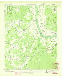 1936 Counce1936 Print · USGSHardin County was in the midst of a massive transformation in the mid-1930s as the TVA began modernizing the river. Genealogists can locate family landmarks like Roberts Cem, Childers Hill Hamburg PO, and the Shady Grove Cem.
 - 1949 Map of Counce, 1952 Print
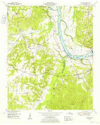 1949 Counce1952 Print · USGSHardin County and the Tennessee River valley are captured here just after the war, showing the area's transition into the TVA era. Researchers can trace historic river access at Nash Landing, the grounds of Shiloh National Military Park, and local landmarks like Wayne Sch.
 - 1956 Map of Blytheville, 1964 Print
 1956 Blytheville1964 Print · USGSWest Tennessee and the Arkansas Delta come alive in this mid-century survey of the river-and-rail corridor connecting Memphis to Jackson. Genealogists and historians can trace the rail lines of the Louisville and Nashville RR and locate landmarks like Western State Hospital or Fort Pillow State Prison Farm.2 unique versions available
 - 1959 Map of Blytheville
 1959 Blytheville1959 Print · USGSWest Tennessee and Northeast Arkansas meet along the river in the late fifties, during a period of steady industrial and agricultural growth. Genealogists can trace the rail corridors of the Illinois Central through Jackson or explore landmarks like Shiloh National Military Park and Fort Pillow State Prison.
 - 1972 Map of Counce, 1974 Print
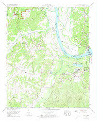 1972 Counce1974 Print · USGSNear the Tennessee-Mississippi border in the early seventies, this survey traces the industrial and martial history of Hardin County. Genealogists and historians can locate family cemeteries such as Beshars Cem, explore the hallowed ground of Shiloh National Military Park, and find landings like Nash Landing.3 unique versions available
 - 1986 Map of Selmer
 1986 Selmer1986 Print · USGSThe Tennessee River valley and the West Tennessee highlands come into focus in the mid-eighties, showing the region's unique intersection of Civil War history and modern infrastructure. Genealogists and researchers can trace family landmarks like Gillisses Mills, the campus of Freed-Hardeman College, and the hallowed grounds of Shiloh National Military Park.3 unique versions available
 - 2010 Map of Counce, 2010 Print
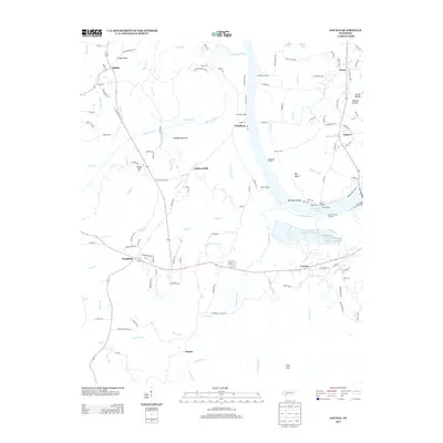
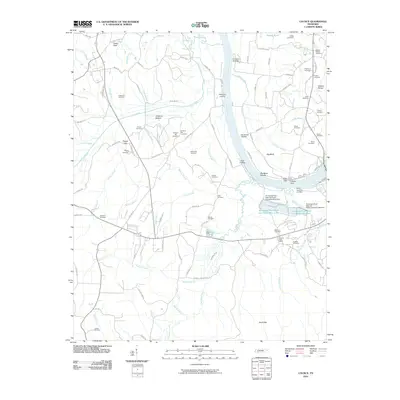 2010 Counce2010 Print · USGSCovers Shiloh, including Damon, Counce, and other nearby areas
 - 2013 Map of Counce, 2013 Print
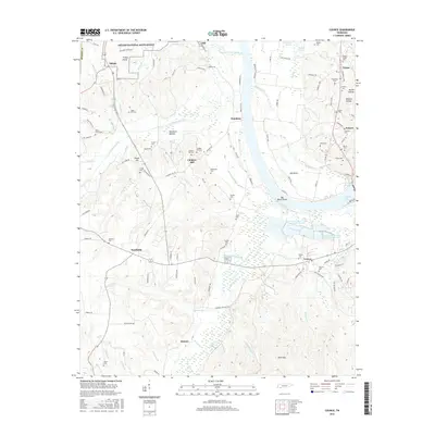
 2013 Counce2013 Print · USGSCovers Shiloh, including Damon, Counce, and other nearby areas
 - 2016 Map of Counce, 2016 Print
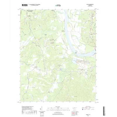
 2016 Counce2016 Print · USGSCovers Shiloh, including Damon, Counce, and other nearby areas
 - 2019 Map of Counce, 2019 Print
 2019 Counce2019 Print · USGSCovers Shiloh, including Damon, Counce, and other nearby areas
 - 2022 Map of Counce, 2022 Print
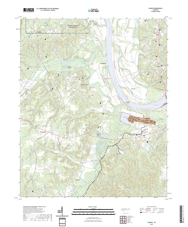 2022 Counce2022 Print · USGSThe Tennessee River corridor and the hallowed ground of Shiloh National Battlefield define this Hardin County landscape. Genealogists can trace family lines across dozens of rural burial sites, including the Wesleys Chapel Cem, Childers Hill Cem Number 1, and William Wood Cem.
End of results
Showing maps 1-11 of 11
Top cities near Shiloh
- Corinth historical maps
- Savannah historical maps
- Selmer historical maps
- Adamsville historical maps
- Farmington historical maps
- Crump historical maps
See more
Frequently asked questions
- What are the different types of historical maps available for Shiloh?
- What is the oldest map of Shiloh?
- Where can I purchase historical maps of Shiloh for my home or office?
- Where can I download high-res historical maps of Shiloh?
- Are there historical topographic maps available for Shiloh?
- Is there historical aerial imagery available for Shiloh?
- Where are historical maps of Shiloh sourced from?