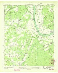
1936 Map of Counce
USGS Topo · Published 1936About this map
The Tennessee River forms a massive loop known as Big Bend in this 1936 survey, showing the landscape during a period of industrial transformation. At the center of this activity is the Pickwick Landing Dam (Under Const), a Tennessee Valley Authority project that would soon reshape the river’s shoreline. The map records several established river access points like Churchwell Landing and Tucker Landing that predate the reservoir's completion.
Find a feature on this map
57 named features on this map. Tap any name to fly to it.
Don’t see what you’re looking for? This feature index may not catch every label — zoom into the map to look around manually.
Map Details
Editions of this 1936 Counce Map
This is the sole edition of this map. No revisions or reprints were ever made.
Other maps of this area
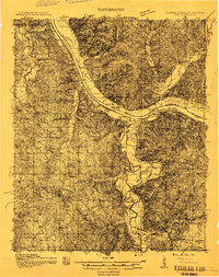
1911 · Iuka
USGS Topo · 1:48,000
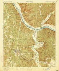
1914 · Iuka
USGS Topo · 1:62,500
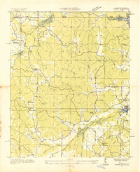
1935 · Doskie
USGS Topo · 1:24,000
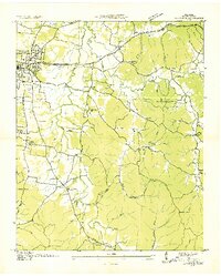
1936 · Savannah
USGS Topo · 1:24,000
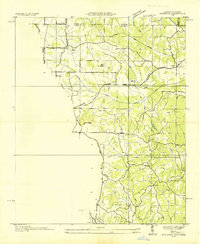
1936 · Kendrick
USGS Topo · 1:24,000
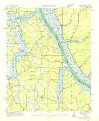
1936 · Shaws
USGS Topo · 1:24,000
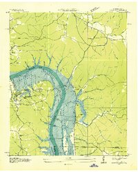
1936 · Pickwick
USGS Topo · 1:24,000
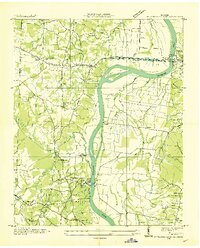
1936 · Pittsburg Landing
USGS Topo · 1:24,000
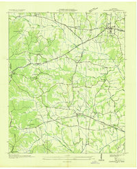
1936 · Stantonville
USGS Topo · 1:24,000
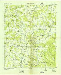
1936 · Michie
USGS Topo · 1:24,000