Loading...
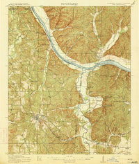
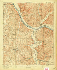
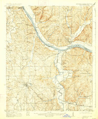
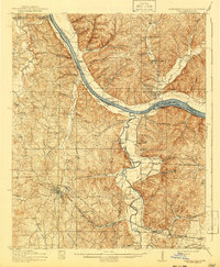
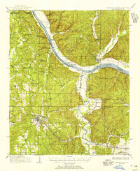
Loading map...1914 Map of Iuka
USGS Topo · Published 1914About this map
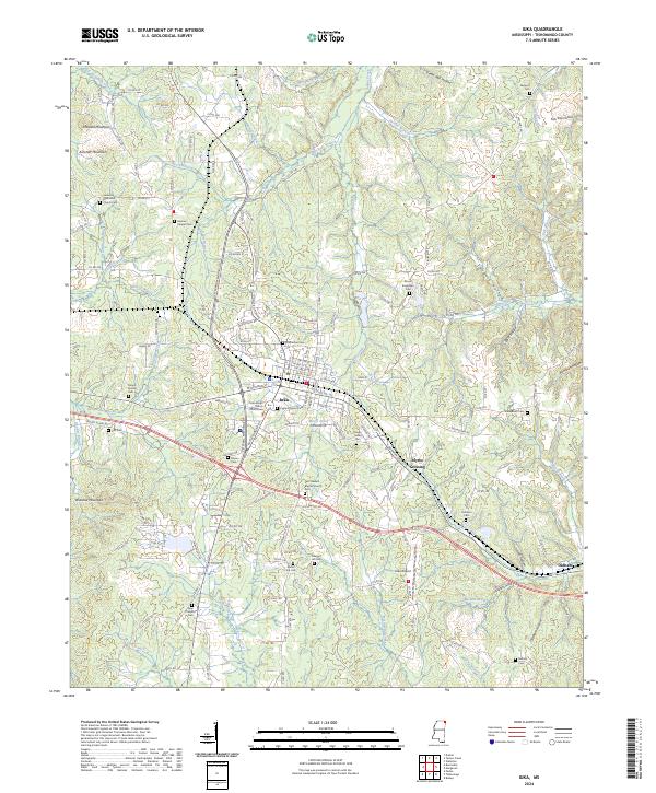
The Tennessee River serves as the dominant artery of this early twentieth-century landscape, carving a wide path where the borders of Mississippi, Alabama, and Tennessee meet. This 1914 survey illustrates a river-driven economy defined by numerous riverbank outposts like Hubbard Landing, Iuka Landing, and Shellbank Landing. The town of Iuka anchors the southwestern portion of the map, featuring the Lake Como landmark and serving as a key point on the Southern Ry.
Find a feature on this map
83 named features on this map. Tap any name to fly to it.
Don’t see what you’re looking for? This feature index may not catch every label — zoom into the map to look around manually.
Map Details
Date Portrayed1914
Date Published1914
PublisherU.S. Geological Survey
Map TypeTopographic
Scale1:62,500
Physical Dimensions16.4 x 19.4 inches
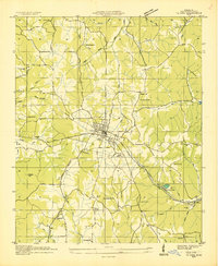
Editions of this 1914 Iuka Map
4 editions found
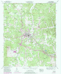
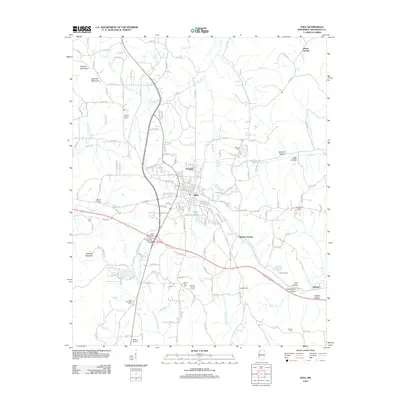
Historical Maps of Iuka Through Time
9 maps found
Featured Locations
Source Details
SourceU.S. Geological Survey
CopyrightPublic Domain